Pinal County, Arizona
Looking for the best photography in Pinal County? We've got you covered with the top trails, trips, hiking, backpacking, camping and more around Pinal County. The detailed guides, photos, and reviews are all submitted by the Outbound community.
Top Photography Spots in and near Pinal County
-
Apache Junction, Arizona
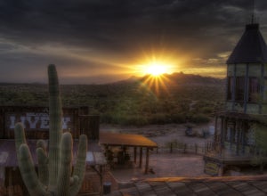
Catch a Sunset at Goldfield Ranch
4.0Although a tourist trap, Goldfield Ghost Town is a place any visitor might like stopping for a little food and a drink if they're hiking in the Superstition Mountains at the nearby Lost Dutchman State Park. It's certainly a place that has plentiful opportunities for some photography.While there y...Read more -
Apache Junction, Arizona
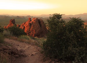
Treasure Loop Trail
4.82.34 mi / 571 ft gainLocated about 40 miles east of Phoenix right off AZ-88 E/N Apache Trail. The initial trail begins at an elevation of 2000 feet within the Sonoran Desert. The trail can be accessed via the Cholla (northern side) Day-use Area or the Saguaro (southern) Day-use Area. Once you're on the trail you wil...Read more -
Apache Junction, Arizona
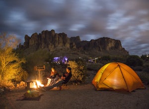
Camp at Lost Dutchman State Park
4.8Lost Dutchman State Park is located near the Superstition Mountains in central Phoenix, about 40 miles from Phoenix. There is a $7 day use fee to enter the park, which is waived if you’re camping ($15/night). The park offers 134 campsites, each with a picnic table, barbeque grill, and fire pit, a...Read more -
Apache Junction, Arizona
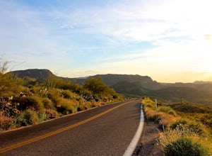
Drive Through The Apache Trail
4.8Its about a 40 minute drive to the beginning of the trail from Phoenix, and the trail itself is close to a two hour drive, if you don't plan on stopping along the way. The beginning of the trail really begins at the Superstition Mountains, you'll see a sign that says you are entering the Tonto Na...Read more -
Tucson, Arizona
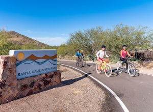
Bike The Loop at The Santa Cruz River Park
22 mi / 500 ft gainThe Loop is an in-development series of shared-use, hard-surface paths meant to connect all of Tucson by following the Santa Cruz River and its major tributaries. The Santa Cruz River Park contains 22 miles of The Loop (with another 40 in development) that runs along the western shore of the Sant...Read more -
Apache Junction, Arizona
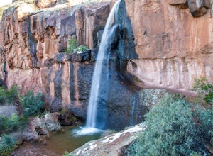
Hike Massacre Grounds Trail to Massacre Falls
5.05.5 mi / 1125 ft gainThere are many legends of a lost gold and buried treasures within the Superstition Mountains of Arizona. The most famous is the story of the Lost Dutchman Gold Mine. In the 1840's, the Peralta family from Northern Mexico mined rich gold ore from the area. In 1848 during one of the families exp...Read more -
Apache Junction, Arizona
White Rock Springs Camp Loop via First Water Trailhead
4.724.18 mi / 3635 ft gainThe Superstition Wilderness is a stunning 160,200 acre area outside Apache Junction, AZ, with over 170 miles of (variously maintained) trail networks. There are any number of trips you can design to fit your time and skill level. This adventure offers a three day/ two night backpacking trip cover...Read more -
Apache Junction, Arizona
Hike the Dutchman's Second Canyon Loop
5.016 miTo get to the trail head, drive past Lost Dutchman State Park on the 88 and then take the dirt road (on your right) with arrows leading you to First Water Trail Head. There is an outhouse at the trailhead, so I suggest visiting it before you begin this hike. I also started this hike about an ho...Read more -
Apache Junction, Arizona
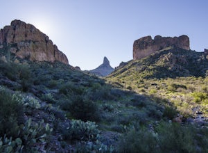
Hike Black Mesa Loop
4.59 miFrom First Water Trailhead, a short walk east brings you to the junction of the Dutchman trail and the Second Water trail. If you follow the Dutchman trail to the right you'll be heading southeast for a while, catching glimpses of Weaver's Needle in the distance. You can complete the loop going...Read more -
Tucson, Arizona
Camp at Molino Basin
0 mi / 0 ft gainMolino Basin Campground is the only campground of the Catalina District of the Forest Service to be open year round due to its lower elevation at only 4500'. Its position along the Mount Lemmon Highway makes Molino Basin a perfect basecamp for further adventures in the Santa Catalina Mountains, a...Read more -
Apache Junction, Arizona
Hike the Wind Cave Trail
4.32.9 mi / 790 ft gainThis is a great trail for a run or for stretching your legs exploring the caves in Usery Mountain Regional Park. Keep in mind that the trail leads you up to the cave and is the end point. To get better views of the area, you'll have to climb up past the caves, where the trail is not marked.Read more

