Arizona
Looking for the best photography in Arizona? We've got you covered with the top trails, trips, hiking, backpacking, camping and more around Arizona. The detailed guides, photos, and reviews are all submitted by the Outbound community.
Top Photography Spots in and near Arizona
-
Tucson, Arizona
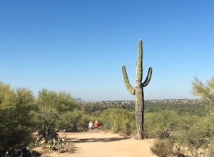
Canyon Loop Trail in Catalina State Park
2.26 mi / 180 ft gainThe Canyon Loop trail is an easy hike through the foothills that begins and ends at the Trailhead parking lot. (End of the road when you enter Catalina State Park from Oracle Rd - entrance fee required) The loop is relatively flat, although starts with a short uphill burst before leveling off. ...Read more -
Mount Lemmon, Arizona
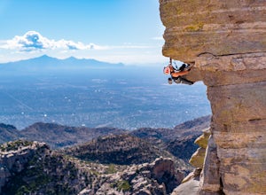
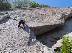
Rock Climb the Hitchcock Pinnacle
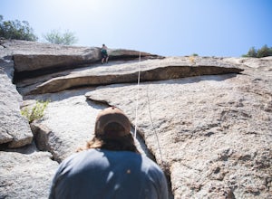
Hitchcock Pinnacle on Mount Lemmon may be the most recognizable landmark in the Santa Catalina Mountains due to its prominence over Catalina Highway and Windy Point. Ample parking is available as are bathrooms. The Pinnacle itself features several trad, sport, and top rope routes including a seri...Read more -
Sedona, Arizona
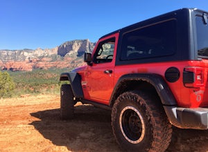
4X4 to Honanki Heritage Site
5.0One of Sedona’s best and most scenic drives, that happens to also lead to Native American ruins, has to be Loy Butte Road (FR-525). This route also forms the eastern half of the famous Outlaw 4×4 Jeep Trail. The road is very rough in places, especially during the latter part of the drive. The roa...Read more -
Ajo, Arizona
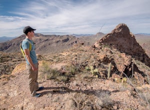
Hike the Estes Canyon/Bull Pasture Loop
3.6 mi / 900 ft gainThe trailhead for Estes Canyon/Bull Pasture is on the Ajo Mountain Road scenic loop. Ajo Mountain Road is a dirt, windy, sometimes steep, one way road. It is maintained so that a passenger car can drive it using caution.The trailhead has parking for two dozen cars, bathrooms, and a small shaded p...Read more -
Scottsdale, Arizona
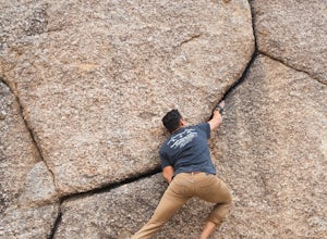
Boulder the Unknown Handcrack near Tom's Thumb
V-easy. 20 feet. Start on the Tom's Thumb Trail about .1 mi. Then take the Mesquite canyon trail left (SE) for .2mi. It will connect with the Feldspar trail. Turn left (E) and continue on until you see the climber access sign. Continue on the well marked trail towards the Girlie Man climbing area...Read more -
Scottsdale, Arizona
Marcus Landslide Trail
5.03.77 mi / 561 ft gainNamed after a landslide that scientists say occurred over 500,000 years ago, this interpretive hiking trail in the McDowell Sonoran Preserve is a perfect easy outing for families and nature lovers alike. It begins from the Tom's Thumb trailhead (shared parking lot), which is another beautiful hi...Read more -
Picacho, Arizona
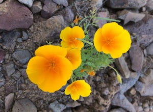
Photograph the Wildflowers at Picacho Peak State Park
4.0If Arizona is lucky enough to have a rainy winter, we will most certainly have a beautiful bloom come spring. One of the best places to see the beautiful golden blooms is on a hike in Picacho Peak State Park. Blooming season typically begins in mid/late February. Length depends on temperature –...Read more -
Tucson, Arizona
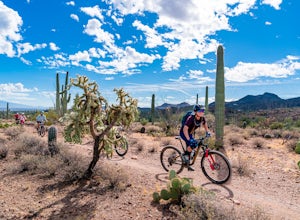
Mountain Bike the Desperado Loop
3.6 mi / 231 ft gainThe Desperado Loop in the Sweetwater Preserve is a great introductory mountain biking loop that is perfect for beginners, yet the Loop can also be tied into the larger Sweetwater Trail System for more advanced riders. Beginning from the parking lot, the Desperado Trail loop quickly rises to a rid...Read more -
Apache Junction, Arizona
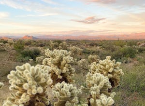
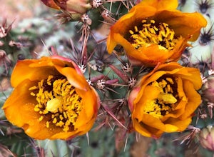
Photograph Cactus Blooms at Lost Dutchman
4.5And there is no better place to experience this beautiful display than at Lost Dutchman State Park. The State Park website shares that visitors can find "chuparosas, poppies, fiddle necks, globe mallow, chuparosa, brittle bush, desert evening primrose, lupine, ocotillo, chicory, scorpion weed, sk...Read more -
Scottsdale, Arizona
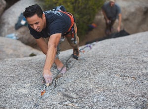
Climb Brusin' and Crusin' on Gardner's Wall
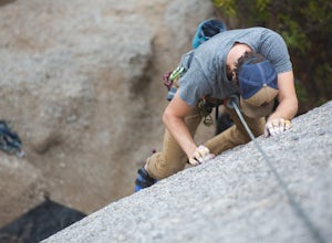
This is a 100 foot 5.8 trad climb. Access the Hanging Garden's climbing area off of the Tom's Thumb Trail. About half way up the trail you will see signage for "Rock Climbing Access Route." On the sign you will see an arrow pointing towards Gardner's Wall. This is the direction you want to take. ...Read more -
Tucson, Arizona
Bike The Loop at The Santa Cruz River Park
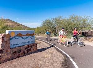
22 mi / 500 ft gainThe Loop is an in-development series of shared-use, hard-surface paths meant to connect all of Tucson by following the Santa Cruz River and its major tributaries. The Santa Cruz River Park contains 22 miles of The Loop (with another 40 in development) that runs along the western shore of the Sant...Read more -
Scottsdale, Arizona
Climb Girlie Man Near Tom's Thumb
5.9+ 3 bolt slab. About 65ft. To get there you will start on the Tom's Thumb Trail for about .1 mi. Then take the Mesquite canyon trail left (SE) for .2mi. It will connect with the Feldspar trail. Turn left (E) and continue on until you see the climber access sign. Continue on the well marked tra...Read more -
Scottsdale, Arizona
Climb Hanging Garden's on Gardner's Wall
This is a 2 pitch 5.6 trad climb. About 130 feet in total. Access the Hanging Garden's climbing area off of the Tom's Thumb Trail. About half way up the trail you will see signage for "Rock Climbing Access Route." On the sign you will see an arrow pointing towards Gardner's Wall. This is the dire...Read more -
Ajo, Arizona
Camp at the Alamo Canyon Campground
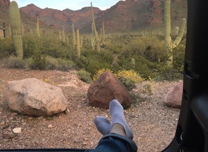
The Alamo Canyon campground is the closest campsite to the northern entrance of Organ Pipe National Monument, but this monument near Ajo, Arizona remains only lightly trafficked. Organ Pipe cacti dominate the landscape, but hikers and campers can enjoy a variety of lizards, birds and other wildli...Read more -
Tucson, Arizona
Camp at Molino Basin
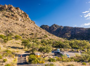
0 mi / 0 ft gainMolino Basin Campground is the only campground of the Catalina District of the Forest Service to be open year round due to its lower elevation at only 4500'. Its position along the Mount Lemmon Highway makes Molino Basin a perfect basecamp for further adventures in the Santa Catalina Mountains, a...Read more -
Scottsdale, Arizona
Climb Sphincter Boy Near Tom's Thumb
5.9 trad route. About 60ft. Can be set up as a Top Rope. To get there you will start on the Tom's Thumb Trail for about .1 mi. Then take the Mesquite canyon trail left (SE) for .2mi. It will connect with the Feldspar trail. Turn left (E) and continue on until you see the climber access sign. Cont...Read more

