Arizona
Looking for the best photography in Arizona? We've got you covered with the top trails, trips, hiking, backpacking, camping and more around Arizona. The detailed guides, photos, and reviews are all submitted by the Outbound community.
Top Photography Spots in and near Arizona
-
Apache Junction, Arizona
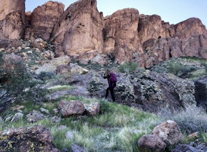
Hike to Praying Hands in Lost Dutchman State Park
4.04.3 mi / 954 ft gainBegin your hike in the Cholla parking lot, and start Treasure Loop Trail (this is the north side of the loop, heading east). Once you get to the base of the main cliffs, and the trail starts to veer to the right, this is where you branch off. Instead of veering right, go straight and off to the...Read more -
Tucson, Arizona
Catch a Sunset on "A" Mountain
4.00.3 mi / 250 ft gainIn 1910 a group of University of Arizona students took local basalt rock and constructed a 160' block "A" on the east face of Sentinel Peak overlooking Tucson, giving the prominent peak its most commonly known name. Now the area is part of the 272 acre Sentinel Peak Park, and features a great net...Read more -
Flagstaff, Arizona
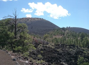
Hike the Lava Flow Trail at Sunset Crater Volcano National Monument
5.01 miGet started on the hike from the parking lot. The first quarter mile is paved and very easy to walk. The rest of the trail takes you to the base of the volcano through lava flows and tubes. This is an incredible landscape to take in along your hike.Read more -
Yuma County, Arizona
Hike to Signal Peak at Kofa
3 mi / 2100 ft gainKofa National Wildlife Refuge near Quartzsite, Arizona is a must see when visiting the area. The refuge encompasses over 600,000 acres with a large population of bighorn sheep. One of the most prominent features are the Kofa Mountains and the towering 4,877 foot Signal Peak. I followed the GPS co...Read more -
Black Canyon City, Arizona
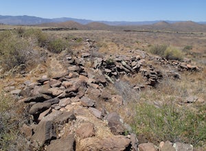
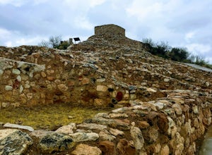
Explore Pueblo La Plata
0.25 miPueblo La Plata is the largest ancient Indian ruin in Agua Fria National Monument and dates back to before 1200 A.D. The ruin at one time had 80 to 90 rooms for living quarters. Now the sight seems like just a pile of rubble. However there is significant research continuing on the mesa of Agua Fr...Read more -
Flagstaff, Arizona
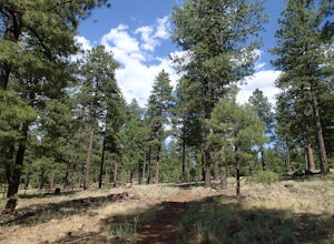
Hike the Two-Spot Loop Trail
2.5 mi / 100 ft gainThis loop trail has two different starting points. You can start at the south end of Rogers Lake (which is what I did) or the north end. I hike in a clockwise direction. This is recommended if you are hiking in the late afternoon as I did. The sun will be at your back during the section that has ...Read more -
Nutrioso, Arizona
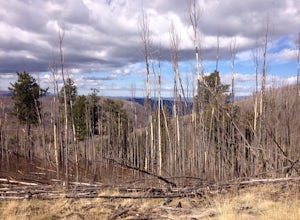
Hike to Escudilla Mountain Lookout Tower
6 mi / 1300 ft gainAlready starting off at elevation (about 9,560 feet above sea level), you first travel through a large stand of aspen trees during the beginning third of the trail.Depending on the season, the aspen can provide pleasant cover in summer, miraculous colors in fall and eerie creaking as the wind flo...Read more -
Rogers Trough Trailhead, Arizona
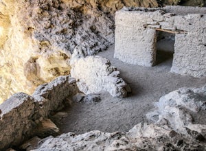
Hike Rogers Canyon Trail
5.08 mi / 1108 ft gainThe Superstition Wilderness is a vast rugged landscape where you can find the cultural remains of ancient Hohokam, Salado, Apache, and Yavapais tribes. Rogers Canyon Trail takes you to one of the most impressive and best preserved archaeological sites this region has to offer. These Salado ruin...Read more -
Flagstaff, Arizona
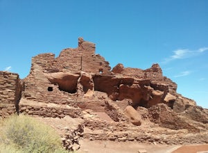
Hike the Wupatki Pueblo Trail
5.00.4 mi / 85 ft gainStart your hike from the visitor center and walk the path down to the different ruins. Take time to explore the ruins and admire the surrounding scenery. The path is rather uneven in certain places and require some caution.Read more -
Littlefield, Arizona
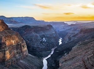
Camp at Tuweep Campground
5.0There are a number of ways to access Tuweep – and all access moves from the north to the south as you make your way toward the campsites. The most reliable road is Country Road #109 (a dirt road), which begins about eight miles west of Fredonia, Arizona. It’s also known as the Sunshine Route. On...Read more -
Marble Canyon, Arizona
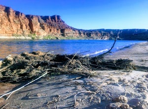
Paria Beach
5.0The area directly below Lee's Ferry campground is known as the Paria Riffle and Beach. The Paria is a small river that feeds into the Colorado River just north of the campground. Just park at the campground parking lot next to the river and walk a short distance to the sandy beach area where you ...Read more -
Roosevelt, Arizona
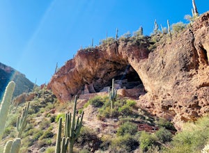
Visit Tonto National Monument
3.71.5 mi / 305 ft gainExplore two remarkably preserved American Indian cliff dwellings that date back to the 13th century. Set within a shelter bluff on the side of steep cliffs, the Upper and Lower Cliff Dwellings are well protected, and have great views of the surrounding Sonoran Desert. If you get to the park early...Read more -
Pima, Arizona
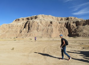
Explore the Canyons and Caves of Red Knolls Amphitheater
Red Knolls Amphitheater is a natural resource managed by the BLM just off of highway 70. The mesa is filled with slot canyons, caves and holes that are great for exploring and photography. Some trails can be steep and crumbling so use common sense when climbing this wild scenic area. Never climb...Read more -
3693 South Old Spanish Trail, Arizona
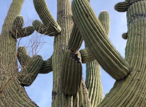
Drive the Scenic Loop in Saguaro National Park East (Cactus Forest)
4.58 miThe Cactus Forest scenic drive is one of two scenic drives in Saguaro National Park (the other is in the West district location). The drive in Saguaro National Park East is a paved eight-mile one way loop that runs through the heart of an extensive saguaro forest. If you’re lucky enough to visi...Read more -
Morristown, Arizona
Hiking in Hells Canyon Wilderness
Spanning 9,951 acres of backcountry a few miles northwest of Lake Pleasant and about 25 miles north of Phoenix, Hells Canyon Wilderness area offers a quick way to escape into an untamed swath of desert that’s more paradise than purgatory.I have to say, this entire trail is 36.3 miles (and is tec...Read more -
Clarkdale, Arizona
Hike the Tuzigoot Trail
4.50.5 mi / 55 ft gainSpend a couple of hours to discover the incredible legacy of an ancient people at Tuzigoot National Monument. Start at the Visitor Center, then take a self-guided, half mile loop trail that will lead around and through an incredible 110 room pueblo. The large building was home to the Sinagua peo...Read more

