Nutrioso, Arizona
Top Spots in and near Nutrioso
-
Nutrioso, Arizona
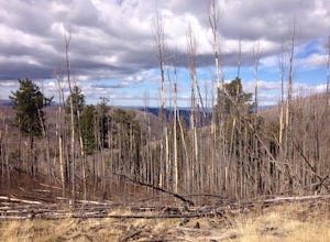
Hike to Escudilla Mountain Lookout Tower
6 mi / 1300 ft gainAlready starting off at elevation (about 9,560 feet above sea level), you first travel through a large stand of aspen trees during the beginning third of the trail.Depending on the season, the aspen can provide pleasant cover in summer, miraculous colors in fall and eerie creaking as the wind flo...Read more -
Greer, Arizona
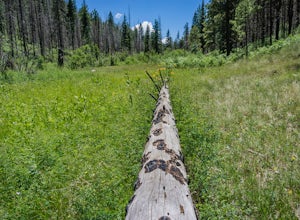
Hike the Government Springs Trail
6.25 mi / 68 ft gainTo find Government Springs Trailhead, follow State Route 260 to State Route 373 (the Greer Turnoff), turn right and follow State Route 373 to FR 575 until it ends. At the end of the road is a small parking lot with restroom facilities. The trail starts at the north end of the parking lot.This bea...Read more -
Apache County, Arizona
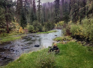
Hike the Thompson Trail
5.06 mi / 250 ft gainAs you travel down Forest Road 116, approximately 200 yards before the trailhead, you will see the remains of the old Thompson Cattle Ranch - hence, Thompson Trail #629. The trail begins atop an old railroad grade, a reminder of the very successful logging days that went on for many years. The r...Read more -
Greer, Arizona
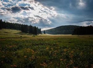
Backpack East Baldy Trail #95
13 mi / 1900 ft gainFrom the trailhead you start your hike with views over the East Fork of the Little Colorado River as it winds through grassy meadows filled with summer wildflowers. About 1.5 miles in the trail heads into the forest, on your left before you enter the forest is a nice primitive campsite where we s...Read more -
Greer, Arizona
Hike the West Baldy Trail
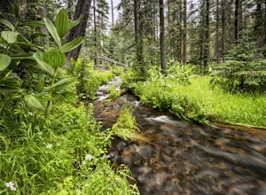
4.514 mi / 2000 ft gainThe West Baldy Trail is one of the most beautiful (and popular) hikes in Arizona. It is reminiscent of many alpine hikes you might find scattered across Colorado. The trail follows the Little Colorado River most of the way and the sound of trickling water complements the gorgeous mountains and gr...Read more -
Whiteriver, Arizona
Pacheta Falls
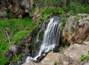
5.02.37 mi / 187 ft gainPacheta Falls is spectacular and worth the several hour drive over washboard roads and you explore the high country of Arizona. You will be on the White Mountain Apache Reservation, so please take note: You need to purchase a Special Use PermitNo swimming allowed4x4 with additional clearance re...Read more -
Catron County, New Mexico
Camp at the Cosmic Campground
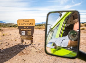
Cosmic Campground International Dark Sky Sanctuary (CCIDSS) is the first International Dark Sky Sanctuary located on National Forest System lands and also in North America. Situated on the western edge of the Gila National Forest & Wilderness the Cosmic Campground offers a 360-degree, unobst...Read more -
Mogollon, New Mexico
Explore Mogollon Historic District
Fun old town located at the bottom of Silver Creek Canyon. Many older mining buildings, mining memorabilia, a museum and hiking trails. There are a couple of restaurants open during the summer. Highway 159 to Mogollon is quite steep and scenic offering great views of the Mogollon Mountains.Read more -
Navajo County, Arizona
Blue Ridge Cave Trail
6.8 mi / 554 ft gainRight off Arizona Highway 260 at Porter Mountain Rd., you'll find this easy out-and-back hike that will wind you past Scott Reservoir to an ancient lava tube cave. To access the trailhead, take Porter Mountain Rd. for one mile off Highway 260, the parking area is easily visible about 0.1 mi past...Read more -
Pinetop-Lakeside, Arizona
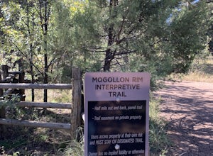
Mogollon Rim Interpretive Trail
3.00.8 mi / 30 ft gainMogollon Rim Interpretive Trail is an out-and-back trail where you may see local wildlife located near Lakeside, Arizona.Read more -
Catron County, New Mexico
Hike the Catwalk Trail
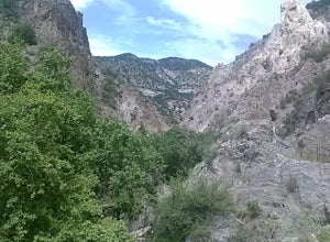
1 miGreat hike along a canyon above Whitewater river. You descent to the river bed when there is no high water. There is a picnic area and a place to relax along the river. Walking on the planks is quite fun.Read more
Top Activities
Camping and Lodging in Nutrioso
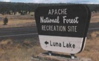
Alpine, Arizona
Luna Lake
Overview
Luna Lake Campground is a pleasant vacation site with open forest, lush meadows, a lake with great fishing, first rate mountain ...
Greer, Arizona
Benny Creek Group Area
Overview
Benny Creek Campground offers group camping in the remote and scenic White Mountains of Arizona. A perfect outdoor retreat for s...
Greer, Arizona
Winn
Overview
Winn Campground is situated near the Mt. Baldy trailheads and the East and West Forks of the Little Colorado River, making it an...
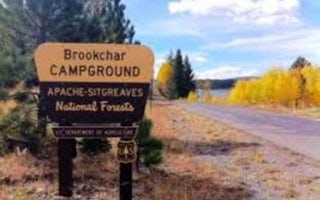
Greer, Arizona
Brookchar
Overview
Brookchar Campground is tucked on the banks of Big Lake in the White Mountains of eastern Arizona. The campground is a small, te...
Greer, Arizona
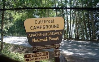
Cutthroat
Overview
Cutthroat Campground lies at an elevation of 9,000 feet in the White Mountains of eastern Arizona. It sits on the shoreline of B...
Greer, Arizona
Hoyer
Overview
Hoyer Campground is situated among the ponderosa pine forests of eastern Arizona, and is one of the most popular campgrounds in ...

