Pinetop-Lakeside, Arizona
Top Spots in and near Pinetop-Lakeside
-
Navajo County, Arizona
Blue Ridge Cave Trail
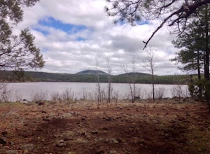
6.8 mi / 554 ft gainRight off Arizona Highway 260 at Porter Mountain Rd., you'll find this easy out-and-back hike that will wind you past Scott Reservoir to an ancient lava tube cave. To access the trailhead, take Porter Mountain Rd. for one mile off Highway 260, the parking area is easily visible about 0.1 mi past...Read more -
Pinetop-Lakeside, Arizona
Mogollon Rim Interpretive Trail
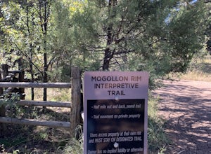
3.00.8 mi / 30 ft gainMogollon Rim Interpretive Trail is an out-and-back trail where you may see local wildlife located near Lakeside, Arizona.Read more -
Show Low, Arizona
Hike the Show Low Bluff Trail
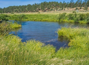
5.01.5 mi / 76 ft gainBuilt in 2012, this loop is part of the white mountain trail system and you may park directly at the trailhead. A paved walking path starts at the trailhead and leads you to a bridge that provides a beautiful view of Show Low Creek and the surrounding meadow. After crossing the bridge, you will e...Read more -
Greer, Arizona
Hike the West Baldy Trail
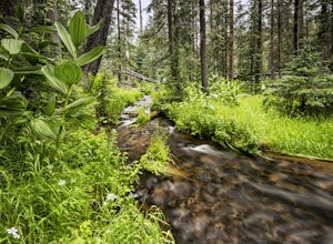
4.514 mi / 2000 ft gainThe West Baldy Trail is one of the most beautiful (and popular) hikes in Arizona. It is reminiscent of many alpine hikes you might find scattered across Colorado. The trail follows the Little Colorado River most of the way and the sound of trickling water complements the gorgeous mountains and gr...Read more -
Greer, Arizona
Hike the Government Springs Trail
6.25 mi / 68 ft gainTo find Government Springs Trailhead, follow State Route 260 to State Route 373 (the Greer Turnoff), turn right and follow State Route 373 to FR 575 until it ends. At the end of the road is a small parking lot with restroom facilities. The trail starts at the north end of the parking lot.This bea...Read more -
Greer, Arizona
Backpack East Baldy Trail #95
13 mi / 1900 ft gainFrom the trailhead you start your hike with views over the East Fork of the Little Colorado River as it winds through grassy meadows filled with summer wildflowers. About 1.5 miles in the trail heads into the forest, on your left before you enter the forest is a nice primitive campsite where we s...Read more -
Apache County, Arizona
Hike the Thompson Trail
5.06 mi / 250 ft gainAs you travel down Forest Road 116, approximately 200 yards before the trailhead, you will see the remains of the old Thompson Cattle Ranch - hence, Thompson Trail #629. The trail begins atop an old railroad grade, a reminder of the very successful logging days that went on for many years. The r...Read more -
Whiteriver, Arizona
Apache Falls
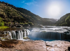
4.00.82 mi / 16 ft gainApache Falls in the Salt River Canyon is an impressive fall because of the size and the amount of water flowing over them (especially after snowmelt) and is one of the few waterfalls in AZ that is in a river not a creek. The falls are very easy to get to, only ¾ mile off the HW. To reach the fall...Read more -
Gila County, Arizona
Cibecue Falls
4.32.94 mi / 600 ft gainThe Hike It’s a bumpy ride down an old dirt road to get to the trailhead to hike Cibecue Falls. Use extreme caution on this road as there are very narrow sections with sheer cliffs. The road follows along the Salt River giving you a nice viewpoint of the Salt River Canyon. On your way in, yo...Read more -
Whiteriver, Arizona
Pacheta Falls
5.02.37 mi / 187 ft gainPacheta Falls is spectacular and worth the several hour drive over washboard roads and you explore the high country of Arizona. You will be on the White Mountain Apache Reservation, so please take note: You need to purchase a Special Use PermitNo swimming allowed4x4 with additional clearance re...Read more -
Holbrook, Arizona
Hike the Giant Logs and Long Logs trail to the Agate House
4.03 miBoth trails begin from the Rainbow Forest Museum located at the southern entrance of the National Park. Start with the Giant Logs trail which will take you on a short .4 mi paved loop through magnificently colored wood. Make sure to stop at the top of the trail by "Old Faithful" which is almost 1...Read more
Top Activities
Camping and Lodging in Pinetop-Lakeside
Apache County, Arizona
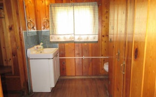
Caldwell Cabin
Overview
Caldwell Cabin allows up to six visitors to step back in time to a more rustic and historical era in eastern Arizona. Originally...
Apache County, Arizona
Rainbow (Az)
Overview
Rainbow is the largest campground in the Big Lake Recreation Area in eastern Arizona. Because of its proximity to the lake, size...
Apache County, Arizona
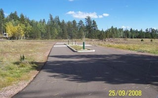
Apache Trout Campground
Overview
Apache Trout Campground is one of five campgrounds at the Big Lake Recreation Area in Apache-Sitgreaves National Forest, and is ...
Navajo County, Arizona
Lewis Canyon
Overview
Lewis Canyon is a large single-group campsite located in the scenic White Mountains region of eastern Arizona. With several amen...
Greer, Arizona
Hoyer
Overview
Hoyer Campground is situated among the ponderosa pine forests of eastern Arizona, and is one of the most popular campgrounds in ...
Greer, Arizona
Winn
Overview
Winn Campground is situated near the Mt. Baldy trailheads and the East and West Forks of the Little Colorado River, making it an...

