Littlefield, Arizona
Looking for the best chillin in Littlefield? We've got you covered with the top trails, trips, hiking, backpacking, camping and more around Littlefield. The detailed guides, photos, and reviews are all submitted by the Outbound community.
Top Chillin Spots in and near Littlefield
-
Washington County, Utah
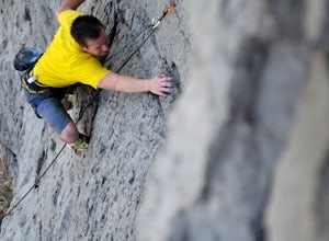
Rock Climbing St. George Utah
The Utah Hills areas of climbing are mostly limestone. Some of the best quality rock in the country. There are many areas here that are still being developed. The climbing style is sport climbing and the skill level needed is from beginner to expert, but to enjoy the area to its fullest interme...Read more -
St. George, Utah
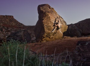
Climbing in Moe's Valley
5.0Moe's Valley, UT is a hidden climbing paradise found in southern Utah. It's located just minutes outside of St. George, Utah. For a long time, this world-class bouldering area stayed relatively unknown except to climbing developers and local climbers. Over the years it has grown tremendously in p...Read more -
Saint George, Utah
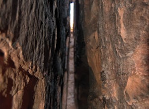
Check Out Pioneer Park's Little Narrows
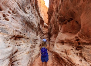
5.00.1 miPioneer Park's slot canyon is located in the red sandstone cliffs above St. George Blvd in Pioneer Park. Pioneer Park has tables for picnics and lots of fun rock formations for kids and adults to play on. The park is usually very crowded, and it can be challenging to find a parking spot in the pa...Read more -
Dammeron Valley, Utah
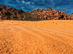
Explore the Sand Dunes in Snow Canyon State Park
3.50.5 miTo get to Snow Canyon State Park from St George, you take Bluff Street heading north until you reach the Snow Canyon Parkway exit that heads west. Follow this road until you reach Snow Canyon Drive, turn right here. This road will take you into the south entrance of the park. You will come upon a...Read more -
St. George, Utah
Hike to the Snow Canyon Petroglpyhs
3.81.8 mi / 200 ft gainThese are the coolest petroglyphs I have ever visited, but they are very difficult to find. They are located in Snow Canyon State Park; the parking is outside of the park and you enter the boundaries by crossing over a barbed wire fence. Bring a GPS if you have one because the petroglyphs are har...Read more -
Clark County, Nevada
Explore Elephant Rock, NV
4.3Elephant Rock is a beautiful red sandstone arch right at the West Entrance of Nevada's first state park, The Valley of Fire.Elephant Rock is easy to find. From I-15 take exit 75 and travel west. The exit is easy to find and there's an indian smoke shop and casino. If you forgot to get supplies yo...Read more -
Clark County, Nevada
Hike the White Domes Trail in Valley of Fire State Park
5.01 mi / 0 ft gainThe White Domes Loop Trail is at the end of Mouse's Tank Road. Travel north from the visitor center until you get to the White Domes Parking Lot. This short loop trail wanders through short slot canyons and towering sandstone formations. From the parking lot, head south down the sandstone steps. ...Read more -
Clark County, Nevada
Hike to Pink Canyon in Valley of Fire State Park
4.02 mi / 180 ft gainValley of Fire is a place that will exceed your expectations. It’s kind of small but packs a punch. Just an hour outside of Vegas, it’s the perfect retreat for anyone who is in need of a reprieve from the city lights.Anyone who has heard of this park is likely familiar with the Fire Wave . What y...Read more -
Clark County, Nevada
Photographing Rainbow Vista
4.5Rainbow Vista is located in the heart of Nevada's Valley of Fire State Park and only a short drive, north on I-15 out of Las Vegas.To get to Rainbow Vista drive the loop road toward the park's visitor center. It's a good idea to stop here if you need water, snacks, or a map. Remember the desert g...Read more -
Clark County, Nevada
Hike to Mouse's Tank in Valley of Fire State Park
5.01.5 miThis short hike takes you through a red sandstone canyon covered in beautiful Native American rock art. The incredible amount and concentration of petroglyphs on this hike make this a must-see in Valley of Fire State Park.There is a parking lot roughly one mile north of the visitor center where t...Read more -
Clark County, Nevada
Hike the Prospect Trail in the Valley of Fire
4.511 miComing from the adventure guide map you can buy at the Visitors Center, which you should do, they describe the Prospect Trail in the following:"Hikers and equestrians enjoy 5.5 miles of outback trail between Valley of Fire Highway and White Domes. Many work out the logistics of being picked up o...Read more -
Clark County, Nevada
Camp at Arch Rock Campground in Valley of Fire State Park
Arch Rock Campground is first come first serve campground in Valley of Fire State Park. It is the more "primitive" of the two campsites in the park. That is, there are far less RVs in this site and it is often easier to get a spot.To get here, take the Valley of Fire Highway to the entrance, whic...Read more -
Hurricane, Utah
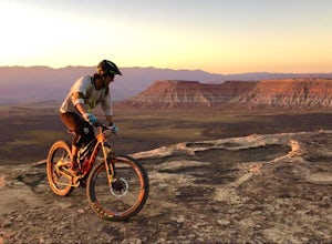
Camp at Little Creek Mesa
5.0Experience solitude and beauty at Little Creek Mesa Utah. When you get there, grab a campsite, and go for an evening mountain bike ride along the rim of the mesa and see breathtaking views of the valley below as the sun sets. Little Creek Mesa is located 22 miles from Hurricane, Utah and only 8 ...Read more

