Gold Canyon, Arizona
Looking for the best hiking in Gold Canyon? We've got you covered with the top trails, trips, hiking, backpacking, camping and more around Gold Canyon. The detailed guides, photos, and reviews are all submitted by the Outbound community.
Top Hiking Spots in and near Gold Canyon
-
Maricopa County, Arizona
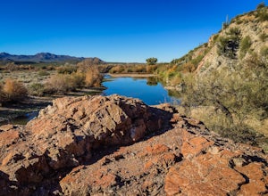
Second Water To Boulder Canyon Camp
9.12 mi / 951 ft gainSecond Water To Boulder Canyon Camp is an out-and-back trail where you may see beautiful wildflowers located near Tortilla Flat, Arizona.Read more -
Apache Junction, Arizona
White Rock Springs Camp Loop via First Water Trailhead
4.724.18 mi / 3635 ft gainThe Superstition Wilderness is a stunning 160,200 acre area outside Apache Junction, AZ, with over 170 miles of (variously maintained) trail networks. There are any number of trips you can design to fit your time and skill level. This adventure offers a three day/ two night backpacking trip cover...Read more -
Apache Junction, Arizona
Hike Battleship Mountain
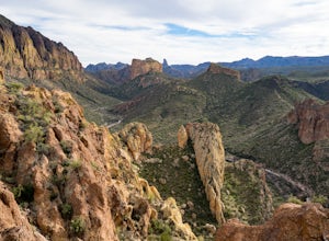
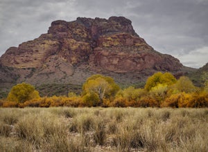
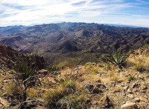
5.011.5 mi / 443 ft gainBattleship Mountain is nestled within the Superstition Mountains, surrounded by dramatic peaks and desert landscapes. The hike itself is beautiful, and the views once on top of Battleship Mountain are exceptional. The diversity and uniqueness of geological formations in the mountains surrounding ...Read more -
Apache Junction, Arizona
Hike the Dutchman's Second Canyon Loop
5.016 miTo get to the trail head, drive past Lost Dutchman State Park on the 88 and then take the dirt road (on your right) with arrows leading you to First Water Trail Head. There is an outhouse at the trailhead, so I suggest visiting it before you begin this hike. I also started this hike about an ho...Read more -
Apache Junction, Arizona
Hike Black Mesa Loop
4.59 miFrom First Water Trailhead, a short walk east brings you to the junction of the Dutchman trail and the Second Water trail. If you follow the Dutchman trail to the right you'll be heading southeast for a while, catching glimpses of Weaver's Needle in the distance. You can complete the loop going...Read more -
Apache Junction, Arizona
Hike the Wind Cave Trail
4.32.9 mi / 790 ft gainThis is a great trail for a run or for stretching your legs exploring the caves in Usery Mountain Regional Park. Keep in mind that the trail leads you up to the cave and is the end point. To get better views of the area, you'll have to climb up past the caves, where the trail is not marked.Read more -
Apache Junction, Arizona
Hike the Boulder Canyon Trail
4.010 mi / 1500 ft gainParking for the trailhead is actually in the same lot as the marina. There is a restaurant, campground, and restrooms all in the vicinity of the parking lot. The actual trailhead is on the other side of the street opposite the parking lot entrance road. The hike begins an uphill climb. In a c...Read more -
Pinal County, Arizona
Photograph Elephant Arch
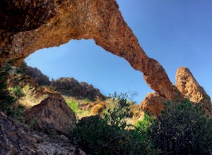
4.00.4 mi / 250 ft gain...For this very short stroll to Elephant Arch, I'd like to clarify that it's more of a sightseeing and/or photo opportunity trip than a hiking trip. It's so close that it can be seen from the side of the road. So just forewarning! Nonetheless, if you love natural wonders then it's a landmark you...Read more -
Maricopa County, Arizona
Hike the Goldfield Ovens Loop
7.5 mi / 575 ft gainA Tonto Day Pass is required for this hike as you will park your vehicle at the Blue Point Picnic Area. The trail starts North of the restrooms which are located at the backside of the parking lot. The trail takes you through a mesquite filled area alongside large rock faces. Be sure too look for...Read more -
Fort McDowell, Arizona
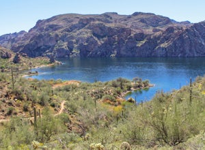
Hike Butcher Jones Trail Around Saguaro Lake
4.64 mi / 300 ft gainButcher Jones Recreational Area truly has a little bit of everything. However, the highlight of the area is the Butcher Jones Trail, a 4 mile out and back trail that is suitable for all skill levels. With minimal elevation gain and beautiful views, it can't be beat!The trailhead is located right ...Read more -
Queen Creek, Arizona
Hike the Dynamite and Goldmine Loop
5.04.7 mi / 773 ft gainThis trail is a moderately-rated hike. It is used for a variety of activities including hiking, mountain biking, running, and walking. To access the trail, it is important to note that there is a $7 cash parking fee, so be prepared! The beginning of the trail is the most challenging part as it ...Read more -
Mesa, Arizona
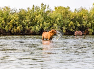
Photograph the Salt River Wild Horses at Coon Bluff
5.0Wild horses have roamed the banks of the lower Salt River since long before the Tonto National Forest was created in 1902. It is thought that these wild horses have descended from a herd brought to the area by a Spanish missionary in the 1600's. In 2015 the United States Forest Service had pu...Read more -
Fort McDowell, Arizona
Hike the Lower Salt River Nature Trail
2.52.4 miThis scenic loop offers views of Four Peaks, the Salt River & Verde River, and a desert landscape with plenty of wildlife. Keep an eye out for eagles, wild horses, and other wildlife while you're on the trail. This trail starts from the Phon D Sutton Recreation site, which is located at the...Read more -
Rogers Trough Trailhead, Arizona
Hike Rogers Canyon Trail
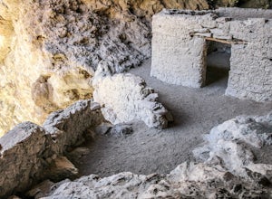
5.08 mi / 1108 ft gainThe Superstition Wilderness is a vast rugged landscape where you can find the cultural remains of ancient Hohokam, Salado, Apache, and Yavapais tribes. Rogers Canyon Trail takes you to one of the most impressive and best preserved archaeological sites this region has to offer. These Salado ruin...Read more -
Superior, Arizona
Hike Picketpost Mountain
4.74.4 mi / 2200 ft gainFrom the parking lot you will start out on the Arizona Trail until you reach the turn off to begin your accent up the mountain. This part of the trail isn't well maintained, and is a scramble, so be ready to use those hands. The trail is marked with cairns though and there is enough traffic tha...Read more -
Scottsdale, Arizona
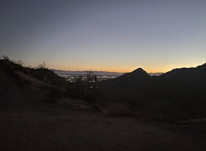
Sunrise Trail to Sunrise Peak
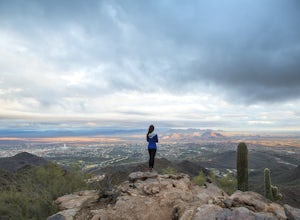
4.83.73 mi / 1037 ft gainSunrise Peak, also known as Sunrise Trail, is located at the residential foothills of the McDowell Mountains in Scottsdale, Arizona. The trail will start next to a residential neighborhood, but after about a quarter mile you'll be immersed in the pristine Sonoran Desert. The trail will lead you t...Read more

