Clarkdale, Arizona
Looking for the best photography in Clarkdale? We've got you covered with the top trails, trips, hiking, backpacking, camping and more around Clarkdale. The detailed guides, photos, and reviews are all submitted by the Outbound community.
Top Photography Spots in and near Clarkdale
-
6871 Arizona 89A, Arizona
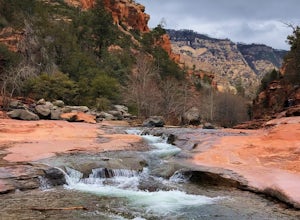
Explore Slide Rock State Park
4.6This beautiful State Park, which is the original location of the Pendley Homestead, is a historic apple farm (the apple trees are still there!). This is a favorite stop for families in the summertime, so if you come then, make sure to arrive early. It’s common to find throngs of people in the cr...Read more -
Oak Creek Canyon, Arizona
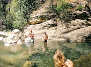
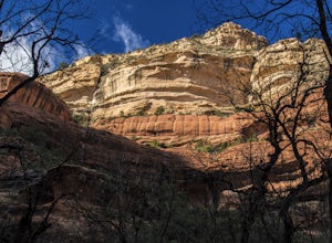
Swim in Oak Creek Canyon
5.0For this adventure you'll want to make your way to Oak Creek Canyon off highway 89 in Arizona. The GPS should get you there no problemo, my recommendation would be to look for a swimming hole upstream of Slide Rock State Park. Now this adventure is a little bit of a hunt, as you're driving the ca...Read more -
Sedona, Arizona
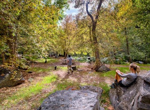
Picnic at Banjo Bill
Nestled in Oak Creek Canyon, and throughout the Red Rock District are several picnic and day-use areas. Popular sites include; West Fork, Red Rock Crossing, Banjo Bill and Grasshopper, which provide unique hiking, creek side picnicking, swimming and fishing opportunities. All Oak Creek Canyon cam...Read more -
Sedona, Arizona
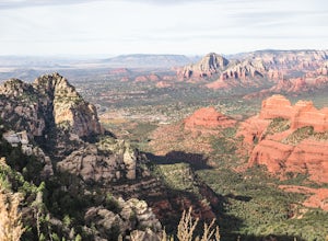
Hike Munds Mountain
6 mi / 1400 ft gainMunds Mt. is the highpoint due east of the town of Sedona, but due to its forested summit and trailhead accessibility limited to 4WD vehicles, it gets far less interest than hikes like Cathedral Rock, Wilson Mountain, or Fay Canyon yet has fantastic views of the town of Sedona and the surrounding...Read more -
Williams, Arizona
Hike the Kelsey Spring/Hog Hill/Dorsey Spring Loop
13.4 mi / 2200 ft gainThis hike starts at the Kelsey Spring Trailhead. Park at the end of Forest Service Road 538G. There is parking for about 6-7 cars. Just past the signage for the trail, which is also called Kelsey Winter Trail, there is a trail registration box. Be sure to sign in. The trail descends steeply for t...Read more -
Sedona, Arizona
West Fork Trail
5.06.49 mi / 1102 ft gainThis is one of the most beautiful hikes in Sedona, Arizona. It is a fairly easy hike, although it is 6 miles roundtrip. A lot of families come here, and children love to play in the water. There are various stream crossings, but for most of them, you should be able to keep dry. The canyon walls ...Read more -
Sedona, Arizona
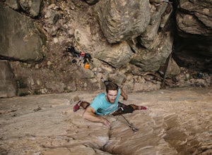
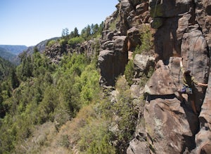
Climbing at Oak Creek Canyon
5.0Getting There About 18 miles south of Flagstaff on the 89A, turn into the Cave Springs parking lot and look for the trail just right of the first bridge. Hike up the chossy hill until you reach a giant sandstone slot canyon in the northwest. Climbing This canyon contained the crags, known as the ...Read more -
Prescott, Arizona
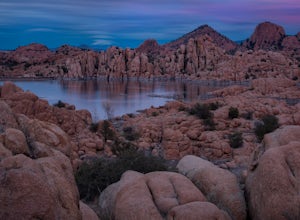
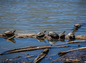
Camp at Watson Lake in Prescott
3.0Camping sites are only available in the summer months but the park is explorable year round! Watson Lake is a very unique place, in a state primarily made up of sandstone lies a lake surrounded by uniquely shaped Granite Boulders, excellent for hiking, rock climbing and photographing! Be sure to ...Read more -
Prescott, Arizona
Hike Lynx Lake
4.83.52 mi / 182 ft gainStarting at the parking lot, you will have to pay your dues prior to beginning your hike. You will immediately be met with fresh air and refreshing summer temperatures. A short decent down will lead you to the first trail marker, which the 55-acre lake becomes the centerpiece of your view. At thi...Read more -
Flagstaff, Arizona
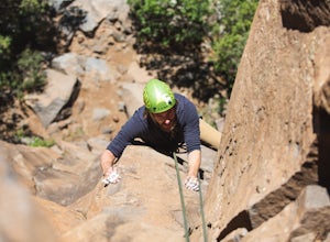
Climb Red Wagon at the Oak Creek Canyon Lookout
5.8, 80ft trad climb at the Oak Creek Canyon Lookout. To get there, take the 89A North from Sedona, or South from Flagstaff. Then you will see signs for the Oak Creek Canyon Lookout. Take the turn off and park in the lot. If you think you will stay beyond closing, park across the street so you d...Read more -
Flagstaff, Arizona
Climb Morning's Mourning at the Oak Creek Canyon Lookout
5.8+, 80ft trad climb at the Oak Creek Canyon Lookout. To get there, take the 89A North from Sedona, or South from Flagstaff. Then you will see signs for the Oak Creek Canyon Lookout. Take the turn off and park in the lot. If you think you will stay beyond closing, park across the street so you ...Read more -
Flagstaff, Arizona
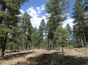
Hike the Two-Spot Loop Trail
2.5 mi / 100 ft gainThis loop trail has two different starting points. You can start at the south end of Rogers Lake (which is what I did) or the north end. I hike in a clockwise direction. This is recommended if you are hiking in the late afternoon as I did. The sun will be at your back during the section that has ...Read more -
Flagstaff, Arizona
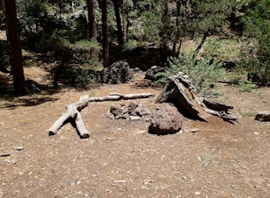
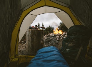
Camp at Red Rock
4.8Starting from Downtown Flagstaff we headed west. After making a left turn on Woody Mountain Road, we continued for 22 miles. Woody Mountain Road then becomes Forest Road 231. Continue on FS 231 until you find a killer spot to pitch it! Make sure to be wary of elk herds crossing the roads.We made ...Read more -
Yavapai County, Arizona
Verde Hot Springs
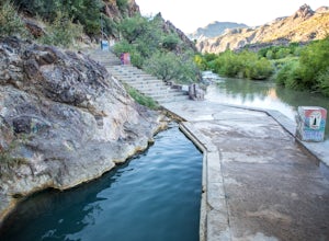
3.32.46 mi / 118 ft gainThe pools at the Verde Hot springs are the remnants from an old resort built in the 1920's. The resort was a once thriving tourist attraction and also rumored to be one of Al Capone's hideouts. In the 1960's a fire destroyed the resort only leaving behind the foundation and the thermal pools al...Read more -
Pine, Arizona
Fossil Creek Falls
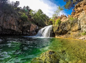
4.82.42 mi / 328 ft gainThe journey is definitely worth it! Don't let the description discourage you from visiting here. This is simply to help you be prepared so that you can enjoy this wonderful place as safely as possible! Fossil Creek Rd can only be accessed from Camp Verde via FH 9 (Hwy 260) and FR 708 due to road...Read more -
Flagstaff, Arizona
Hike and Camp at Arizona's A1 Mountain
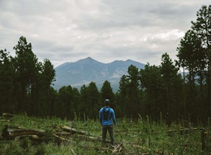
4.76.6 miles west of downtown Flagstaff off the I-40 West is the A1 Mountain Road. Continue over the cattle guards and enter into the A1 Mountain Area—perfect for hiking, camping, and trail running.The main road is well established for a dirt road, and many of the hiking trails branch off from it. T...Read more

