Clarkdale, Arizona
Looking for the best photography in Clarkdale? We've got you covered with the top trails, trips, hiking, backpacking, camping and more around Clarkdale. The detailed guides, photos, and reviews are all submitted by the Outbound community.
Top Photography Spots in and near Clarkdale
-
Sedona, Arizona
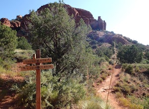
Hike the Chimney Rock Loop, Sedona
2 mi / 400 ft gainThis loop hike starts at the Andante Trailhead at the end of Andante Road on the edge of Sedona. From the parking area, turn left (west) onto the Andante Trail and follow it for a short distance until the trail ends on the Thunder Mountain Trail. Turn left and follow the Thunder Mountain Trail un...Read more -
Sedona, Arizona
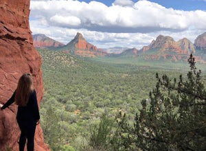
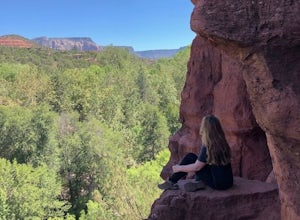
Hike to the Birthing Cave
5.02 mi / 291 ft gainThe hike is an easy one, flat and not too long. In the spring you'll see lots of flowers. Note, the popularity of this Sedona cave has grown in the past year, so you will most likely encounter other hikers and mountain bikers. You start from the Long Canyon Trailhead, and I recommend going earl...Read more -
Sedona, Arizona
Hike or Bike the Hiline Trail in Sedona
5.08 mi / 480 ft gainStart this incredible hike by parking at the Yavapai Point parking lot. Start the short hike (0.13 miles) on the Kaibab Trail which will run into Yavapai Vista Trail (0.27 miles) towards the Slim Shady Trail. Here you will have an incredible view of Bell Rock and Courthouse Vista an excellent pla...Read more -
Sedona, Arizona
Sedona Wind Caves
0.52 mi / 89 ft gainThese beautiful caves are located mid-way through a short 0.5 mile hike, rated moderate. And if you weren’t looking, you would never know they were there… note that they are before the end of the trail, on the right as you hike. The caves are well trafficked, so if you go, make sure to go earl...Read more -
Sedona, Arizona
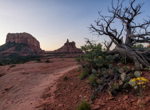
Baby Bell Rock
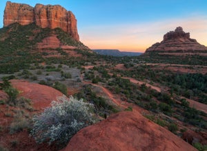
5.01.03 mi / 112 ft gainAt roughly a 1 mile loop, the Bell hike is a short but very sweet hike with high reward, it's an amazing spot to sit an watch the sun dip below the horizon and if you're lucky, may even have the view to yourself. Accessing the hike is best started at the Bell Rock Parking lot, if you're heading ...Read more -
Yavapai County, Arizona
Explore Montezuma's Castle National Monument
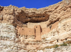
4.6Montezuma Castle is actually one of the United State's first National Monuments. This five story 50 room cliff dwelling is one of the best preserved in all of North America. There is a short interpretive walk along the cliff in which one can see the many remnants of the previous inhabitants.The S...Read more -
Sedona, Arizona
Brins Mesa - Soldier Pass Loop
5.07.6 mi / 1040 ft gainThis loop starts from Vultee Arch Rd. Important to note that doing this loop from here requires a high clearance 4x4. In this direction, the trail starts off flat and crosses a dry creek bed several times. The trail is relatively easy to follow. This section passes through junipers that offer som...Read more -
Sedona, Arizona
Soldier's Pass Trail to Brins Mesa Trail
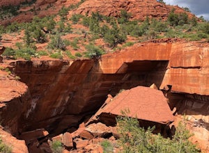
4.84.4 mi / 617 ft gainStarting at the trailhead is a parking lot for around 14 vehicles, arrive early in the morning if you want to be guaranteed a parking spot. Otherwise the hike starts off relatively easy with a quick stop at Devil's Kitchen; a big hole in the ground where a rock has now fallen in (see pictures). ...Read more -
Sedona, Arizona
Devils Kitchen
5.00.35 mi / 23 ft gainGreat spot for photos, and is at the beginning of one of the best trails in Sedona. The parking lot can get full easily, since this is a very popular trail. The sinkhole is close to the trailhead, but I encourage you to continue on down the Soldier’s Pass trail. As with all outdoor advent...Read more -
Sedona, Arizona
Broken Arrow Trail to Chapel of the Holy Cross
4.54.91 mi / 640 ft gainThe Broken Arrow Trail is stunning. To reach the Broken Arrow Trail from the town of Sedona, head south on 179-S for approximately 1.5 miles and turn left on Morgan Road. Drive down Morgan Road until you reach the end of the asphalt and it turns into a dirt road. Drive down the dirt road approx...Read more -
Sedona, Arizona
Broken Arrow Trail to Chicken Point
4.62.79 mi / 420 ft gainStart your hike at the Broken Arrow Trailhead, just .2 miles past the end of Morgan Rd. You will be immediately greeted by Sedona slickrock trails and red rock views for days! Take a minute to sneak a peek at Devil's Dining Room Sinkhole around 0.6 miles in. It has a sign and is just of to the ri...Read more -
Yavapai County, Arizona
Hike to Montezuma's Well
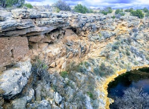
5.00.5 mi / 117 ft gainThis trail takes you to the rim of Montezuma Well, a massive collapsed limestone sinkhole. The springs at the bottom of the sinkhole feed a large pond which supports a unique aquatic habitat in this dry landscape. Scientists are still baffled as to the origin headwaters of the water within this c...Read more -
Sedona, Arizona
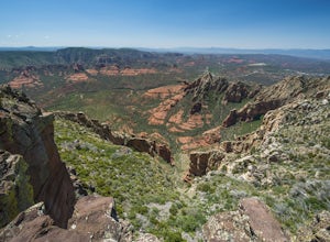
Hike to the Wilson Mountain Summit - South Overlook
4.59.5 mi / 2600 ft gainEver wanted to see Sedona from a bird’s eye view? Sure, you could spring for a helicopter tour. Or…you could hike Wilson Mountain Summit! No other location in Sedona will offer you a view that is so expansive and so breathtaking (and one where you are actually looking DOWN on the helicopters givi...Read more -
Sedona, Arizona
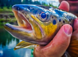
Fly Fish Oak Creek
4.0Oak Creek is spring fed from the upper reaches of Oak Creek Canyon. It flows into the Verde River and the upper sections provide for some excellent trout fishing. The trout is stocked from Page Springs Hatchery, below this area the water becomes to warm for trout to survive. While in the area, yo...Read more -
Sedona, Arizona
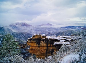
Camp at East Pocket (Edge of the World)
4.7We love coming to this site in the Summer and Fall, but wanted to "test" our cold-weather gear before backpacking this Winter. So we went to our tried and true spot, with the comfort of our cars, so we could work out our layering and sleep system. Have a few cups of warm spiked cider and enjoy! T...Read more -
Sedona, Arizona
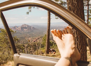
Dispersed Camping in Coconino National Forest (Edge of the World)
5.0This campsite is definitely out there. You'll take a dirt road into what seems to be a thick forest. Tell your GPS to put you on Woody Mountain Road in Flagstaff, AZ. Once you are on this road set your speedometer and follow this road for about 23 miles. Do not make any turns off of this road, th...Read more

