Sylacauga, Alabama
Looking for the best hiking in Sylacauga? We've got you covered with the top trails, trips, hiking, backpacking, camping and more around Sylacauga. The detailed guides, photos, and reviews are all submitted by the Outbound community.
Top Hiking Spots in and near Sylacauga
-
Birmingham, Alabama
Hike to Ruffner Mountain's Hawk's View Overlook
4.82 mi / 200 ft gainPark at the little league baseball fields that are across the road from the access point where the trail meets the road on the southeastern corner of the preserve that you can see on the map. Hike up a gentle incline NW on the Ridge and Valley Trail for about fifteen minutes to the trail intersec...Read more -
Hoover, Alabama
Exploring Moss Rock Preserve
5.00.5 mi / 164 ft gainHome to one of the largest boulder fields in Southeast, Moss Rock Preserve provides adventure for all types of explorers. Nestled in the rocky, rolling hills of Birmingham, at the end of the Appalachian Mountains, Moss Rock is aptly named after the behemoth boulders littered throughout its charmi...Read more -
Birmingham, Alabama
Bouldering at Moss Rock Preserve
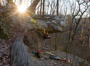
5.01 mi / -50 ft gainMoss Rock has abundant parking, and easy access to all climbing areas. There is no fee for use or facilities, however there are several small local restaurants and often times a food truck within walking distance of the parking lot.There are two major bouldering areas as well as hiking trails and...Read more -
Montevallo, Alabama
Falling Rock Falls
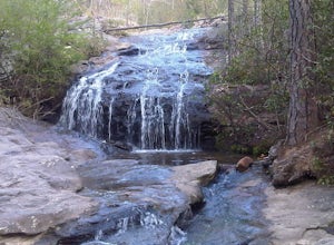
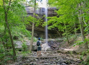
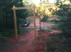
3.91.83 mi / 243 ft gainThe location of the pin leads you to a gravel road with a gated entrance. Park at the white gate and start to hike up the gravel road. The hike is not very strenuous and the waterfall is pretty easy to find. As you hike up the road for a little while the road will fork. Go left at the fork and co...Read more -
Wetumpka, Alabama
Hike Swayback Bridge Trail
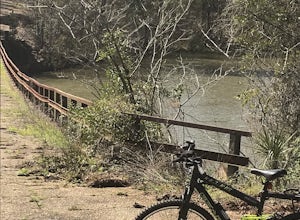
4.6 mi / 272 ft gainJust 15 miles and 20 minutes north of central Alabama’s capital city, Montgomery. You will usually meet someone, but rarely find Swayback Bridge area crowded. It is a classic compact hiking and biking trail in central Alabama. Designed as a single track biking trail system bikers and hikers mingl...Read more -
Wetumpka, Alabama
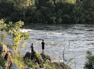
Fishing Trail in Jordan Dam
2 mi / 99 ft gainThis is an iconic spot in central Alabama. It is below the great fishing lake Jordan, and above the most common entry for the Coosa River kayaking adventure. Approximately a one mile hike from the dam to the boat launch. However, the rock formations you have to cross are not for the faint of hea...Read more -
Dadeville, Alabama
Hike the Deadening Alpine Trail
3.6 mi / 580 ft gainThe Deadening Alpine Trail, that name just reeks of adventure. It is about half way between Birmingham to the north, and Montgomery to the south, (The Deadening Alpine Trailhead, 354 Long Branch Dr. Dadeville, AL 36853). It runs through an isolated area on Lake Martin, which is a popular playgrou...Read more -
Birmingham, Alabama
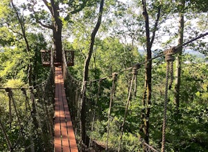
Trail Run to Skyhy Tree House at Red Mountain Park
4.84.5 mi / 250 ft gainFrom the park entrance there are several ways to get to Skyhy Tree House, and the trail system allows for loops of varying distances and difficulty. There’s a large map about a quarter mile down the main trail from the park entrance, and paper trail maps are usually available at this sign. The tr...Read more -
Wetumpka, Alabama
Fort Toulouse & Fort Jackson
Historic Fort Toulouse and Fort Jackson feature views where the Coosa and Tallapoosa Rivers meet along the William Bartram Loop walking trail. At this historic site, you can see a Native American burial mound and a small cemetery. Additionally, there is a hiking tour that takes you through the ...Read more


