Ontario
Looking for the best hiking in Ontario? We've got you covered with the top trails, trips, hiking, backpacking, camping and more around Ontario. The detailed guides, photos, and reviews are all submitted by the Outbound community.
Top Hiking Spots in and near Ontario
-
Evansville, Ontario
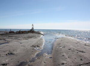
Hike Coastal Alvar Trail, Misery Bay Provincial Park
5 mi / 0 ft gainThe Coastal Alvar Trail is an 8km loop that is rated as Moderate, although for those used to hiking in higher elevations or summits it would be considered easy.The trail is well-marked with hand-written signs. You begin at the Visitor Centre (that has laminated maps you can take with you) and wal...Read more -
Bracebridge, Ontario
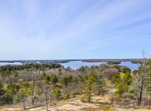
Hike to Huckleberry Rock Lookout
1.2 miThis is a beautiful trail where many scenic Muskoka views can be observed. The trail begins in the middle of a beautiful forest which quickly opens to exposed bedrock, the oldest rock on the planet. On this excursion breathtaking views of Lake Muskoka from afar and the pink exposed rock of Huckle...Read more -
Thunder Bay, Ontario
Hike to Trowbridge Falls
2.2 mi / 0 ft gainTrowbridge Falls is a nearby city park and a favorite among the locals and they say it's haunted too! During the summer months cool off in the water and in winter cross country ski. Trowbridge Falls is a conservation area and is connected to Centennial Park by a bridge. Centennial park offers ...Read more -
Parry Sound, Unorganized, Centre Part, Ontario
Hike Gut Lake
1.9 miThis is a 2.5km loop hike that begins at the beach at the Northern side of Gut Lake. Gut Lake is located within Grundy Lake Provincial Park so you will need to purchase a park permit in order to access this lake (link below).The trailhead for Gut Lake is located just south of a Visitor Center an...Read more -
Kemptville, Ontario
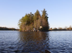
Kayak Tip to Tip on the Rideau Canal
2.5 miThe Tip to Tip trail is the perfect location for a quick stroll, Kayak, or canoe. Located on a small quiet island called Burrits Rapids, Ontario, there is a small launch before a classic swing bridge for easy access to the water, in addition to a walking trail extending from one tip of the island...Read more -
Fort William First Nation, Ontario
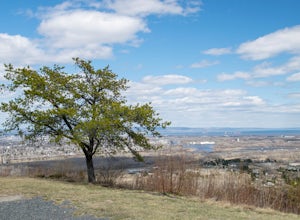
Visit Mount McKay Lookout
1 miMount McKay is located on the Indian Reserve of the Fort William First Nation and is 1,000 ft over the city with stunning views of Thunder Bay, Lake Superior, Sleeping Giant and the surrounding countryside. There's a small fee to get in to the park, but if you arrive when it's closed at the gate....Read more -
Flesherton, Ontario
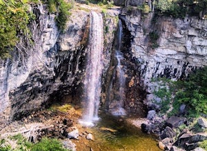
Hike to Eugenia Falls
0.5 mi / 25 ft gainSituated in the very tiny village of Eugenia, Eugenia Falls Conservation Area encompasses 23 hectares of Niagara Escarpment, river valley and upland forests. The site features hiking trails, a picnic pavilion, privies and a war memorial, as well as the 30 metre tall waterfall. When first discover...Read more -
Unorganized Thunder Bay District, Ontario
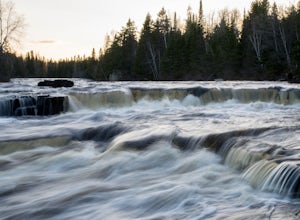
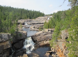
Hike to Silver Falls
4.1 mi / 461 ft gainBeginning at the trailhead, the trail to the river twists and turns and switches back until you reach the bottom of the waterfalls. Then, you can continue up the hill (pick some blueberries on the way!) until you reach the peak. At the top there is a small pool perfect for swimming.Read more -
Neys Provincial Park Roads Road, Ontario
Camp at Neys Provincial Park
5.01 mi / 0 ft gainOn the Ontario Parks website, Neys is described as one of the finest sand beaches on the north shore of Lake Superior, with Pic Island as it was immortalized by Lawren Harris of the Group of Seven, sub-Arctic plants, forest trails and pristine shoreline. That pretty much says it all. If you're dr...Read more -
900 Wilson Street East, Ontario
Hike to Tiffany Falls
0.4 miGreat waterfall to visit with parking accessible at the trailhead. Right off the road, you'll need to pay for parking but it's a nice waterfall especially in the fall. Can get pretty busy as it's becoming more and more popular nowadays with travelers, which can take away from getting a good photo...Read more -
Unorganized South Nipissing District, Ontario
Paddle Canoe Lake Loop in Algonquin
5.016 miThis loop was a phenomenal trip for a beginner/intermediate canoe group. There are longer or shorter trips that can start in the same area, so get creative and draft a schedule that works best for your group! The Lakes: Beautiful and clear, quite deep. The paddling is mostly easy, although you ma...Read more -
Ottawa, Ontario
Hike the Cedar Grove Loop
2.5 mi / 32.8 ft gainThe trail runs south from the parking lot down a gravel lane (access for the Ducks Unlimited dam). The trail then loops around Rogers Pond. The trail is initially marked by orange markers (Rideau Trail markers for trail from Ottawa to Kingston), then the Cedar Grove side loop is marked by blue ...Read more -
Wiarton, Ontario
Spirit Rock Conservation Area
2.61 mi / 180 ft gainLocated in the stunning South Bruce Peninsula, Spirit Rock Conservation Area offers something for history and hiking enthusiasts alike. On site and adjacent to the parking lot sits the ruins of the McNeill Estate – a home built in the 1880s by Canadian politician, Alexander McNeill. Overlooking C...Read more -
Puslinch, Ontario
Fletcher Creek Ecological Preserve Loop
3.04 mi / 171 ft gainFletcher Creek is an easy, relatively quiet, and scenic hike for those with an appreciation for fen plant communities – or the rarest type of wetland in Ontario, Canada. Along your hike you will encounter wide pathways, canopies of deciduous and conifer trees, a lovely creek, and the crown jewel ...Read more

