Ontario
Looking for the best hiking in Ontario? We've got you covered with the top trails, trips, hiking, backpacking, camping and more around Ontario. The detailed guides, photos, and reviews are all submitted by the Outbound community.
Top Hiking Spots in and near Ontario
-
Burlington, Ontario
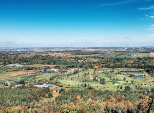
Hike the Mount Nemo Conservation Area Loop
5.01.6 miThis is probably one of my all-time favorite short hikes to do in Ontario during the fall. The hikes takes you to a breathtaking, panoramic view of the Niagara Escarpment that is blazed with fall colors. This family-friendly lookout trail should provide a very little challenge for older family me...Read more -
Kakabeka Falls, Ontario
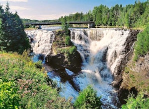
Explore Kakabeka Falls
3.00.5 miLocated a short distance from the entrance of Kakabeka Falls Provincial Park, Kakabeka Falls plunges 131 feet over sheer cliffs and is part of the Kaministiquia River. The gorge in which the falls cascade over host some of the oldest fossils in existence. The area was used centuries ago by Voyag...Read more -
Torrance, Ontario
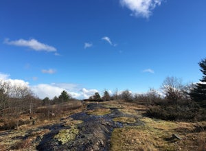
Hike the Torrance Barrens Main Trail
4.01.9 miThe Torrance Barrens is a great half day hike and a very unique spot in the Muskokas. Different landscape than the typical 'Muskoka woods and lakes', the barrens are mostly scraped back to the bedrock with less trees and more fen mats and low vegetation.The trail head has a great parking pad off ...Read more -
Unorganized Thunder Bay District, Ontario
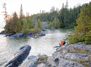
Backpack the Coastal Hiking Trail in Pukaskwa NP
4.05 miPukuskwa Canadian National Park is located near the town of Marathon in northern Ontario. The only road to access the park is at the north end near Hattie Cove. The park is home to the Coastal Hiking Trail as well as a paddling route and other various water activities. All trails are open May 1st...Read more -
Killarney, Ontario
Hike the Granite Ridge Trail
1.2 miThe Granite Ridge Trail is part of Killarney Provincial Park. In order to hike this trail you need to purchase a park permit. The trailhead is across the highway on the opposite side from the Killarney Provincial Park Office. It's well marked and you can park either outside the Park Office or cho...Read more -
Tobermory, Ontario
Hike the Bruce Peninsula to the Grotto
5.7 mi / 190.3 ft gainStart in the Little Cove parking lot where you'll hop on the Bruce Trail and follow the easy-to-spot trail markers. A map in the parking lot shows the distances and attractions along the trail. You will climb up rock trails and pass many amazing lookout points. Keep a sharp eye out for the wide v...Read more -
Algonquin Highlands, Ontario
Camp at Penn Lake
5.01.9 miOne of many camping options in the park is to start at Rock Lake Access Point #9, where you canoe through Rock Lake to the portage. This portage is just about 400 meters, which is not too far but it is quite a small route and slippery in areas.You can only reserve a lake, you cannot reserve a cam...Read more -
Rainy River, Unorganized, Ontario
Canoe the Sturgeon Lake Loop in Quetico Provincial Park
50 miQuetico Provincial Park, just north of Minnesota in southern Ontario, is the Canadian portion of the Boundary Waters Canoe Area Wilderness (BWCA). Truly a wilderness area, the 1.2 million acre park has no roads, few trails, and allows in just a tenth of the visitors that canoe the BWCA to the sou...Read more -
Unorganized Thunder Bay District, Ontario
Hike to the White River Suspension Bridge in Pukaswka National Park
11.2 miWe chose to day hike to the White River Suspension Bridge from our backcountry site at Playter Harbour, but for a challenging hike you could start from the Hattie Cove Visitor Center and go out and back in one day. Total round trip distance is 18 km or about 11 miles.The trail to the waterfall an...Read more -
Unorganized Thunder Bay District, Ontario
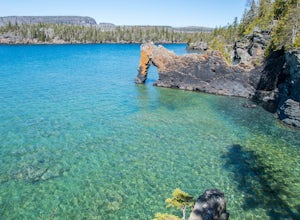
Hike to the Sea Lion of Sleeping Giant Provincial Park
5.01.3 mi / 0 ft gainPrior to the 1900s, this landmark a lion sitting on its haunches looking out to Perry Bay. The former shape of this natural arch inspired its name the Sea Lion. The lions head has fallen of but the name still continues. The softer sedimentary rock will continue to erode. The "arch" of the sea lio...Read more -
Nipissing, Unorganized, South Part, Ontario
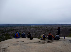
Hike Lookout Trail, Algonquin Provincial Park
5.01.2 mi / 200 ft gainJust off Hwy 60, the Lookout Trail parking lot is clearly marked. The trail is a fairly simple trip with a constant up-hill trail. Along the way there are many large bolders that will capture your attention. At the top of the cliff there is a wide viewing area clear of trees and brush to allow y...Read more -
Ayr, Ontario
Hike the Walter Bean Grand River Trail (Section 1-2)
4.04.3 mi / 100 ft gainStart by parking in the lot just off of Highway 42, and check out the trail map. There is a maintained trail perfect for biking or walking, or a forest trail for intermediate walkers. A good way to do this trail is start by heading to the waterfall, then back up and follow the forest trail north ...Read more -
Bracebridge, Ontario
Hike to Wilson's Falls
1.9 miWilson's Falls is a beautiful hiking trail located right in the heart of Muskoka. This trail provides many different access points for stunning views of the waterfalls. Most of the trail guides you along the river bank in unique forest terrain. If you're an adventure seeker, with summer's lower w...Read more -
Nipissing, Unorganized, South Part, Ontario
Backpack Highland Trail in Algonquin Provincial Park
21 miThis was my first experience in the Canadian backcountry and it was remarkable. Algonquin Provincial Park is beautiful with it's range of hardwood forest trees, lakes, and overall terrain. It's popular for portaging but it also has three official backpacking trails inside the park. (Unfortunat...Read more -
Ayr, Ontario
Walk along the Dumfies Road Trail
1.9 mi / 10 ft gainThis little trail is located right of of dumphries rd (parking lot is hidden in some trees, be sure not to miss it). This trail is easy to follow and easy to walk. In the trail you can enjoy the local chickadees and herons while over looking small lakes. The simple walk allows for a bit of relaxa...Read more -
Floradale, Ontario
Stroll the Lions Lake Trail
5.04.3 miOne of the many entrances to the Lions Lake Trail can be found at the Crystal View Mennonite Church (marked on the map). The trail loops the Woolwich Reservoir and passes through tall trees, the Woolwich Dam, and through a local sugar bush. On the north-east side of the lake you can choose to ta...Read more

