Parksville, British Columbia
Looking for the best photography in Parksville? We've got you covered with the top trails, trips, hiking, backpacking, camping and more around Parksville. The detailed guides, photos, and reviews are all submitted by the Outbound community.
Top Photography Spots in and near Parksville
-
Powell River, British Columbia
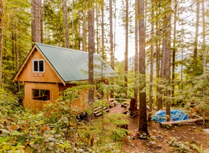
Backcountry Hike and Hut Camp the Northern Portion of the Sunshine Coast Trail
31.1 mi / 3937 ft gainThis adventure is a 50km backcountry hiking and camping trip and should not be attempted without prior backcountry experience. It is recommended you attempt this trail in a group. Below is a detailed description of how to get to the trail and your options for huts while on the trail:The Sunshin...Read more -
Egmont, British Columbia
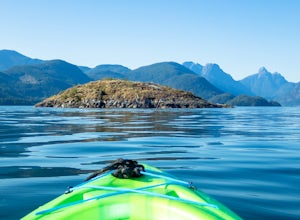
Kayak the Miller Islet
The coast of British Columbia defies description. It is a wonderland of natural treasures both living and geological, and the vast majority of it is only accessible by water or seaplane. The Miller Islet at the entrance to the glacier-carved Jervis Inlet is both a harbor seal and seabird colony a...Read more -
Comox, British Columbia
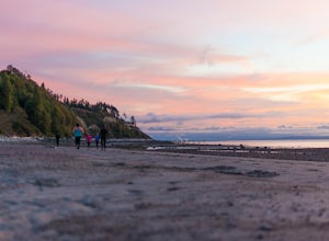
Run at Goose Spit Regional Park
5.0For a mid week adventure that is closer to home, nothing beats a climb up the stairs at Goose Spit Regional Park. The Goose Spit stairs are a fantastic addition to the Comox Valley's urban playgrounds, beaches, trails and green spaces. There are 165 steps to the main lookout, with an additional 2...Read more -
Courtenay, British Columbia
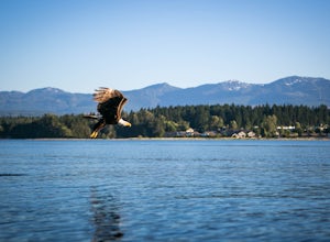
Paddle the Courtenay River Estuary
Mixing of sea and river waters at the Courtenay River Estuary means its an abundant place for wildlife. Coupled with incredible views of the Comox Glacier to the west, it's no wonder this is a popular spot to paddle in the small island town of Courtenay. Head over to Comox Valley Kayaks and Cano...Read more -
Cowichan Valley F, British Columbia
Camp at Nitinat Lake
Nitinat Lake is located about 70 km from Lake Cowichan on Vancouver Island. It's about a 2 h drive from Lake Cowichan with 1 h on logging roads. When you get close to Lake Cowichan, the highway splits into two possible routes, one on the south side of the lake, the second on the north side. Since...Read more -
Duncan, British Columbia
Hike Mount Prevost
3.06.5 mi / 2473.8 ft gainMt Prevost is a local favourite for hikers, mountain bikers and if you can believe even hang gliders. Most people know it for the large war memorial tower that is perched on the cliff edge, standing guard over the valley below.The big draw of Mt Prevost is easy access to a significant distance an...Read more -
Comox-Strathcona C, British Columbia
Hike Mount Becher
Trail access begins at the end of Forbidden Plateau Road, at the site of the old abandoned ski lodge. It is an ugly place to begin a hike to such a beautiful summit, but do not let that deter you. Past the trash of forest parties, around the remnants of the old ski lodge and over the washed out r...Read more -
West Vancouver, British Columbia
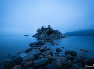
Explore WhyteCliff Park, West Vancouver
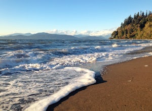
4.4Escape to the vanishing horizon of the Pacific Ocean, where time is measured by the rhythm of waves.Located near West Vancouver's Horseshoe Bay neighbourhood, Whytecliff Park is home to more than 200 marine animal species and is one of the first Marine Protected Areas in Canada. You're almost gua...Read more -
Comox-Strathcona C, British Columbia
Century Sam Lake
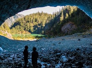
4.03.62 mi / 1342 ft gainThe next time you have the opportunity, I recommend you pay Century Sam Lake a visit. This short day hike complete with a spectacular emerald green lake, towering rock cliffs and summer snow caves make this a 'must do' for mid Island adventurers. This day hike is a well kept secret – and often...Read more -
West Vancouver, British Columbia
Explore Lighthouse Park
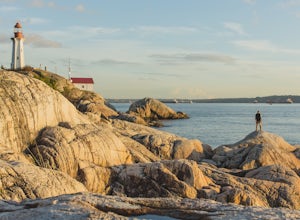
4.5To get to Lighthouse Park, head westbound along Marine Drive in West Vancouver. As Marine Drive continues past little shops and businesses, it will begin to narrow and the road will wind around the coastline. Continue past Caufield Cove Marina and watch for the Lighthouse Park sign on your left. ...Read more -
Vancouver, British Columbia
Explore Wreck Beach
4.0Located on UBC Vancouver campus, Wreck Beach is the only nude beach in Canada. It is a popular destination for students and the public, and is home to the best sunsets seen in Vancouver.To get to the beach, there is a descent of approximately 500 stairs, so be cautious - going down means having t...Read more -
Honeymoon Bay, British Columbia
Hike Castle Grove of the Upper Walbran River Valley
3.2 miThe opportunity to travel deep into a region where ancient forests still stand, telling their story of centuries past, can't be overlooked. One of the last remaining areas of such beauty and rarity still exists deep in the heart of the southern interior on Vancouver Island. This spot is known as ...Read more -
West Vancouver, British Columbia
Hike to Cypress Falls in West Vancouver
4.03.1 mi / 400 ft gainDrive the the end of Woodgreen Pl in West Vancouver, and you will pass the tennis courts on your right. You will see a little dirt road that heads up into the woods on your left - drive up this road ~30 feet into the parking lot. From the Parking lot, hike up the trail beside cypress creek (this ...Read more -
Black Creek, British Columbia
Camp at Seaview Game Farm and Paddle the Strait of Georgia
Seaview Game Farm, located on Vancouver Island between Courtenay and Campbell River is a prime jumping off point to paddle the Strait of Georgia and check out some of the best beaches the coast has to offer. Located right on the beachfront, Seaview offers camping at RV sites but, for the best ex...Read more -
Port Renfrew, British Columbia
Hiking through the Avatar Grove
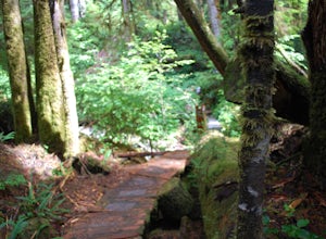
To get to the Avatar Grove, drive to Port Renfrew along West Coast highway 14. Turn right onto Deering Rd and cross the long bridge over the San Juan River. Stay right at the next Y intersection, and then left at the T intersection. At the next Y keep left and cross a tall bridge over the crys...Read more -
Alberni-Clayoquot C, British Columbia
Camp at Lower Lake
4.02.5 mi / 1640.4 ft gainLower Lake is a gorgeous alpine lake located on the Triple Peak Trail. The route to the lake is very steep and scrambling is involved, but is well worth the effort. When you come to the rise above the final ridge, the stunning Triple Peak and Lower Lake come into view.The hike starts down a very ...Read more

