Anmore, British Columbia
Looking for the best photography in Anmore? We've got you covered with the top trails, trips, hiking, backpacking, camping and more around Anmore. The detailed guides, photos, and reviews are all submitted by the Outbound community.
Top Photography Spots in and near Anmore
-
Maple Ridge, British Columbia
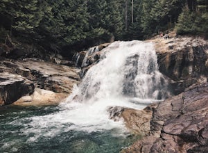
Hike to Lower Falls in Golden Ears Provincial Park
5.03.5 miLower Falls is found within Golden Ears Provincial Park in British Columbia. Easily accessible from the Gold Creek Parking lot, it is a relatively flat trail snaking along Gold Creek itself. It can be done as an out & back trail, or you can make it a loop by using the connector trail located ...Read more -
Maple Ridge, British Columbia
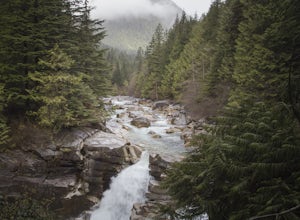
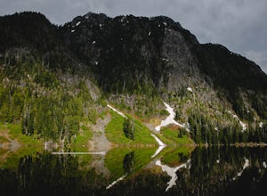
Hiking Upper Gold Creek Falls
4.5Once you arrive in Golden Ears Park, follow the road to the end and look for signs to the Gold Creek Day Area. The road will turn to gravel, and after you cross a small, one-line bridge, you will reach the parking lot.After you have parked, head north past the yellow gate, marked East Canyon Trai...Read more -
Surrey, British Columbia
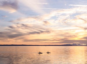
Catch a Sunset at Crescent Beach
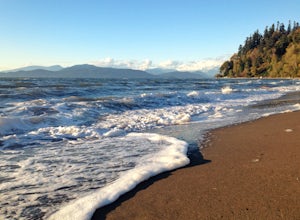
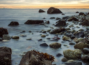
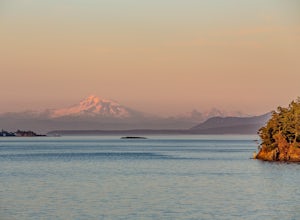
5.0Crescent beach is a great place to end your day, by taking some sunset pictures. It often lights up the sky and really pops with colour. It is best to park at the main parking lot near the pier and start from there. The beach walk from the pier to the end is just over a kilometre, so is very shor...Read more -
West Vancouver, British Columbia
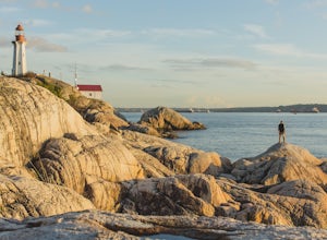
Explore Lighthouse Park
4.5To get to Lighthouse Park, head westbound along Marine Drive in West Vancouver. As Marine Drive continues past little shops and businesses, it will begin to narrow and the road will wind around the coastline. Continue past Caufield Cove Marina and watch for the Lighthouse Park sign on your left. ...Read more -
Vancouver, British Columbia
Explore Wreck Beach
4.0Located on UBC Vancouver campus, Wreck Beach is the only nude beach in Canada. It is a popular destination for students and the public, and is home to the best sunsets seen in Vancouver.To get to the beach, there is a descent of approximately 500 stairs, so be cautious - going down means having t...Read more -
Surrey, British Columbia
Walk the 1001 Steps Trail
2.00.3 miOne of Surrey's hidden gems, head down to this short trail down a set of stairs that will take you to an uninhabited beach.The zig zagged steps take you down to the Birlington Rail Lines and you can walk along a trail to an opening under the tracks. Head to the beach from here where you will like...Read more -
Surrey, British Columbia
Stroll through Redwood Park in Surrey, BC
3.01.2 miRedwood Park is large beautiful forested park in South Surrey. The park is a legacy of one of Surrey's early pioneer's, David Brown, who in 1893 gave the property to his twin sons, David and Peter. The Brown twins spent much of their life traveling the world collecting the seeds and saplings of e...Read more -
West Vancouver, British Columbia
Explore WhyteCliff Park, West Vancouver
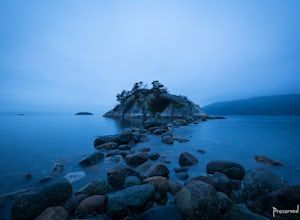
4.4Escape to the vanishing horizon of the Pacific Ocean, where time is measured by the rhythm of waves.Located near West Vancouver's Horseshoe Bay neighbourhood, Whytecliff Park is home to more than 200 marine animal species and is one of the first Marine Protected Areas in Canada. You're almost gua...Read more -
Lions Bay, British Columbia
Scramble to the Summit of the West Lion via the Binkert Trail
5.010 mi / 5400 ft gainFind parking in a small gravel lot and be careful to park to the left of the sign, as cars do get towed in this area. Cross through the yellow road gate and begin by ascending the gravel road that provides moderate switchbacks before reaching a junction with the Mount Harvey trail, and keep right...Read more -
Squamish-Lillooet D, British Columbia
Hike to Deeks Lake
3.07.5 mi / 3280.8 ft gainBegin the Deeks Lake trail at the Lions Bay parking lot (same entrance as the Howe Sound Crest Trail) just off of Highway 99 North. The pullout is right before Porteau Cove Provincial Park. Begin by walking past the yellow gate and taking an immediate right into the trail where you will begin y...Read more -
Delta, British Columbia
Take a Sunset Ride on the Tsawwassen-Swartz Bay Ferry
4.0You can walk on or take your car on the ferry. Either way gets you to the same views. Make sure you sit on the right side of the boat (and it sometimes turns around once leaving the dock). Set up on the upper deck, and prepare yourself for an unbelievable show. Make sure you check out the onboard...Read more -
Britannia Beach, British Columbia
Hike and Climb the Chief
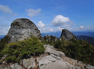
4.56.8 mi / 1968.5 ft gainIf you are hiking this spot, you can do so even as a beginner so long as you have a good fitness level. I’ve seen people do this in jeans and dress shoes, although they are crazy. Wear some hikers and prepare to get your sweat on. There are three peaks, first is the most popular, second has the b...Read more -
Squamish, British Columbia
Hike Al's Habrich Trail
3.07.4 mi / 3130 ft gainWe arrived at the Sea to Sky Gondola in the early morning and rode up to the top in the gondola to where the trailhead was. Once at the top there was a gift shop and a suspension bridge with a wooden viewing platform. The trail goes to the left of the complex down an old logging road. It is well ...Read more -
Squamish, British Columbia
Snowshoe Al's Habrich Trail
3.7 mi / 1312.3 ft gainStrap on your snowshoes and head up to the Sea to Sky Gondola in Squamish, about a 45 minute drive from Vancouver. You can either take the gondola up (~$40), or hike up the Sea to Sky Summit trail that begins near the parking lot to the chief to get to the trailhead for Al's Habrich. If doing the...Read more -
Sea to Sky Gondola, British Columbia
Scramble Sky Pilot
4.010 mi / 3800 ft gainSky Pilot Mountain is the highest peak past Stawamus Chief, Squamish's famous vertical rock face. Luckily, the rock just beyond the Chief is just as beautiful and reliable for climbers, hikers, and scramblers looking to stretch their legs and challenge their vertigo limits on an exposed, thrillin...Read more -
Squamish, British Columbia
Hike the First Peak of the Stawamus Chief
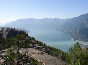
2.5 mi / 1600 ft gainJust a short drive up the Sea to Sky Highway is one of my favorite hikes near Vancouver. There are two options; the hike to first peak, or the hike to second and third peak. First Peak brings you to an epic view over Sqawmish, the Sea to Sky, and the Pacific Ocean. It is a perfect hike for those ...Read more

