Anmore, British Columbia
Looking for the best chillin in Anmore? We've got you covered with the top trails, trips, hiking, backpacking, camping and more around Anmore. The detailed guides, photos, and reviews are all submitted by the Outbound community.
Top Chillin Spots in and near Anmore
-
Anmore, British Columbia
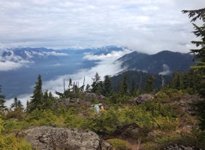
Backpack the Dilly Dally Loop
15.5 mi / 3800 ft gainThis hike begins near the parking lot of Buntzen Lake. The trailhead will read "Halvor Lunden Trail,” named after the man who made it. This part of the trail is well marked, however as you continue along the loop it gets less and less worn, making things more difficult, but also more natural.The ...Read more -
Anmore, British Columbia
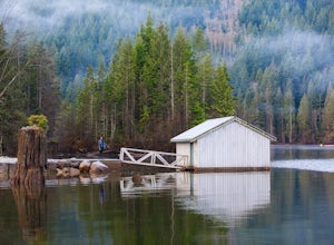
Hike Lake Buntzen
4.5Buntzen Lake is located in a beautiful recreation area just north of Port Moody. Although the lake is man-made and maintained by BC Hydro, the surrounding area is full of forests, nice beach areas, and many trails for hiking including the Buntzen Lake Trail, which loops around the lake.Beginning ...Read more -
Belcarra, British Columbia
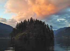
Hike the Jug Island Trail
4.7From the parking lot at Belcarra Regional Park, follow the Jug Island Trail. It is well marked and well walked so it's near impossible to wander off in the wrong direction! The beach near Jug Island is at the very tip of the peninsula and offers beautiful views of the Indian Arm and surrounding m...Read more -
North Vancouver, British Columbia
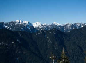
Snowshoe Dog Mountain
2.7 mi / 328.1 ft gainA perfect way to get outside before or after work. Dog mountain is an easily accessible snowshoe trail that takes you up to the short peak from the Mt. Seymour parking lot. This is a perfect spot for sunrise or sunset photography, and you can catch great 360 views from the top. Start at the BC Pa...Read more -
North Vancouver, British Columbia
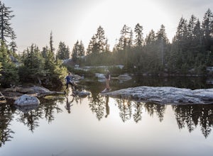
Hike to Mystery Lake
4.03.1 mi / 492.1 ft gainFrom the Mt. Seymour ski area parking lot, head towards the Mystery Peak Express. Once you have passed the base of the Mystery Peak Express, you will continue up the trail to your left (right goes to dog mountain, straight to the 3 peaks of Seymour). Follow the trail all the way up to the lake. T...Read more -
North Vancouver, British Columbia
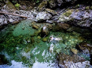
Swim at the Lynn Canyon Swimming Hole
4.50.6 mi / 50 ft gainFrom the last field at inter city park, continue walking down the road to the Lynn Canyon trail. Follow the trail up the wooden boardwalks and to the first open area on the trail. When you can see the creek to your left, head down to the creek. To get to this particular swimming hole, you will ha...Read more -
North Vancouver, British Columbia
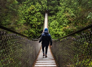
Explore the Lynn Canyon Suspension Bridge
4.4Lynn Canyon Suspension Bridge spans Lynn Canyon and is located near the popular Lynn Headwaters Park. To get there, exit the Trans Canada Highway onto Lynn Valley Road. Shortly after passing through the centre of the Lynn Valley community, turn right onto Peters Rd. This road will turn into "P...Read more -
North Vancouver, British Columbia
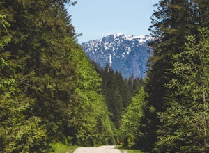
Bike the Seymour Valley Trailway & Old Growth Trail
12.4 mi / 328.1 ft gainHead over to the Lower Seymour Conservation Reserve and hop on your two-wheeler to enjoy this stunning 20k ride. Your ride will begin at the trailhead, where hikers walk off to rice lake. Stay off to the right, where there is an obvious bike path (2 paved lanes). This trail will take you ~11kms ...Read more -
Delta, British Columbia
Hiking through Burns Bog Delta Nature Reserve
1.9 miAs you begin your journey into Burns Bog Delta Nature Reserve from the parking lot and small trail coming off of Westview Drive, notice the gravel trail ahead of you and across the train tracks that will take you into the bog itself and take a left. After spending a few minutes on the straight tr...Read more -
Vancouver, British Columbia
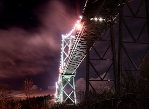
Photograph the Lions Gate Bridge
3.7Park at the parking lot at Prospect point in Stanley Park to begin your photography adventure. The first photo opp is from the walkway on the Lions Gate, at about the middle of the bridge and looking to the left towards the Seawall. This is the perfect sunset spot.Once it gets dark, head to the b...Read more -
Vancouver, British Columbia
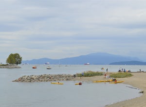
Sunset Beach Park
4.0This is a great place for families to relax at. You can kayak or paddle the calm water. There is a paved path running along the beach that is great for jogging, biking, and dog walking. Benches line the park and beach, making it easy to take breaks when needed. This is also where a lot of ferr...Read more -
Maple Ridge, British Columbia
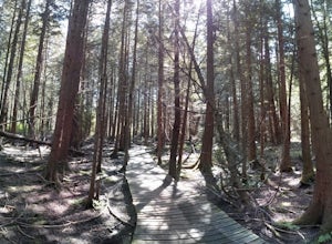
Stroll along the Spirea Nature Trail
3.01.5 mi / 0 ft gainAn hour outside of downtown Vancouver lies the beautiful 150,000 acre Provincial Park of Golden Ears. The park has a myriad of hikes and adventures all with varying degrees of difficulty. The Spirea Nature Trail likely clocks in as one easiest amongst the dozens within the park. However, don’t le...Read more -
West Vancouver, British Columbia
Snowshoe to St. Mark's Summit
1.08 mi / 1500 ft gainIf you are looking for the perfect snowshoe adventure you've found the right place. St. Marks is located on Cypress Mountain. It is more difficult than the nearby Hollyburn, and sometimes inaccessible due to heavy snow. For those two reasons makes it the most secluded hike just minutes from downt...Read more -
Bowen Island, British Columbia
Snowshoe to Black Mountain and Eagle Bluffs
5.6 mi / 1312.3 ft gainEagle Bluffs is a perfect hike for anyone looking to get away but not too far from the city! Your trip will start by grabbing your (free) backcountry pass from the Black Mountain lodge in the lower parking lot at the top of cypress bowl road. This is not the main lodge (Cypress Creek Lodge), but ...Read more -
Surrey, British Columbia
Hike the Elgin Heritage Park Nature Trail
4.02 miHead over to this magical little park by the water. The forested area between the 2 entrances to the park has many large trees often used by eagles and hawks to survey the surrounding area for prey. The habitat functions of the marsh significantly contribute to the ecological value of the lower N...Read more -
Maple Ridge, British Columbia
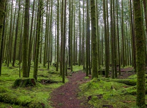
Camp in Golden Ears Provincial Park
11.2 mi / 3937 ft gainBackcountry permits are required to camp on Panorama Ridge ($5) and can be paid online.The trailhead is located at the West Canyon Parking lot. The trail starts out on a relatively flat old logging road. The trail slowly gains elevation over three kilometers taking you through thick green forest ...Read more

