Banff National Park, Alberta
Looking for the best photography in Banff National Park? We've got you covered with the top trails, trips, hiking, backpacking, camping and more around Banff National Park. The detailed guides, photos, and reviews are all submitted by the Outbound community.
Top Photography Spots in and near Banff National Park
-
Improvement District No. 9, Alberta
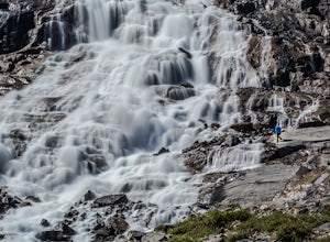
Hike to Bow Glacier Falls
5.05.6 mi / 508.5 ft gainThe trailhead begins directly behind the Num-Ti-Jah Lodge on km 37 of the Icefields Highway. The trail is well marked and winds along the shore of Bow Lake for the first 1.2km of the hike. Eventually you will lead up to a narrow gorge and onto the crest of a glacial moraine. There are only a few...Read more -
Field, British Columbia
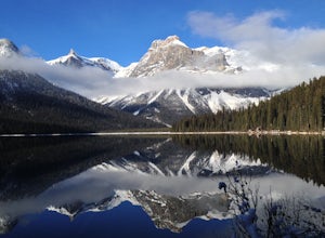
Hike the Emerald Lake Circuit
5.03.2 miEmerald Lake is without a doubt one of the most beautiful lakes in the Canadian Rockies and is the jewel (see what I did there...) of Yoho National Park. The circuit surrounding the lake allows great opportunities for pictures and views from all sides.Getting there: Just west of Field, BC turn of...Read more -
Columbia-Shuswap A, British Columbia
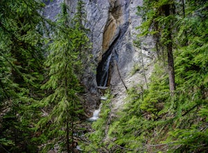
Hike to Hamilton Falls, Yoho NP
4.01.76 mi / 474 ft gainHamilton Falls trail sign is across the parking lot from Emerald Lake and points you in the direction of the trail. The trail will start with a gentle incline which immediately places you into a lush forest as the noise of tourism begins to fade. Approximately 0.4 miles up the trail, you will rea...Read more -
Banff, Alberta
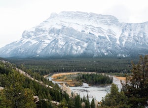
Hike to the Hoodoos, Banff
5.03 mi / 295.3 ft gainThe beginning of this hike is easily accessed from the town center of Banff by the Bow river. Perfect for those without a car! Follow the trail on the side closest to town as it leads up the Bow River and into the forest following the signs for Hoodoos Loop.The hike is 4.8km one way, leading arou...Read more -
Field, British Columbia
Explore the Natural Bridge in Yoho NP
4.5Whether you are traveling north or south on the Trans-Canada Highway in Yoho National Park you will see a sign that directs you west to travel on Emerald Lake Road. When you turn west you will travel about one mile, or 1.6 km, and then you will see the parking area for the Natural Bridge. After p...Read more -
Edgewater, Alberta
Ski Sunshine Village
5.0Do you like skiing wide open slopes of light, fluffy powder? How about staring off at massive, jagged peaks while you do it? Then do I have the resort for you… Sunshine Village in the heart of Banff National Park offers something for everyone on the slopes. There are ample wide open groomers for ...Read more -
Improvement District No. 9, Alberta
Hike to Healy Pass
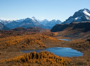
7.5 mi / 2198.2 ft gainHead up to Healy Pass in late September or early October to check out the beautiful larch trees in their golden glory. Sunshine Meadows, Assiniboine, and other amazing views can be seen from the top of this easy trail. Start your adventure in the Sunshine Village ski resort parking lot. Head behi...Read more -
Improvement District No. 9, Alberta
Sunshine Village Gondola and Standish Quad Chairlift Hike
6.2 mi / 902.2 ft gainIf you're looking for an adventure in the Banff area that's not as crowded as the main tourist attractions but offers as spectacular of views, check this gem out. Make sure to check hours of operation before going, gondola/ ski lift are not always running. Ride the gondola all the way to the to...Read more -
Banff, Alberta
Mount Assiniboine: Sunshine Village to Mount Shark
5.036.37 mi / 5869 ft gainThis trek specifically covers the distance from Sunshine Village to Mount Shark. You will need a car at Mt. Shark, as there are no shuttles from that location to Canomre or any local areas. Otherwise, you can try to hitch a ride back – your best bet is to talk with some locals or visit the Canmor...Read more -
Improvement District No. 9, Alberta
Hike to the Hermit of Inglismaldie
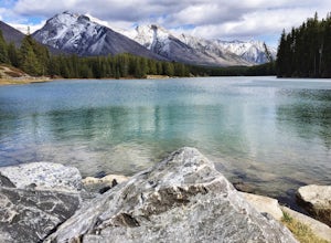
4.02 mi / 34 ft gainAs you drive towards Johnson Lake, the road will end at a parking lot where you should park. There are restrooms and picnic tables located in this same area. Due to the low elevation, the trail around Johnson Lake is a gentle walk, but trail conditions should always be checked especially during ...Read more -
Improvement District No. 9, Alberta
Snowshoe to Johnson Lake
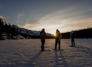
2 miThis is a well-traveled hike, so if you stay on the path, you'll likely need only a good pair of boots. However, in the middle of winter, the lake freezes solid, and you might enjoy exploring a little out on the frozen lake like we did. Snowshoes definitely came in handy out there.This is a very ...Read more -
Banff, Alberta
Dawn to Dusk in Banff National Park
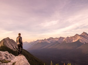
5.06.8 miThis is a micro adventure in one of the world’s most desired National Parks. The common excuse for those who tend to skip the great outdoors is lack of time. This one day adventure is an example that you can cram a lot into a day! Dawn: Sunrise hike up to South Ridge in Banff. Start at the famous...Read more -
East Kootenay G, British Columbia
Hike The Floe Lake Trail
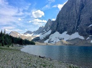
13 mi / 2350 ft gainKootenay National Park is one of the lesser visited parks in a chain of spectacular parks in the Canadian Rockies between Banff and Jasper. Straddling the Trans-Canadian Highway, the park offers hot springs, awesome mountain views, and glaciers. As you enter the park, keep an eye out for the griz...Read more -
Parson, British Columbia
Hike to Wapta Falls, Yoho National Park
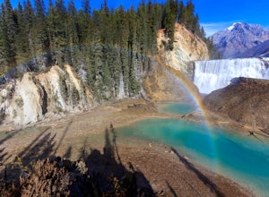
5.02.4 mi / 180 ft gainThis short 1.2 mile hike leads you through a relatively level forest to a spot on the Kicking Horse River where the water crashes off a river-wide cliff, producing almost a guaranteed rainbow at the bottom. The trail starts at the Wapta Falls Trailhead, which is a short drive off the Trans Canadi...Read more -
Bighorn No. 8, Alberta
Scramble Up Black Rock Mountain
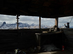
4.0Fortunately, or unfortunately depending on your point of view, getting to/finding the trailhead is the most difficult part of this hike! On top of Black Rock Mountain is an abandoned fire lookout that was utilized from 1928 to 1950. Through all those years, the lookout was supplied by pack horses...Read more -
Canmore, Alberta
Hike to Grassi Lake
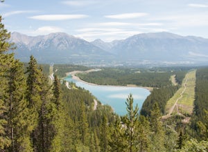
4.52.4 mi / 820.2 ft gainTo get to the Grassi Lake trailhead, continue past the Nordic Center about 2km and take a small left when you reach a junction between a gravel road and a paved road. You want to be on the paved road, as this will lead you down to the Grassi Lake parking lot. The trail starts right behind the res...Read more

