Banff National Park, Alberta
Looking for the best photography in Banff National Park? We've got you covered with the top trails, trips, hiking, backpacking, camping and more around Banff National Park. The detailed guides, photos, and reviews are all submitted by the Outbound community.
Top Photography Spots in and near Banff National Park
-
Kananaskis, Alberta
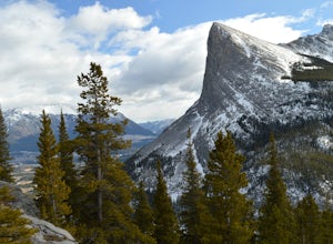
East End of Rundle Scramble
4.44.7 mi / 2880 ft gainThis well marked, fun hike that has a bit of everything, from easy forest walking, to steep slabs, minor hands on scrambling, and a scree slope to the summit.From the parking lot, head north up the hill, where the trail begins around the power poles. There a few different paths to start, so it's ...Read more -
Canmore, Alberta
Ha Ling Sunrise Hike
4.15 mi / 2296.6 ft gainStart at the Goat Creek parking lot and cross the road towards Ha Ling. There is an access road with a gate on the other side. Walk up the road and across the bridge. From there the trail is obvious and will lead you to the summit. Overall it's a fairly easy hike with switchbacksOnce above tree l...Read more -
Canmore, Alberta
Mount Lady Macdonald Scramble in Winter
3.5The Mount Lady Macdonald trail begins at Cougar Creek, starting out as a leg burner through the forest, then meandering through boulders, halfway up. The boulders, sparse forest, and views of the Bow River Valley make for a classic mountain landscape that isn't always offered by forested walks to...Read more -
Canmore, Alberta
Hike Grotto Mountain
7.5 mi / 4429.1 ft gainFrom Highway 1A take the exit to the Alpine Club of Canada. Park near the woodpile as the actual parking lot is for Alpine Club customers. The trailhead about 30 metres up the road from the woodpile.The start of the trail is fairly relaxed but it quickly becomes a steep uphill battle. There are t...Read more -
Edgewater, British Columbia
Hike to Nub Peak
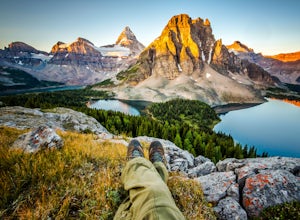
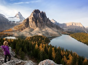
5.07.3 mi / 2789 ft gainStarting right at Mt. Assiniboine Lodge, there is very clear signage for this hike. The arrows will lead you over a wooden walkway right before you begin a gentle assent through the woods,gaining elevation the further you go, and then arrive at The Nublet which is before the peak. The Nublet has ...Read more -
Edgewater, British Columbia
Explore Mount Assiniboine Provincial Park
5.0Mount Assiniboine Provincial Park is a UNESCO World Heritage Site sequestered 27 km from the nearest road. We took a helicopter in, and hiked out . You can also hike both ways, but the hiking once you are there is more amazing than on the way in. You can also ski in on backcountry skis in the Win...Read more -
Kananaskis, Alberta
Snowshoe to Old Goat Glacier
6.2 mi / 2296.6 ft gainThe trialhead is found on West Side Road on the west side of Spray Lakes Resevoir. In winter, West Side Road is closed to vehicles due to dogsled tours, but is still open to walking - it's a pretty neat experience to get passed by a dozen sled dog teams. Since the road is closed, it adds an extra...Read more -
Canmore, Alberta
Trail Run on the Wind Ridge-Bow Valley
8.4 miWind Ridge is a 7,217 ft / 2,200 m mountain peak near Canmore, Alberta, Canada, with spectacular views into the Bow Valley. The trail is primarily used for hiking and is accessible from May until November.Take the Spray Lakes Road from the town of Canmore for 22km. The trail head is just below th...Read more -
Bighorn No. 8, Alberta
Icewalk in Grotto Canyon
3.5To get to the trailhead, take Highway 1 and take the Seebe exit (Highway 1X). Continue north on Highway 1X and take a left at Highway 1A. A few kilometres after the town of Exshaw, turn into the parking lot marked by the Grotto Pond sign.The trailhead is well marked and follow the trail until the...Read more -
51.064574,-115.203550
Hike Grotto Creek
3.7 mi / 410.1 ft gainThis is a great hike that could be a quick 2 hour sprint or stretch into a full day affair. The trailhead is located just off Highway 1A at a fishing pond with outhouses and ample parking. The trail is well signed and in a quick kilometre, hikers will be at the actual creek bed. In summer, hike...Read more -
Clearwater County, Alberta
Ice climb Two O'Clock Falls
Park at the "Siffleur Falls Trail Staging Area" parking lot on the east side of the highway. From there you will need to carefully cross the highway to the West side. The waterfall is visible from the highway. There is a gated road that you will walk up. The land on the West side of the highway ...Read more -
Kananaskis, Alberta
Hike up Windtower Mountain
5.06.2 mi / 3182.4 ft gainSpray Lakes is one of my favorite areas in Kananaskis, and the view of Spray Lakes from the summit is absolutely breathtaking.The trailhead is located along the Smith-Dorrien Trail (Spray Lakes Road) – look for a yellow sign on the eastern side of the road, about 1 mile (1.5 km) south of the Drif...Read more -
Bighorn No. 8, Alberta
Summit Door Jamb Mountain and Loder Peak
4.0If you're looking for views, vistas, and great scrambles in the Rockies, this is a great place to start. For any geology enthusiast, furthermore, this hike cannot be missed, offering great opportunities to search for some seriously ancient fossils.The trail begins on the west side of the parking ...Read more -
Bighorn No. 8, Alberta
Hiking Jura Creek
5.0From the parking lot find the trail head that leads away from the highway. This is an easy, but very interesting hike that will take you through a winding slot canyon.Take your time and explore all the various options, there are small waterfalls, and if you're feeling really adventurous you can c...Read more -
Bighorn No. 8, Alberta
Heart Mountain and Grant MacEwan Scramble
2.0A bit of a jaunt is required to get to the start of the scramble - follow the Heart Creek Trail, and after crossing the creek, look for a yellow sign that marks the scramble route. There will be exposure as well as use of hands, but it is totally do-able as long as you keep your head right!After ...Read more -
Clearwater County, Alberta
Hiking Mt. Ernest Ross
3.0Clearly visible from the highway, the Twin Peaks of Ernest Ross get their namesake from the man who first drove a 1930 Ford Roadster between Rocky Mountain House and Saskatchewan River Crossing.After a 5 minute walk along the north bank of Bridge Creek, the hike begins to pick up elevation. A str...Read more

