Zirl, Austria
Looking for the best hiking in Zirl? We've got you covered with the top trails, trips, hiking, backpacking, camping and more around Zirl. The detailed guides, photos, and reviews are all submitted by the Outbound community.
Top Hiking Spots in and near Zirl
-
Gschnitz, Austria
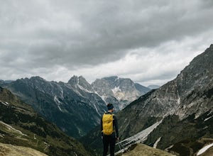
Hike to the Tribulaunhütte in Gschnitztal
7.5 mi / 2575.5 ft gainThe Tribulaun Hütte mountain hut in the Gschnitztal is one of the easiest mountain huts to reach in the area. Leave your car (or take the Post Bus) to the end of the Gschnitztal valley. Just past the car park, the trail up to the Tribulaun hut begins. The trail starts as a wide gravel road that s...Read more -
Neustift im Stubaital, Austria
Hike to the Suzlenau Hut in the Stubai Valley
9.3 mi / 2168.6 ft gainThe Sulzenau Hut is a popular destination for hikers in the Stubai Valley in Tirol. There are a few different routes to approach the hut, but for this adventure, we took the route that follows the WildWater Trail (WilderWasser Weg). We started this route from the Grawa Alm at the foot of the Graw...Read more -
Neustift im Stubaital, Austria
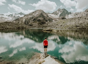
Hike to the Mutterberger See Lake in Stubai
5.3 mi / 2624.7 ft gainThe hike starts from the bottom of the Gamsgarten cable car lift station at the Stubai Glacier, so it's best to park in the highest car park. (Most cars park at the lower Eisgrat cable car so the upper car park should be fairly quiet). If you're arriving by bus, this is the very last bus stop on ...Read more -
Mutterbergalm, Austria
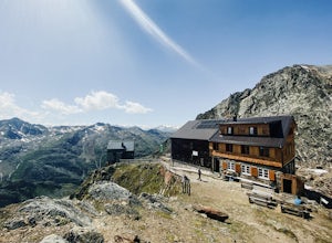
Hike to the Hildersheimer Hut on the Stubai Glacier
2.1 mi / 721.8 ft gainThis short hike is a great mini tour when you want to get up high without a whole lot of effort but enjoy some stunning glacier views. The hike to the Hildersheimer Hut is a high altitude tour on the Stubai glacier, that if done during the summer months from the top station of the Schaufeljochbah...Read more -
Neustift im Stubaital, Austria
Stubai High Trail Section 4 - Hike from the Sulzenau Hut to the Dresdener Hut
2.5 mi / 1640.4 ft gainWe spent the night before this hike at the Sulzenau hut, and woke up early to watch the sunrise over the glacier, which I highly recommend. From the Sulzenau hut, follow the trail as it rises gradually up the valley floor towards the Sulzenau Ferner Glacier. On the route you'll follow a gushing s...Read more -
Obernberg am Brenner, Austria
Hike to the Lichtersee Lake
8.6 mi / 2198.2 ft gainPark at the large car park (paid parking) for the main Obernberg lake, but instead of following the trail to the lake, take the road on the right towards Haus Waldbauer. At the end of the paved road, a gravel road bends off to the right. Follow this gravel road as it leads you uphill and back al...Read more -
Kochel am See, Germany
Hike the Heimgarten/Herzogstand Trail
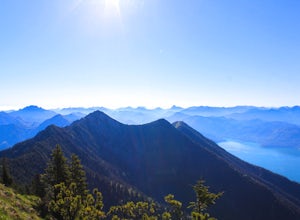
5.09.3 mi / 4055.1 ft gainThe Heimgarten/Herzogstand trail is a famous one and there's a reason why: a great hike with outstanding views! Its close vicinity to the Kochelsee and Walchensee only make it even more attractive, since you can cool off with a swim in one of the lakes if you're done hiking and enjoying the views...Read more -
Stans, Austria
Hike the Wolfsklamm Canyon
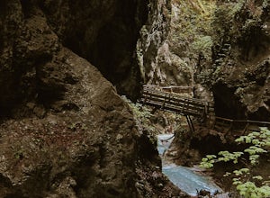
3.7 mi / 1148.3 ft gainThe Wolfsklamm is a narrow and rocky canyon just outside the village of Stans in Tirol, just 20 minutes from the city of Innsbruck. There are a few free parking areas in the village with signposts to the start of the trail up the canyon. I've marked the one we used as the trailhead for this hike....Read more -
Schwaz, Austria
Hike to Olpererhütte in the Austrian Alps
4.04 mi / 1969 ft gainAustria’s Zillertal Valley is a spectacular region of the Alps offering a plethora of hiking options. Locals as well as tourism hosts overwhelmingly recommended Olpererhütte! From Mayrhofen, a public transit bus delivers hikers directly to the trailhead. Mayrhofen is a great village to use as hom...Read more -
Gemeinde Reutte, Austria
Hike along Highline179
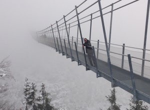
1.2 mi / 400 ft gainHike to this amazing 376 foot high suspension bridge that spans 1329 feet across the a valley in the beautiful mountainous Tyrol region of the Austrian Alps. The bridge spans the B179 highway, connecting the old Roman Fort Claudia and the 700 year old Ehrenberg castle. This hike is breath taking ...Read more -
Schwangau, Germany
Hike up Pöllartschlucht to the Best Views of Schloss Neuschwanstein
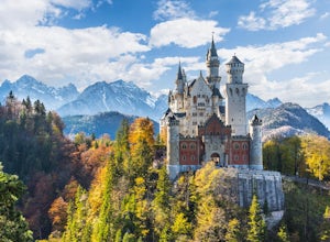
5.01.2 mi / 656.2 ft gainStarting at the Castle of Neuschwanstein, you will hike up the Pöllartschlucht (it's a ravine with a creek) until the first big waterfall. You then go up a really steep mountainside fully overgrown with all kind of plants and trees. Hiking up the Pöllartschlucht is easy as you can follow a broad ...Read more -
Landeck, Austria
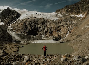
Hike to the Gepatschferner Glacier Tongue
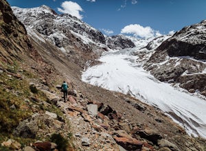
4.2 mi / 1640.4 ft gainOnce you pass the toll station for the Kauntertal Glacier Road, you keep following the road past the reservoir and up to the waterfall and climbing garden. This is where you park the car and start the hike, following the signs for route 902 to the Rauhekopfhütte.For the first hour, your are mostl...Read more -
Bad Hindelang, Germany
Hike up to Lake Schrecksee
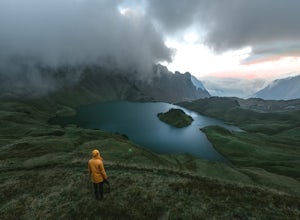
5.010.6 mi / 4160.1 ft gainLake Schrecksee lies squeezed in the Bavarian Alps and is well signposted from the trailhead. Especially during summer this location is popular as a swim in the alpine lake will cool you off!To get there drive towards Hinterstein in the Allgaeu region. Follow the small main street until there is ...Read more -
Oberkrimml, Austria
Hike to Krimml Waterfalls
2.6 mi / 1414 ft gainThe Krimml Waterfalls are situated in the Hohe Tauern National Park in the Salzburg region of Austria. At 380m high, they are the highest waterfalls not just of Austria, but in all of Europe. In the village of Krimml, near base of the waterfall you'll find a number of parking areas and the Wasser...Read more -
Bayrischzell, Germany
Hike the Wendelstein Panorama Trail
6.5 mi / 3543.3 ft gainThis adventure starts from the Munich Hbf. Catch an early morning 1.5 hour BoB ( Bayerische Oberlandbahn) train to Osterhofen (Oberbay.) Get on the train marked Tegernsee, but be careful, the train splits into 3 parts, so make sure you're on the car that goes to Osterhofen. It's usually the last ...Read more -
Sankt Anton am Arlberg, Austria
Maienweg Trail to St Christoph
3.85 mi / 1818 ft gainThis demanding, but scenic route ascends from St Anton to St Christoph. Begin in town, following the trail under the Galzigbahn to the Sennhütte. From here, the trail is a bit more gradual as it traverses the valley. Eventually, you'll take a sharp right turn and climb sharply up many switchbacks...Read more

