Victoria
Looking for the best photography in Victoria? We've got you covered with the top trails, trips, hiking, backpacking, camping and more around Victoria. The detailed guides, photos, and reviews are all submitted by the Outbound community.
Top Photography Spots in and near Victoria
-
East Warburton, Victoria
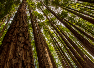
Explore Warburton's Sequoia Forest
4.8These particular Californian Redwoods were planted in 1930 after the clearing of a eucalypt forest. The redwoods range from 20 to 55 meters high and is a popular location for photographers due to the leading lines the massive tree provide. Use a tripod and a wide angle lens to show the size of th...Read more -
Beech Forest, Victoria
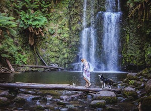
Explore Beauchamp Falls on the Great Ocean Road
0.5 miLocated between Apollo Bay and the 12 Apostles in Beech Forest, hidden behind a dense array of ferns, is a temperate rainforest. Containing a high biodiversity and homing many of Australia’s unique flora and fauna, the Otways National Park. Beauchamp Falls offers free dog friendly camping making...Read more -
Beech Forest, Victoria
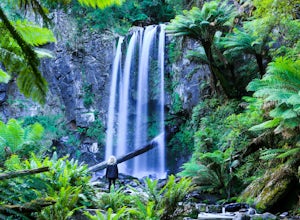
Explore Hopetoun Falls on the Great Ocean Road, Australia
4.0Hopetoun Falls has around 200 stairs descending into the lush rainforest to reach Hopetoun Falls, it may seem like a daunting idea and one that could also be rough on the old’ knees. It is worth the struggle though just so you can witness this 30 metre fall of ice-cold water into the Aire River....Read more -
Port Melbourne, Victoria
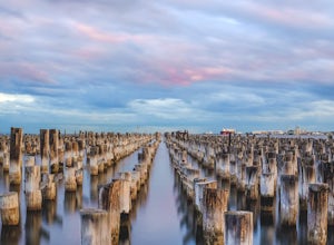
Photograph Princes Pier
3.0Princes Pier was originally completed in 1915 and served as a major arrival point for new migrants until the late 60's. Despite the pier being closed to the public in the 90's, it caught fire 14 times in the three years between 2001 and 2004. The first 196m of Princes Pier were restored in 2006, ...Read more -
Harrietville, Victoria
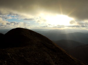
Summit Mt. Feathertop
5.013.7 mi / 4921.3 ft gainMt Feathertop is an iconic peak within the Victorian Alps. At the summit, spectacular 360 degree mountain views await as you stand over 1500m above the valleys below. There are two main access routes to the summit of Mt. Feathertop, Razorback Ridge from Mt. Hotham or the Bungalow Spur Track from ...Read more -
Iguana Creek, Victoria
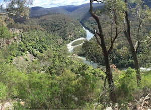
Backpack Mitchell River
5.023.6 mi / 4986.9 ft gainThe thing I loved the most about this hike is how isolated it was. It may have been the time of year, but in the spring I saw no one else on the trail for two days, though I did see snakes, monitors, kangaroos, wallabies, wombats, and many birds. Given it was springtime, the forest was full of wi...Read more -
Hamilton, Victoria
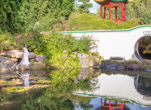
Explore the Hamilton Botanical Gardens
5.0The Hamilton Gardens is a massive property right along the Waikato River which runs through the city. The focus of the gardens is to replicate the historical gardens of specific civilizations around the world.Parking is very easy as there is a massive lawn in front of the entrance and there is no...Read more -
Woolamai, Victoria
Bike the Bass Coast Rail Trail
5.028.6 mi / 820.2 ft gainMany people complete the trail by beginning and ending in Wonthaggi. We decided to do the opposite and start in Woolamai, just a 90 minutes drive from Melbourne.Park the car on the side of Woolamai Road, unload the bikes and jump straight on the trail heading south-east. You'll begin by passing d...Read more -
Rye, Victoria
Photograph Lizard Head Point at Sunrise
0.3 mi / 820.2 ft gainVictoria's Mornington Peninsula is a stunning example of one of Australia's many rugged coastlines, dotted with rock formations, pristine sand beaches & epic waves. Lizard Head Rock is a unique formation rising out of the ocean which is especially beautiful at sunrise. The "hike" is really j...Read more -
Glenisla, Victoria
Backpack to The Fortress and Mt Thackeray
4.017.4 mi / 3937 ft gainIn the summer, this hike can be extremely dry, so make sure to bring lots of water. There are some creeks that offer water, but they can be mere trickles at certain times of year (as we found out!). The first day of the hike is 6km. To start, head to the south section of the car park and follow t...Read more

