Cornucopia, Wisconsin
Looking for the best photography in Cornucopia? We've got you covered with the top trails, trips, hiking, backpacking, camping and more around Cornucopia. The detailed guides, photos, and reviews are all submitted by the Outbound community.
Top Photography Spots in and near Cornucopia
-
Saxon, Wisconsin
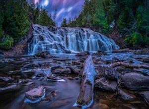
Lower Potato Falls
3.60.48 mi / 207 ft gainComing into the park off Hwy 169 in Gurney, WI, you will turn West onto Falls Rd. It is a gravel road that ends at a circular parking lot, complete with a pit toilet, picnic area, viewing areas, and trailheads. Starting at the trailhead labeled "Lower Potato Falls", you will descend a couple hun...Read more -
Saxon, Wisconsin
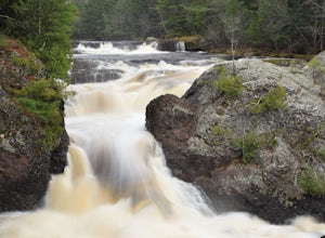
Upper Potato Falls
0.28 mi / 85 ft gainYou will turn off of Hwy 169 onto a gravel road, follow the road all the way to the end for the trail head. Please drive respectfully as people live on this road. Once you park, you will see multiple trails down to the river. Find the sign for Upper Falls and head that way. After .3 miles you wil...Read more -
Finland, Minnesota
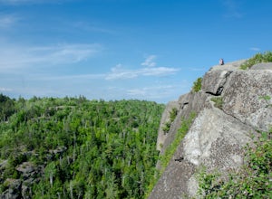
Hike to the Superior Hiking Trail's Section 13
4.02 mi / 450 ft gainGetting there:From Duluth, follow Highway 61 until you reach mile marker 65 -- shortly after this you will turn left on Lake County Road 6. Continue for just over 2 miles and the trailhead parking lot will be on your right. There is a sign with mileage to nearby backpacking campsites if you want ...Read more -
Finland, Minnesota
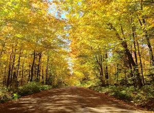
Drive Superior National Forest's Fall Color Route
5.0Every Autumn, Superior National Forest in northern Minnesota designates some of it's best roads as official Fall Color Routes. These roads go deep into the forest, far from towns and cell phone reception to show off the best Minnesota has to offer. Peak season is short, only a week or two sometim...Read more -
Mellen, Wisconsin
Hike to Copper Falls
4.62 mi / 85 ft gainComing into the park on Hwy 169, you will turn west/northwest into the park entrance. After passing the Ranger's Station you will follow the road (passing camp areas and showers along the way) all the way to the main parking lot near a concessions building. *The handicap parking lot is a little f...Read more -
Mellen, Wisconsin
Hike to Red Granite Falls
2.5 mi / 100 ft gainStarting at the parking lot for Loon Lake, follow the signs for Red Granite Falls across a grassed yard and into the woods. The trail is a wide, well-maintained gravel trail that creates a figure-eight loop as it crosses itself twice. Halfway along the trail (regardless of which loop direction yo...Read more -
Saxon, Wisconsin
Hike to Saxon Falls
0.5 miAn unusual hike to see the falls, Saxon Falls sits next to a flowage station. On foot, follow the short, wooded hiking trail to the east of the parking area, which leads to the overlook location. For better viewing, continue down the path. The falls sports one of the deepest gorges in the region....Read more -
Silver Bay, Minnesota
Hike to Caribou Falls
5.01 miCaribou Falls is a true hidden gem located along the Superior Hiking trail on Minnesota's North Shore. To access the falls, begin at the Caribou Falls State Wayside rest, off of Highway 61 just north of Little Marais. The trailhead is marked on the Superior Hiking Trail sign in the parking lot. ...Read more -
Silver Bay, Minnesota
Camp at George H. Manitou Crosby State Park
5.0George H. Crosby Manitou State Park is a lesser known park along Minnesota's North Shore. There are only backcountry sites, and it's not conveniently along the scenic road, so you really have to plan on going here. This makes it quiet, peaceful, and absolutely perfect for someone looking for a li...Read more -
South Range, Wisconsin
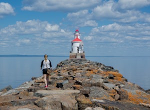
Explore Wisconsin Point
5.0If you’re in the Twin Ports area, (Duluth, MN and Superior, WI) be sure to check out Wisconsin Point. This peninsula is about 3 miles long and has several great spots to relax on the sandy beach (or swim in the chilly waters of Lake Superior). At the end of the peninsula is the Wisconsin Point Li...Read more -
Duluth, Minnesota
Chester Creek Trail
4.52.13 mi / 282 ft gainChester Creek is a prime example of how Duluth, MN values the many green spaces within its borders. The trailhead to Chester Creek is easy to find. Right on the corner of 14th ave east and 4th st, across from Burrito Union. For those of you without another form of transportation, there is a bus ...Read more -
Duluth, Minnesota
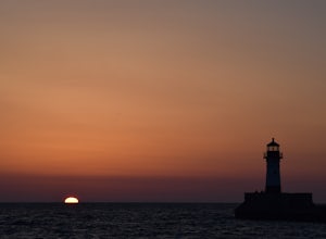
Catch a Sunrise at Canal Park
5.0Quick and easy parking right on the north side of the northern break wall. It could be a few hundred foot walk if you want to walk out the entirety of the break wall.Read more -
Schroeder, Minnesota
Explore the Temperance River Gorge
5.0Temperance River State Park is located near Schroeder, and parking can be found alongside Highway 61 for easy access to the trail following the riverbed. There are two main falls that shape the gorges -- one just north of the highway and the other below the footbridge that is just south of the hi...Read more -
Schroeder, Minnesota
Hike to Carlton Peak
4.06.2 mi / 325 ft gainOne of the trailheads for this hike begins at Temperance River State Park. Parking can be found alongside Highway 61. The Superior Hiking Trail passes through this park and this is the trail you will follow to reach Carlton Peak. The trail follows the Temperance River and is relatively flat until...Read more

