Cornucopia, Wisconsin
Looking for the best hiking in Cornucopia? We've got you covered with the top trails, trips, hiking, backpacking, camping and more around Cornucopia. The detailed guides, photos, and reviews are all submitted by the Outbound community.
Top Hiking Spots in and near Cornucopia
-
Cornucopia, Wisconsin
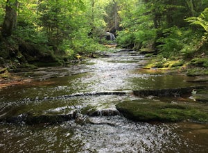
Hike to Lost Creek Falls
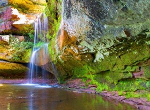
4.02.5 miThe trailhead has been updated for Lost Creek Falls and can now be found on Trail Drive in Cornucopia. On this well-marked 3-mile trail, there are signs along the trail, new boardwalks, and a larger parking area. This is a very nice trail en route to beautiful falls.Read more -
Bayfield, Wisconsin
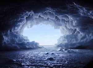
Hike the Lake Superior Ice Caves
5.01 miBegin at Meyer's Beach in the Apostle Islands National Lakeshore near Cornucopia, WI. There is a parking lot, but get there early in the day to get a spot and make sure to use the bathroom before heading out. There is no opportunity on the ice.Head out onto the frozen lake and follow the shorelin...Read more -
Bayfield, Wisconsin
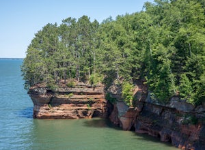
Meyer's Beach Sea Cave Trail
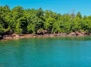
4.33 mi / 791 ft gainWhile many visitors view the mainland Apostle Island Caves via kayak, this trail provides an alternative view of the caves. The Meyer’s Beach Sea Cave Trail follows 2.3 miles of the Lakeshore Trail, which begins at the Meyer’s Beach parking lot near Cornucopia, Wisconsin. The first 0.7 miles of t...Read more -
Bayfield, Wisconsin
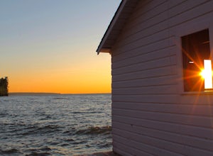
Catch a Sunset at Hokneson Fishery
0.16 mi / 11 ft gainBegin at the campground visitor center. Follow the marked paved trail right roughly .08 of a mile. The paved trail ends onto a sandy beach and the abandoned Hokenson Fishery. The trail itself is very short and should take less than 3 minutes to get to.Read more -
Bayfield, Wisconsin
Camp at North Fork Campground
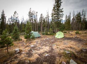
1.0North Fork campground isn't the most sought after campground, but it is a diamond in the rough and a great alternative if Brooklyn Lake Campground and Sugarloaf Campground are full. It is reservable, but they also have an abundance of first come first serve sites available. At 8,600 ft the campgr...Read more -
Port Wing, Wisconsin
Explore Twin Falls, WI
3.00.5 miIt’s located on Highway 13 on the outskirts of Port Wing, WI. If you are coming from the west, you’ll see a sign on your right for the park. This will be before you get to the town of Port Wing. If you are coming from the East on Highway 13, you will pass through the town and it’s shortly after ...Read more -
Washburn, Wisconsin
Houghton Falls
3.01.48 mi / 180 ft gainHoughton Falls State Nature Preserve is a small but mighty park located just north of Washburn, WI. Starting at the trailhead on Houghton Falls Rd, the trail takes you through a heavily forested area filled with hemlock, yew, and birch. About 1/3 mile in, the trail comes across the Echo Dells, a ...Read more -
La Pointe, Wisconsin
Camp on Madeline Island
5.0The largest of Wisconsin's Apostle Islands, Madeline Island is about the size of Manhattan, but extremely sparsely populated and a great place to explore a north woods ecosystem. The best way to get to the island is by ferry from Bayfield to La Pointe. From La Pointe, it is about a ten minute dri...Read more -
La Pointe, Wisconsin
Hike Bay View Trail, Big Bay State Park
2.6 miStarting at the parking lot, you will walk into an open field with a couple picnic tables. On the right side of the field, the trail enters into a forest and walks along Lake Superior. There are several spots along the trail that you can find to cliff jump and go for a swim. The lake is so clear ...Read more -
La Pointe, Wisconsin
Hike the Point Trail at Big Bay State Park
1.7 miLocated at the tip of Wisconsin on Madeline Island, Big Bay State Park is a must see for any Wisconsinite. To get to Madeline Island, you'll need to purchase a round trip ferry ride in Bayfield. The ferry is a quick 20 minute trip across Lake Superior. Once you get onto Madeline Island, head out ...Read more -
Two Harbors, Minnesota
Snowshoe to Corundum Point at Split Rock Lighthouse State Park
5.8 mi / 240 ft gainAlthough there are dozens of ways to do this trip and I encourage you to explore, I suggest one hike that I think does a good job of introducing this areas to new visitors. If you are planning on snowshoeing like I suggest, try to get a day with a good amount of fresh snow (6+ inches). Packed sno...Read more -
Two Harbors, Minnesota
Hike to the Fifth Falls of the Gooseberry River
3.82 mi / 100 ft gainGooseberry Falls State Park is the first State Park you hit traveling up the North Shore after leaving Duluth. Located 13 miles north of Two Harbors on Highway 61, Gooseberry Falls State Park a quick turn off of the highway which is very well marked with signs. Follow signs for Falls parking. Beg...Read more -
Two Harbors, Minnesota
Snowshoe the Split Rock River Loop Trail
3.05 mi / 280 ft gainBeginning at the Split Rock Wayside rest stop, start your hike up the Spur Trail. About half a mile in, the Spur Trail will junction with the Superior Hiking Trail. The trail gradually ascends along the west side of the Split Rock River. Within the first mile, you will cross over a small bridg...Read more -
Two Harbors, Minnesota
Hike Split Rock Lighthouse State Park to Corundum Point
5.8 mi / 300 ft gainOn November 28, 1905, a violent storm hit Split Rock Point on the North Shore of Lake Superior. While large storms aren't unusual at Split Rock, this particular storm resulted in the destruction of twenty-nine ships on the lake in a single day, prompting the construction of Split Rock Lighthouse....Read more -
Silver Bay, Minnesota
Hike to the Bear Lake Overlook
4.5Leave from the carpark on Superior Hiking Trail. The trail climbs a little before descending into a valley and winding around the hills. In about 2.5 miles, you will reach a clearing with an overlook above Bean Lake. At around 3.6 miles you will see a communal campsite on the right, with a number...Read more -
Silver Bay, Minnesota
Superior Hiking Trail: Bean and Bear Lake Loop
5.06.42 mi / 988 ft gainSuperior Hiking Trail: Bean and Bear Lake Loop is a loop trail that takes you by a lake located near Silver Bay, Minnesota.Read more

