Washougal, Washington
Top Spots in and near Washougal
-
Government Camp, Oregon
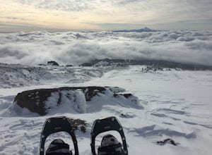
Snowshoe Tom, Dick, and Harry
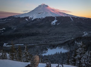
5.08 mi / 1710 ft gainYour day of adventure will start at the Skibowl West parking lot. Unfortunately, due to snowplowing, the roadside parking to the Mirror Lake trailhead is covered in snow. If you are doing this hike in the summer, be sure to check out this adventure: Climb Tock, Dick, and Harry Mountain!After you ...Read more -
Hood River, Oregon
Punchbowl Falls
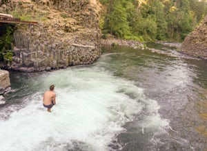
4.50.42 mi / 92 ft gainGetting to Punchbowl Falls is a super quick hike to a fun cliff-jumping swimming hole and waterfall. Be careful hiking the steep trail to the falls. Make use of the rope. Be VERY careful approaching the edge of the cliff higher up and know your limits when it comes to jumping. Always walk down a...Read more -
Saint Paul, Oregon
Hike the Champoeg SP Loop
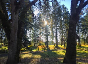
5.03.4 mi / 120 ft gainChampoeg was the first town to be settled in the Willamette Valley and the site of the formation of the first government in the northwest. The park offers historical sites as well as plentiful camping and some short day hikes. I decided to do the Townsite loop with my family on black friday #opto...Read more -
Estacada, Oregon
Raft the Wild and Scenic Clackamas River
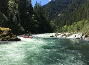
5.0The Wild and Scenic Clackamas River above the North Fork Reservoir is a great destination for paddlers and only about an hour drive from downtown Portland. This popular 13.5 mile section of river lies within the Mt. Hood National Forest and offers continuous class II-III boating with a little cla...Read more -
Ariel, Washington
Fly Fish Merrill Lake
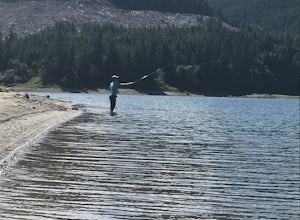
1 mi / 100 ft gainSurrounded by old growth forest, Merrill Lake near Cougar, Washington is the perfect little gem to get in some late summer, mid-elevation mountain lake fishing. The morning and evening hatches are known state wide for the size of fish they attract. There are stories of Eagles even stealing trout ...Read more -
Government Camp, Oregon
Climb the Mt. Hood Summit
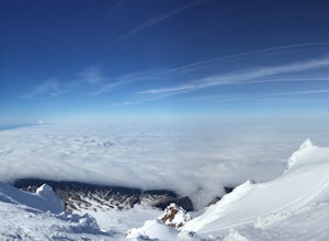
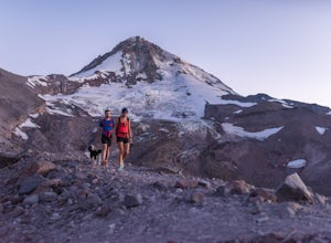
4.87 mi / 5239 ft gainStarting at 6,000 ft of elevation at Timberline Lodge, start your climb up the south side of Mt. Hood. If you head out at noon, in 6 hours you can make it about an hour past the last ski lift, called Palmer, where you can set up camp for the night. You may need to dig out a flat spot for your ten...Read more -
Government Camp, Oregon
Hike Paradise Park
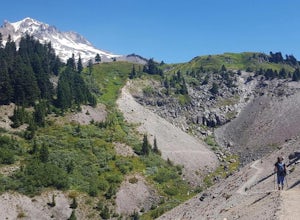
5.012 mi / 2300 ft gainThe hike begins at Timberline Lodge, which sits on Mount Hood at 6,000 feet of elevation. Find the Timberline trail behind the lodge by following any of the maze of trails heading east and you will be on your way! After 1.2 miles, you reach Little Zigzag Canyon where you will descend approximatel...Read more -
Government Camp, Oregon
Climb to Mt. Hood's Illumination Rock
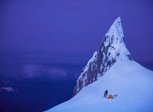
5.06 mi / 3600 ft gainThe Pacific Northwest has an abundance of beautiful, technical and fun Alpine ascents. For those looking to feel the rush of mountaineering but not wanting to push for a summit attempt, Illumination Rock on the southwest ridge of Mt Hood, offers a beautiful way to spend an afternoon or potential...Read more -
Government Camp, Oregon
Snowshoe to the top of Mount Hood's Palmer Ski Lift
4 mi / 2560 ft gainEnding just a few thousand feet shy of the mountain top, Palmer Lift doesn't start operating until most ski resorts are nearing their close. This leaves most of the mountain nearly uninhabited and ideal for exploring with close up views of the complex summit above and well into Oregon down below....Read more -
Government Camp, Oregon
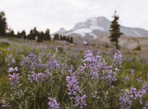
Photograph the Wildflowers at Timberline Lodge
4.0From the mount hood scenic byway in Government Camp, Oregon turn on the road that heads up to the Timberline Lodge. Follow that road to the end and park in the lot all the way at the top. In the ski season you need a pass to park there, but if you go in June, July, Or August (aka when the wildflo...Read more -
Government Camp, Oregon
Veda Lake Trail
4.02.5 mi / 748 ft gainThis hike starts at the Fir Tree Trailhead and is an out and back 2.8 mile round trip. It's short, but there's 660 feet of elevation gain. To start, you climb steeply then it's an easy hike to a beautiful viewpoint overlooking the lake. The trail descends via switchbacks down to the lake for the ...Read more -
Cook, Washington
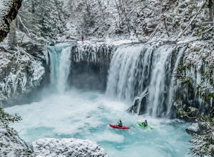
Spirit Falls
4.01.5 mi / 516 ft gainNOTE: Access to this hike is currently closed. A Part of this hike goes through private land. At this time, the landowner is not granting access to hikers. There are no signs or trail head for the falls, but it's a popular spot for kayakers and photographers, so look for a faint boot path direct...Read more -
Mount Hood, Oregon
Cooper Spur
5.06.87 mi / 3097 ft gainCooper Spur is located on the north east side of Mount Hood. This is the hike to do if you want to get up close and personal with the mountain. To get there you have to drive around 10 miles up a bumpy dirt road, once off the main road. Low-clearance vehicles can make it but high clearance vehic...Read more -
Mount Hood, Oregon
Explore Lavender Valley
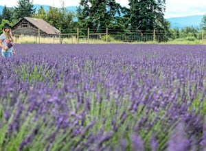
4.0Lavender Valley is a beautiful 6 acre hidden gem just 30 minutes south of Hood River, Oregon. Drive south on Hwy 35 for 12.6 miles to Woodworth Rd. Turn right/west onto Woodworth Rd. Take Woodworth Rd for 1.5 miles to Alexander Rd. Turn right/north onto Alexander Rd. Take Alexander Rd for 1 mile ...Read more -
Government Camp, Oregon
Camp at Trillium Lake
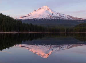
4.5The reflection of Mt. Hood on the lake makes this trip definitely worth the visit.Try to arrive during the day so you can watch the sunset. For photographers, the south side of the lake is an amazing spot to take photos, especially on a windless day. For those looking to kayak or fish, there is a...Read more -
Government Camp, Oregon
Snowshoe or Cross-Country Ski to Trillium Lake
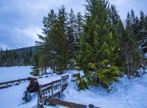
5.03.6 miStarting at the parking lot for Trillium Lake located right off of Highway 26, go past the locked gate and begin walking downhill. After about a mile, you will see a fork in the road. Either way will eventually take you to the lake, but going left will be much quicker and take you to the best spo...Read more

