Washougal, Washington
Top Spots in and near Washougal
-
Skamania County, Washington
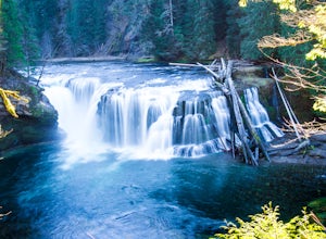
Hike to Lewis River Falls
4.3Distance: 5.4 milesElevation Change: 500ftThis Lewis River hike starts at Lower Falls then follows the Lewis River Trail #31, detours up to Copper Creek, before returning back to the main trail for the magnificent Upper Falls. Enticing views of the crystalline water in the Lewis River will make y...Read more -
Scotts Mills, Oregon
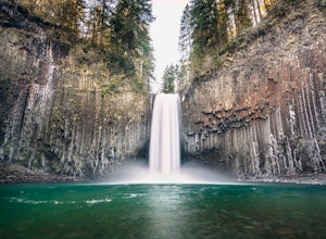
Abiqua Falls
4.90.69 mi / 115 ft gainThis trail is unmarked and a little rough and rugged. The land is privately owned by Mount Angel Abbey, but they don't appear to have problems with courteous hikers. Walking out of the parking area back up the road in the direction you came from, you’ll pass one dirt trail right at the ending of ...Read more -
Scotts Mills, Oregon
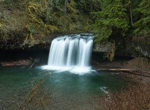
Upper Butte Creek Falls
4.00.73 mi / 308 ft gainFrom Scott Mills Follow Crooked Finger RD NE for 13.3 Miles to the Upper Butte Creek Trailhead. The last 2-3 miles or so is gravel road with some potholes but most cars shouldn't have a problem. The path down to the falls starts near the bathrooms. A short .3 mile walk on a few switchbacks and...Read more -
White Salmon, Washington
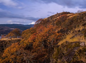
Coyote Wall Loop
3.56.29 mi / 1962 ft gainCoyote Wall is a relatively uncrowded trail system in the Columbia River Gorge that provides outstanding views of the Columbia River. The trail system is made up primarily of user-created mountain biking trails, allowing hikers a choose-your-own-adventure approach to exploring the area. Start o...Read more -
Mosier, Oregon
Mosier Plateau Trail
2.79 mi / 600 ft gainThe Columbia River Gorge is full of hidden gems, especially for new folks like me. I just found out about this little trail right in the middle of Mosier Oregon. The trail is great for new hikers, and if you have some friends visiting this would be the perfect trail to take them on if they don'...Read more -
498 Old Highway 8, Washington
Labyrinth-Coyote Wall Loop
6.42 mi / 1555 ft gainSadly because of the devastating Eagle Creek fire on the Oregon side of the Gorge, most of the trails are closed for restoration. As a result more hikers are heading to the Washington side and heading further east for Gorge day hikes. Heading east gets you some sunnier skies and prime wildflower ...Read more -
Toutle, Washington
Hike to the Summit of Coldwater Peak
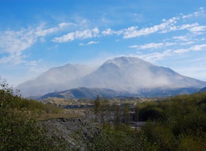
12.2 mi / 2000 ft gainWhile thousands of visitors come to witness the raw power and devastation left behind from Mount St Helens' famous 1980 eruption, few wander past the groomed paths surrounding the Johnston Ridge Observatory. It is beyond these paths where you come across the more commonly designed backcountry tra...Read more -
Toutle, Washington
Hike to Coldwater Peak via Boundary Trail
5.014.8 mi / 2700 ft gainThe Boundary trail is amazing. It's 54 miles long and runs for the most part along a ridge in Gifford Pinchot National Forest. You can climb various peaks and viewpoints right off the trail, but this trip report is for climbing Coldwater Peak and hiking up to Harry's Ridge Viewpoint on the way. H...Read more -
Toutle, Washington
Loowit Viewpoint
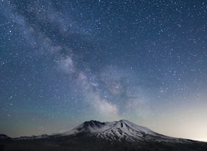
5.0From roughly May to September, both star gazers and photographers alike travel to the darkest locations in order to capture something truly magnificent- the galactic core of the milky way. The Loowit Viewpoint is unlike any around due to the perfect combination of it's remote location, higher ele...Read more -
Toutle, Washington
Hike the Hummocks Trail
2.4 mi / 0 ft gainThe trail has a number of ups and downs as you pass the many ponds and ash/rock/mud hills (hummocks) on your way towards the North Fork Toutle River. There is abundant wildlife in the area including birds, beaver and elk.This is also a great place to park and extend your day of hiking on the Boun...Read more -
Toutle, Washington
Mount Margaret's Ridge Camp via Coldwater Trailhead
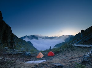
3.57.12 mi / 1634 ft gainThe hike is relatively easy. I'd say intermediate due to the incline at the beginning. Also intermediate due to it being an backpacking camp adventure. A friend of mine and I backpacked in to shoot the sunset and sunrise. We went a little early in the season so it was also to scout for future ad...Read more -
Toutle, Washington
Backpack to Snow Lake by Mt. Whittier
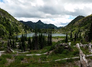
5.016 mi / 2700 ft gainThe Coldwater Lake Recreation Area has restrooms, telephones, and a picnic area. Make sure you have already acquired your permits for camping in the Mt. Margaret back country.Follow trail #211, which runs along the entire 4.5 mile length of Coldwater Lake. It is a beautiful and fairly flat hike w...Read more

