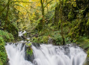
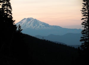
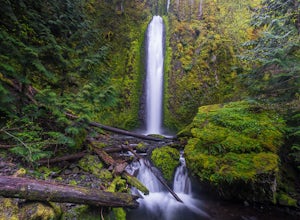
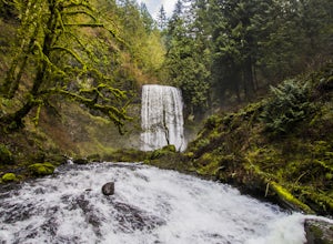
North Bonneville, Washington
Looking for the best photography in North Bonneville? We've got you covered with the top trails, trips, hiking, backpacking, camping and more around North Bonneville. The detailed guides, photos, and reviews are all submitted by the Outbound community.
Top Photography Spots in and near North Bonneville
-
Corbett, Oregon
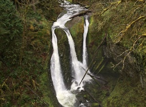
Triple Falls
4.53.4 mi / 1168 ft gainAccess to Triple Falls is currently closed. Learn more on the Forest Service Site. This hike, starting at the Oneonta Trailhead is a 3.2 mile roundtrip. You will gain approximately 600 feet in elevation as the trail often switches from moderate flat easy hiking to more difficult elevation gain a...Read more -
Cascade Locks, Oregon
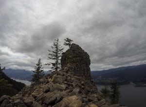
Indian Point via Herman Creek Trailhead
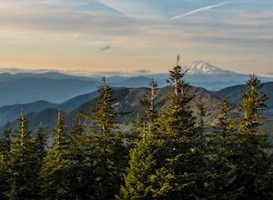
5.08.08 mi / 3658 ft gainPark at the Herman Creek Trailhead in Cascade Locks 2 miles from the exit. Remember to bring your Northwest Forest pass or a $5 payment to park. Start ascending on the Herman Creek trail a little over a mile until you hit a three-way junction for Gorton Creek Trail #408, Trail #400, and Herman ...Read more -
Cascade Locks, Oregon
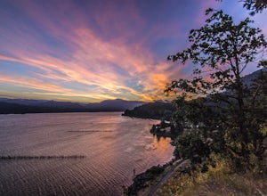
Explore Government Cove
4.7From downtown Portland follow I-84 East for about 50 miles until you reach mile marker 51. Get back on the highway but Westbound until you reach mile marker 47 pull off and take a right over the train tracks and you're there.Beautiful scenery all around and if you get there early enough, you can...Read more -
Carson, Washington
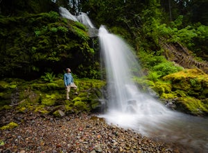
Steep Creek Falls
5.0Steep Creek Falls is located about 5 miles from the small town of Stevenson. Take Highway 14 one mile west of Stevenson to Rock Creek Drive and turn north, passing the Skamania Lodge and Resort. Turn left onto Ryan Allen Road and follow it for about a mile, then turn left onto Red Bluff Road. Fo...Read more -
Multnomah County, Oregon
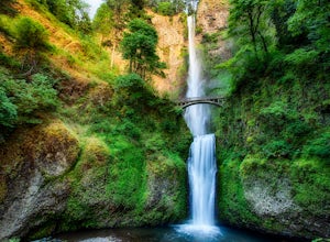
Multnomah Falls
4.22.61 mi / 1214 ft gainMultnomah Falls is worth a quick stop anytime you're visiting the Columbia River Gorge National Scenic Area in Oregon. This waterfall is the tallest in Oregon at 620 feet and the third largest in the Pacific Northwest behind Bridal Veil Falls (1,289 feet) and Green Lake Falls (979 feet) and has a...Read more -
Cascade Locks, Oregon
Multnomah-Wahkeena Loop
4.35.11 mi / 2162 ft gainThe Multnomah-Wahkeena loop is a classic hike in the Columbia Gorge. Few hikes take you by as many waterfalls, and the tree cover makes it a great hike in the rain. Starting at the Multnomah Falls Parking Area, head to the main viewing area of Multnomah Falls. If you get there early in the morn...Read more -
Cascade Locks, Oregon
Wiesendanger Falls
3.02 mi / 1591 ft gainYou can get on the trail in about 45 minutes from Portland and 35 minutes from Hood River via I-84. Once you get out of your car in the Multnomah Falls parking lot, head over to the historic Multnomah Falls Lodge. This is a neat place to check out after your hike. Then, follow the crowds to the ...Read more -
Washougal, Washington
Naked Falls
5.0The family friendly Naked Falls is just 20 minutes outside of Camas, Washington. It is a great introduction to kids of the great Pacific Northwest. It is also a great reminder for cliff jumpers that there are still great spots that aren’t too far from home. A $12 fee per car is required for parki...Read more -
Stevenson, Washington
Three Corner Rock
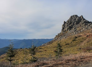
4.03.86 mi / 1093 ft gainFrom the Rock Creek Pass Trailhead, begin the short hike to Three Corner Rock by heading south on the Pacific Crest Trail from its crossing of Road CG 2090. After a steady 1.5-mile climb of roughly 600 feet, look for a large fallen sign marking the junction to Three Corner Rock. Shortly after, an...Read more -
Corbett, Oregon
Wahkeena Falls
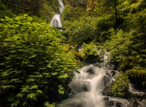
4.00.48 mi / 427 ft gainThis Waterfall is located along the Colombia River Gorge and is surrounded by many other, much more trafficked waterfalls so it gets a lot fewer visitors. This is a beautiful spot to relax at, take photos, and get away from some of the crowds. The bottom of the falls end right at the parking lot ...Read more -
Corbett, Oregon
Fairy Falls
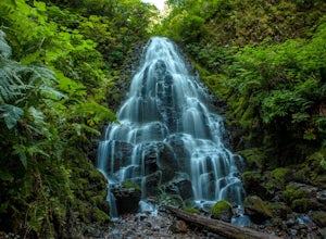
4.82.02 mi / 1293 ft gainFairy Falls sits in the heart of the Columbia River Gorge, not much more than a mile from the Wahkeena Trailhead. The parking lot is right off the Old Columbia River Highway and will be packed with cars in the summer. Head up the trail towards Wahkeena Falls, which is not far up the hill. This f...Read more -
Cascade Locks, Oregon
Chinidere Mountain
4.83.18 mi / 1150 ft gainThe easy version of the Chinidere Mountain hike starts Wahtum Lake Trailhead. The road to the parking lot for Wahtum Lake is paved and thus very easy to access in summer and before snowfall in autumn! The mountain sits across the lake from the parking lot and there are several trails that will ta...Read more -
Cascade Locks, Oregon
Emerald Falls
2.00.65 mi / 308 ft gainStart at the Wyreth Campground day-use area. If it's closed, park on the side of the road and walk in from the roadway. You'll see an intersection with a wooden bridge crossing the river. Take a few pictures and continue straight on the trail. You'll go about 1/2 mile on the trail until you rea...Read more -
Cascade Locks, Oregon
North Lake via Wyeth Trail
1.012.36 mi / 4505 ft gainPark at the Wyeth Trailhead parking lot and start hiking south along the old road bed. At the junction with the Gorge-Wyeth Trail, bear left and follow the Wyeth Trail as it goes beneath several power lines. Follow the trail as it goes back into the woods and crosses Harphan Creek. Continue on an...Read more -
Cascade Locks, Oregon
Gorton Creek Falls
4.71.01 mi / 361 ft gainThe Gorton Creek Falls hike provides an excellent challenge for those who are searching for a bit of adventure. The trailhead starts at the Wyeth Campground day use area, and continues straight at the intersection. The first 2/3rds of the trail are relatively easy to traverse (depsite being rough...Read more -
Corbett, Oregon
Hike to Upper Bridal Veil Falls
5.00.5 miAt the parking lot for Angel's Rest, turn left uphill on to Palmer Mill Road. Drive for about a mile, and park right past a tributary stream/small waterfall (pictured above) on your left that flows through a small pipe under the road. You will see a small space to park on the right. Park here and...Read more

