North Bonneville, Washington
Looking for the best photography in North Bonneville? We've got you covered with the top trails, trips, hiking, backpacking, camping and more around North Bonneville. The detailed guides, photos, and reviews are all submitted by the Outbound community.
Top Photography Spots in and near North Bonneville
-
Portland, Oregon
Photograph the St. John's Bridge
4.5To begin, park on North Pittsburg Ave and walk down to the river. Then, turn left and walk down the short less than a quarter mile until you see a spot where the beach is bigger than in other areas. This is an extremely good place to take photographs of the bridge, especially at night. Feel free ...Read more -
Portland, Oregon
Explore Cathedral Park
4.5Located right underneath the St Johns Bridge, Cathedral Park is hard to miss. It was given its name due to the Gothic looking arches that sit above the park.This is one of my personal favorite places to photograph especially if you enjoy photographing bridges. This park can be crowded or have eve...Read more -
11020 Southwest Denney Road, Oregon
Run the Fanno Creek trail
4 miThe parking lot marked is at the North end of the Fanno Creek trail, you can get on the paved path here and put on just about as many miles as you want! With the help of google maps on your phone you can follow trail hop all the way down to Tualatin! But if you're looking for a shorter workout yo...Read more -
Yakima County, Washington
Mount Adams Circumambulation
35.1 mi / 8881 ft gain***Before you go on this trek, give the Yakama Nation a call and talk to a Ranger to make sure the trail is open to backpackers or hikers.*** 1-509-865-5121 or 1-509-395-3402 There are a few places you can start this adventure, but starting from the South Climb Trail Head and Cold Spring Campgrou...Read more -
Skamania County, Washington
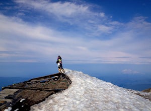
Hike to the Summit of Mount Adams via South Climb
5.012 mi / 6700 ft gainStart by checking in at the Trout Lake Ranger station to pick up a Cascade Volcanoes pass for $10-$15. Continue the South Climb trailhead at the Cloud Cap Campground. Some hikers overnight here for an early start the next day.Sign out a wilderness permit at the trailhead and follow the South Clim...Read more -
Centerville, Washington
Hike through Dalles Mountain Ranch
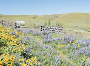
4.55 mi / 480 ft gainJust north of The Dalles lies a park most have never heard of despite it's astounding 3,338 acres in size... Columbia Hills Historical State Park. A large park comprised of many smaller ones, the outdoor lover may come here to enjoy kayaking or fishing on the 90 acre lake, rock climb the ragged o...Read more -
Beaverton, Oregon
Hike through Tualatin Hills Nature Park
2 miThis is an awesome place to escape to for a workout, or just a walk through the forest! You can make it a short walk, or turn it in to 6+ miles of loops! The one main trail is paved, but it’s not hard to find some single dirt track trails branching off and wandering through the trees, it can make...Read more -
Toutle, Washington
Hike to Coldwater Peak via Boundary Trail
5.014.8 mi / 2700 ft gainThe Boundary trail is amazing. It's 54 miles long and runs for the most part along a ridge in Gifford Pinchot National Forest. You can climb various peaks and viewpoints right off the trail, but this trip report is for climbing Coldwater Peak and hiking up to Harry's Ridge Viewpoint on the way. H...Read more -
Toutle, Washington
Loowit Viewpoint
5.0From roughly May to September, both star gazers and photographers alike travel to the darkest locations in order to capture something truly magnificent- the galactic core of the milky way. The Loowit Viewpoint is unlike any around due to the perfect combination of it's remote location, higher ele...Read more -
Skamania County, Washington
Hike to Norway Pass
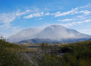
4.4 mi / 860 ft gainJust 96 miles south of Seattle, and 50 miles northeast of Portland, Mt. St. Helens and its wild, rugged beauty awaits you.Starting at the Norway Pass Trailhead parking lot, walk a dusty and sometimes ashy trail through recovering forest, low brush, wildflowers and blown down, sun bleached logs. T...Read more -
Toutle, Washington
Mount Margaret's Ridge Camp via Coldwater Trailhead
3.57.12 mi / 1634 ft gainThe hike is relatively easy. I'd say intermediate due to the incline at the beginning. Also intermediate due to it being an backpacking camp adventure. A friend of mine and I backpacked in to shoot the sunset and sunrise. We went a little early in the season so it was also to scout for future ad...Read more -
Toutle, Washington
Hike the Hummocks Trail
2.4 mi / 0 ft gainThe trail has a number of ups and downs as you pass the many ponds and ash/rock/mud hills (hummocks) on your way towards the North Fork Toutle River. There is abundant wildlife in the area including birds, beaver and elk.This is also a great place to park and extend your day of hiking on the Boun...Read more -
Toutle, Washington
Backpack to Snow Lake by Mt. Whittier
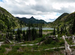
5.016 mi / 2700 ft gainThe Coldwater Lake Recreation Area has restrooms, telephones, and a picnic area. Make sure you have already acquired your permits for camping in the Mt. Margaret back country.Follow trail #211, which runs along the entire 4.5 mile length of Coldwater Lake. It is a beautiful and fairly flat hike w...Read more -
Skamania County, Washington
Camp at Takhlakh Lake
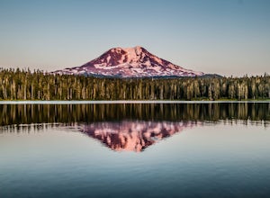
5.0Takhlakh Lake is located 7 miles NW of Mt Adams with a 53 site campground on the west side of the lake as well as a day use picnic area.The campground features a boat ramp and a wheelchair-accessible 1.1 mile flat trail, which encircles the lake, and accesses the Meadows Trail that climbs up to t...Read more -
Skamania County, Washington
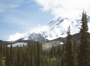
Hike to Adams Glacier Meadows
7.5 mi / 1800 ft gainFor the most of the hike, the mountain is hidden behind the firs that surround the hiker as they gain elevation. Because of the dense forest the trail is remains in for most of the hike, it is nicely shaded and pleasant to wander through. At about 2 miles in, the trail leads the hiker into variou...Read more


