Goshen, Virginia
Looking for the best chillin in Goshen? We've got you covered with the top trails, trips, hiking, backpacking, camping and more around Goshen. The detailed guides, photos, and reviews are all submitted by the Outbound community.
Top Chillin Spots in and near Goshen
-
Rockbridge Baths, Virginia
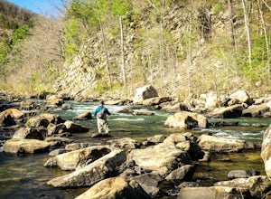
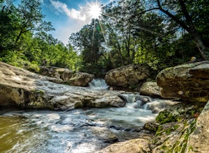
Fly Fish Goshen Pass
5.0The fly fishing on the Maury River is one of a kind through the Goshen Pass. The Pass is littered with huge boulders, which actually makes it possible to fish without waders, although it's much easier and more enjoyable with waders.From Lexington, VA, take Route 39 towards Goshen for approximatel...Read more -
Rockbridge Baths, Virginia
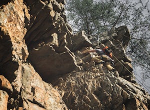
Rock Climb at Goshen Pass
5.0Goshen Pass is a beautiful area for kayaking and fishing in Bath County, Virginia near Lexington. But not as well known is the fact that there are a few places that are great for rock climbing. You'll want to park at the swinging bridge which is two miles past the picnic area on route 39 once you...Read more -
Vesuvius, Virginia
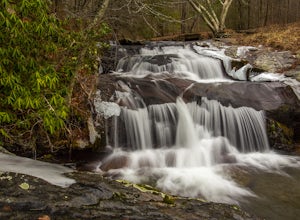
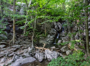
Photograph Statons Creek Falls
4.0To view this waterfall, hiking is not necessarily involved since the top of it is next to a small parking area along CR-633. If you feel like scrambling and bushwhacking, it’s possible to make your way down either side to small pools and cascades with a total drop of about 100 feet. The terrain i...Read more -
Montebello, Virginia
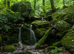
Hike to Wigwam Falls
2.7The Yankee Horse Ridge Parking Area is located at milepost 34.4 on the Blue Ridge Parkway. From the parking area, follow the rock steps to the railroad tracks and turn right. Follow the tracks the stream and turn left. Proceed on the path to the bridge in front of the 30 ft. waterfall.Read more -
Amherst, Virginia
Swim at Panther Falls
5.00.7 mi / -100 ft gainFrom Lexington or Buena Vista, Virginia, take Rt. 60 east for several miles. As soon as you pass under the Blue Ridge Parkway, look for a gravel road on your right marked Panther Falls Road. This is a fairly bumpy gravel road, so take it easy. Follow Panther Falls Road down the mountain for just ...Read more -
Meadows Lane, Virginia
Camp near Crabtree Meadows in GWNF
5.0As stated, the campsites are free. They do not require reservations or permits and are on a first come, first served basis. Regardless of which direction you're coming from, you will be traveling on Crabtree Falls Highway until reaching Meadows Lane. This is a gravel access road that requires 4WD...Read more -
Vesuvius, Virginia
Hike to White Rock Falls
3.52.4 miPark in The Slacks Overlook parking lot on the Blue Ridge Parkway, around milepost 20. From there exit the parking lot back onto the road and head left. About 300 feet from the parking lot there is the trail entrance. It isn't too hard to find if you are looking for it, but there aren't any marki...Read more -
Vesuvius, Virginia
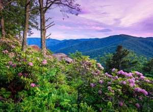
Photograph 20 Minute Cliff Overlook
4.5Located at mile marker 19 along the Blue Ridge Parkway, 20 Minute Cliff Overlook is super easy to access and has an amazing 180 degree panoramic view. Looking West over the Blue Ridge Mountains, this 2,715 foot overlook has a great view of the Priest to the South, Maintop Mountain and Fork Mounta...Read more -
Hot Springs, Virginia
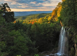
Explore Falling Spring Falls in the Alleghany Highlands
4.2Just nine miles north of I-64, this viewpoint is not one to be missed if you’re in the area. According to the information post at the overlook, “The site was once visited by [Thomas] Jefferson to survey the falls and he mentions it in his manuscripts ‘Notes on the State of Virginia’ written in 1...Read more -
Hot Springs, Virginia
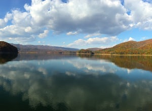
Backpack around Lake Moomaw
5.06.6 mi / 1200 ft gainOn your way to the trailhead don't forget to pull off the road at the scenic outlook to take in the vast expanse of Lake Moomaw (you won't miss it!).Start off your adventure by parking at the end of Twin Ridge Drive (37.976545, -79.985582). From this point, hike down the little paved driveway int...Read more -
Lyndhurst, Virginia
Camp at Sherando Lake
4.0Sherando Lake is a beautifully maintained dog/family friendly campground situated between two lakes. Upper Sherando Lake is available for fishing only but the larger, 25 acre, Lower Sherando Lake offers swimming, fishing, kayaking, and relaxing on the beach. The campground is divided into three ...Read more -
Roseland, Virginia
Backpack Reeds Gap to Rockfish Gap
5.020 miNote: We usually get a chance to take this trip in the summer, so please pay attention to the weather and pack accordingly. This description is for a July/August hike and the temperatures were in the 80s during the day and 60s at night. During this time of year rain showers are always a possibili...Read more -
Natural Bridge Station, Virginia
Swim at Arnold Valley Pool
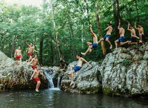
4.6Arnold Valley Pool might be a couple hundred feet from the road but most people don’t even notice when they pass by. This swimming hole is located on the same road as Devil’s Marbleyard and is the perfect place to cool off after the intense hike at the Marbleyard or on any hot summer day. The swi...Read more -
Roseland, Virginia
Photograph Devils Knob Overlook
4.5Located next to Wintergreen Resort, Devils Knob is super easy to get to and has an amazing 180 degree panoramic view. Looking Southwest over the Blue Ridge Mountains and the Blue Ridge Parkway, this 3,800 foot overlook had a great view of Three Ridge Mountain and the Priest. Located on Devils Kno...Read more -
Eagle Rock, Virginia
Canoe or Kayak the Upper James River
4.3Put in at the Horseshoe Bend Boat Ramp near Buchanan, VA. The pin on the map will take you right there. Takeout will be at the boat ramp in downtown Buchanan, approximately 9 miles down river. This ramp is located just above the Rt. 11 bridge.Twin River Outfitters uses this ramp also, so there's ...Read more -
Lyndhurst, Virginia
Explore Ravens Roost Overlook
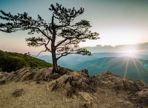
4.5This cozy little overlook is very simple to get to. If you are coming from I 64, after taking exit 99 towards Shenandoah National Park, turn right onto the Blue Ridge Parkway when the exit comes to a "T-stop". From there, it's 10 miles down the Parkway on your right. You will see a clearly marke...Read more

