Cape Charles, Virginia
Looking for the best photography in Cape Charles? We've got you covered with the top trails, trips, hiking, backpacking, camping and more around Cape Charles. The detailed guides, photos, and reviews are all submitted by the Outbound community.
Top Photography Spots in and near Cape Charles
-
Virginia Beach, Virginia
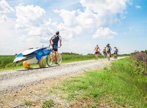
Bike into False Cape State Park
4.7Located in South Eastern Virginia Beach VA, False Cape State Park is only accessible by bike, foot, or tour. To get here, you must head in to Sandbridge Beach and drive south on Sandpiper Road until you pass the Little Island Pier parking on your left. After this point, there will be no more buil...Read more -
Virginia Beach, Virginia
Bike Camp False Cape
It's hard to beat an outdoor adventure that keeps you near the ocean's edge. For this destination, getting there is possibly the best part. The trail is well kept and level; perfect for an easy bike ride or hike. An easy trail due to lack of incline (after all, it is by the sea). For the first fe...Read more -
Virginia Beach, Virginia
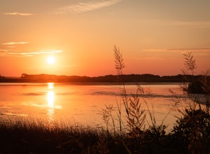
Catch Sunset on the Wild Shores of Back Bay National Wildlife Refuge
5.0At the far south end of Virginia Beach’s Sandbridge community lies a seldom visited natural treasure, Back Bay National Wildlife Refuge. The expansive beaches feel wilder than the shores just a few miles north and are littered with the footprints of sandpipers, rather than that of humans. On th...Read more -
Williamsburg, Virginia
Bike Jamestown Island
5.1 mi / 45 ft gainThe trail is open to cyclists and pedestrians, but does share the road with some vehicle traffic. The speed limit is slow and often there is little traffic. There also is no parking at the actual trail head, so one must begin at the Visitor Center Parking lot. The trail will show off the natural ...Read more -
Virginia Beach, Virginia
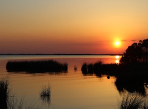
Catch a Sunset at the Old Pungo Ferry Landing
4.0From the Virginia Beach ocean front, head South on VA-149/General Booth Blvd for 6 miles. Turn left onto Princess Anne Rd and head South for 10.5 miles. Turn right onto Old Pungo Ferry Rd. Take this road until it ends at a small park. From here, hike along the water's edge to find the best place ...Read more -
Stonehouse, Virginia
Stargaze at Little Creek Dam Road
3.0This stargazing spot is a wonderful place to test your star photography, or a sweet place to relax and chill with friends. It's a quiet and relaxing spot.It's a little windy, so bring appropriate clothing to sit there and stargaze. And make sure to go when there are clear skies, and on a night wi...Read more -
Virginia Beach, Virginia
Catch A Sunset at the Munden Point Park Pier
4.00.1 mi / 0 ft gainOnce in the park, you want to make your way to the most northern section of the park for the best sunset shots. Park in front of (south) of the softball field and follow the paved bike path right in front of you. The path heads north toward the water. Walk the 200 yard long path to the pier for e...Read more -
Chesapeake, Virginia
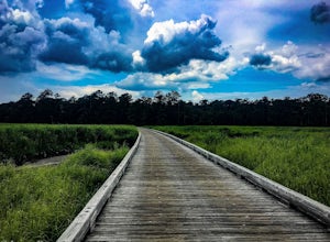
Hike the Northwest River Park East Loop
3 mi / 0 ft gainWhen arriving at the park drive to Parking Lot 4 to park, this will give you the closest access to the trail head. Start heading Southeast along the Molly Mitchell Trail and continue on it until you reach the Shuttle Trail and take a left. You will only remain on this trail for a very short segme...Read more

