Henrieville, Utah
Top Spots in and near Henrieville
-
Boulder, Utah
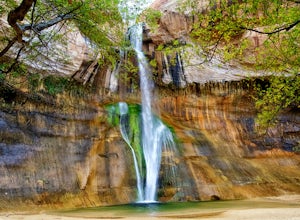
Lower Calf Creek Falls
4.65.74 mi / 515 ft gainThe trailhead for lower calf creek falls begins at the Calf Creek Campground. There is a small fee to park in the campground and a larger fee if you plan on camping in the campground. There is potable water and outhouses at the trailhead but parking can be difficult to find during the spring and ...Read more -
Escalante, Utah
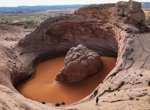
Hike to the Cosmic Ashtray
4.08 mi / 800 ft gain...As a frequent traveler, what's always motivated my travels were locations that have either been on my bucket list, or are places that are photogenic and a little off the beaten path. During my recent 3 week road trip through Northern Arizona and Southern Utah, I had the opportunity to visit a ...Read more -
Boulder, Utah
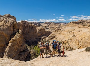
Backpack Death Hollow in Grand Staircase-Escalante
22 mi / 1600 ft gainThe most popular route into Death Hollow is from the Boulder airstrip near the town of Boulder, Utah. The trailhead for the Boulder Mail Trail begins, or ends here depending on which way you are hiking. Leave a car at the Highway 12 bridge over the Escalante River for the thru hike, or get luck...Read more -
Boulder, Utah
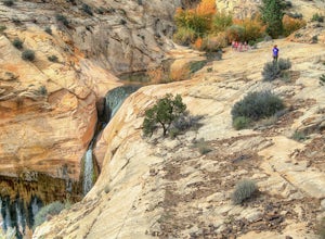
Upper Calf Creek Falls
5.01.76 mi / 571 ft gainFinding the trailhead for the Upper Calf Creek Falls can be a little difficult. Head east out of Escalante and follow highway 12 for about 20.6 miles. There will be a dirt turnout on the left hand side that leads to a dirt parking lot and a trail sign with registration for the Upper Calf Creek Fa...Read more -
Cedar City, Utah
Hike the Hoodoo Loop Trail in Dixie National Forest
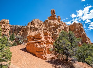
5.00.3 miHoodoo's are unique rock formations formed over many years by erosion. In this region, the hoodoos are formed through a process called frost wedging. This is the process of repeated freeze thaw cycles. As snow melts the water seeps between the cracks in the rocks then freezes at night when the...Read more -
Orderville, Utah
Hike Red Hollow Slot Canyon
5.03.2 mi / 200 ft gainThe trailhead is about 18 miles from the eastern entrance of Zion National Park, located in the small town of Orderville. In Orderville, the streets aren't marked too well, so follow the road that goes past the cemetery and the school, 100 East. When the road Ts, turn left. The road ends in a san...Read more -
Marble Canyon, Arizona
Hike to the White Pocket
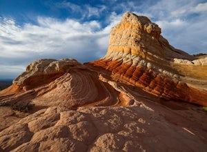
5.04 miWhite Pocket is extremely difficult to access due to the road leading to it. There are sections with very deep, soft sand going uphill! You must have a high clearance 4WD vehicle and air down your tires to have any hope of making it here. Do not take this lightly, a tow bill will cost you a minim...Read more -
Marble Canyon, Arizona
Night Photography at White Pocket
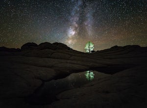
White Pocket is a remote outcropping of sandstone formations in Vermillion Cliffs National Monument similar to the famous "Wave". Unlike The Wave, a permit isn't needed to visit, but you will need a high-clearance 4WD vehicle with good tires; alternatively, you can hire a 4WD tour service in near...Read more -
Boulder, Utah
Drive the Burr Trail Scenic Backway
5.066.2 mi / 4124 ft gainThe Burr Trail is a 66 miles mostly-paved road connecting Boulder, Utah / Highway 12 with the Notom-Bullfrog road that passes through some of the most scenic (and largely untouched) painted-rock backcountry in three of our national parks/monuments including Grand Staircase-Escalante, Capitol Reef...Read more -
Orderville, Utah
Kanab's Peek-a-Boo Canyon
4.87.71 mi / 587 ft gainThe trailhead is Red Canyon (aka Peek-a-boo) trailhead located just off of Highway 89 between Kanab and Mt. Carmel Junction. The GPX track shows the entirety of the trail, but if you have 4WD and a high-clearance vehicle, you're able to reach the closer parking area for a less than 1-mile roundtr...Read more -
Orderville, Utah
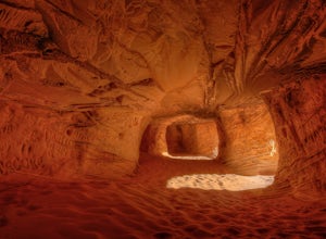
Hike through the Red Caves (Sand Wash)
5.0They don't require any technical gear unless you would like to do two short rappels near the beginning of Lower Red Cave and one short rappel into the Upper Red Cave. We didn't take a rope and were fine although the canyons are usually filled with water and have some difficult obstacles to overco...Read more -
Duck Creek Village, Utah
Hike the Cascades Trail in Dixie National Forest
1.2 mi / 137 ft gainHiked the cascades trail from the parking lot through a forest of spruce trees and many interesting wildflowers. The trail has good views of the National Forest and Zion National Park in the distance. The trail has some elevation gain but not too bad. The waterfall is rather small but a refreshi...Read more -
Boulder, Utah
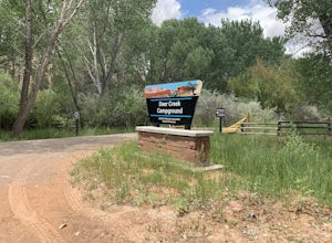
Camp at Deer Creek Campground
5.0Deer Creek campground is off of the Burr Scenic drive and right outside of the lower part of Capitol Reef National Park. This campground is perfect if you are driving from Bryce Canyon to Capitol Reef. There are a total of 7 tent sites in the campground. There are no spots for RVs and no turn aro...Read more -
Kanab, Utah
Sand Caves of Kanab
4.51.17 mi / 69 ft gainTo get to this cave, drive north of Kanab on Highway 89. Just after you pass Best Friends Animal Sanctuary, you will see these caves on the right. To hike to the caves, try accessing the trail from as far to the left as possible. The hike isn't strenuous or tricky in that case. The other thing t...Read more -
Kane County, Utah
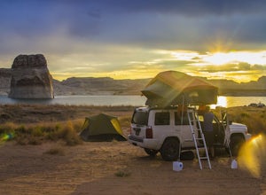
Beach Camp On Lake Powell's Lone Rock Beach
4.6Just twelve miles north of Page, Arizona on Highway 89 across the Utah border, Lone Rock Beach is a great open beach where you can drive right up and make camp anywhere you like. There is a $10 fee to get on the beach and it can get a little busy during the summer, but it seems like you can alway...Read more -
Garfield County, Utah
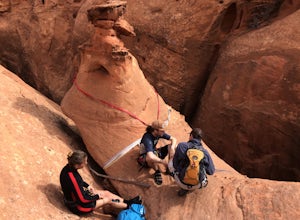
Canyoneering in Neon Canyon
13 mi / 1000 ft gainThis is an 8-12 hour technical adventure that is usually done as an overnight backpack. Consider hiring a local guide service such as Excursions of Escalante or Escalante Outfitters! We did this as a self-guided excursion. A group is recommended because you may experience keeper potholes dependin...Read more

