Henrieville, Utah
Top Spots in and near Henrieville
-
Garfield County, Utah
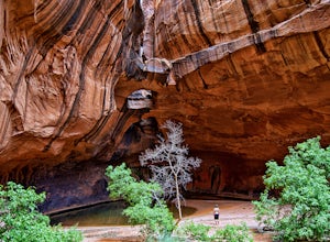
Golden Cathedral Trail
4.59.27 mi / 1398 ft gainFrom highway 12, drive south down the hole in the rock road for about 17 miles to a dirt road on the left that is well marked for Egypt. Follow that dirt road 9.9 miles to the Egypt Trailhead. There is a BLM trail register at the trail head. After that, take one of the numerous ways down to the E...Read more -
Kane County, Utah
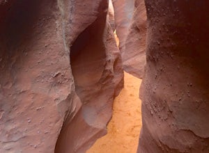
Peek-a-Boo and Spooky Canyons
4.75.44 mi / 584 ft gainThis hike is located in the Grand-Staircase-Escalante Monument and the nearest town is Escalante, Utah. From Escalante, you take Hole-in-the-Rock Road 26 miles to the Dry Fork road turn-off. The Hole-in-the-Rock road It is a dirt road, and while I did see some sedans and minivans, I suggest a veh...Read more -
Kane County, Utah
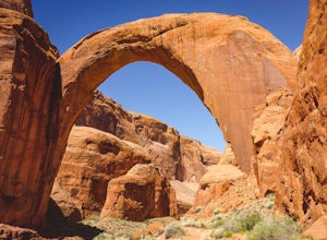
Backpack to Rainbow Bridge
5.017 mi / 2800 ft gainThis incredible trip isn't only about Rainbow Bridge. Honestly, the Bridge is just icing on the cake.The scenery is breathtaking along the way, changing and evolving as you pass through epic canyons and climb over rocky ledges to be rewarded with spanning vistas. It really is amazing. There's eve...Read more -
Kane County, Utah
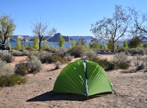
Camp At Wahweap Campground
4.0This modern campground is just steps from the beach and centrally located on the Arizona / Utah border -- perfect for exploring both sides of the Glen Canyon National Recreational Area. You do need a national parks pass or will incure a $25 fee to enter the park (good for one week). The campgrou...Read more -
Page, Arizona
Boat-in to Rainbow Bridge
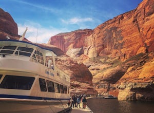
1.25 miThis amazing trip to one of the largest natural bridges in the world, Rainbow Bridge National Monument, begins at the Lake Powell Marina. Catch your ride at Lake Powell Resort at the Wahweap Marina. This tour the lake for a couple of hours until you reach a narrow canyon. The 50+ foot boat will m...Read more -
Brian Head, Utah
Alpine Pond North Loop
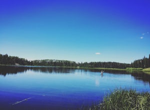
1.22 mi / 79 ft gainAlpine Pond North Loop is a loop trail that takes you by a lake located near Cedar City, Utah.Read more -
Brian Head, Utah
Hike the Sunset Trail
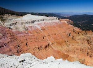
4.01 mi / 200 ft gainCedar Breaks National Monument is a gorgeous multi-colored limestone amphitheater that many consider to be more beautiful than Bryce Canyon National Park given its greater depth over a shorter distance and higher elevation. It is far less traveled than its neighbors of Zion and Bryce. The Sunset ...Read more -
Brian Head, Utah
Hike Ramparts Trail via Spectra Point
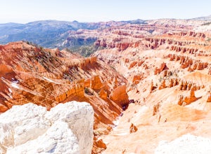
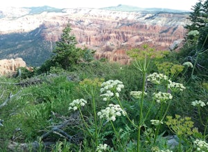
5.04 miTo call this place "breathtaking" would not do it justice. The rusty red, orange, purple colors of million-year-old rock erosion are otherworldly, something you'd imagine on Mars. The Indians named Cedar Breaks the "Circle of Painted Cliffs," and when you see this brilliantly colored coliseum you...Read more -
Brian Head, Utah
Hike the Sunset Trail, Cedar Breaks National Monument
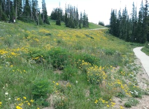
2 mi / 100 ft gainStarted the hike at the visitor center. The walk is fairly level and there is not much altitude gain. There are very good views of the park and in the summer there is a profusion of wildflowers. At the beginning of the trail the different wildflowers are labeled.Read more -
Brian Head, Utah
Hike the Spectra Point and Rampart Overlook Trails
3.7 mi / 836 ft gainPark at the visitor center parking lot and start hiking the trail. You'll admire the great views of the breaks and canyons below. If you hike in the summer, be sure to take the time to photograph the many beautiful wildflowers, old cedars, and marmots.Read more -
Brian Head, Utah
Hike the Brian Head Loop Trail
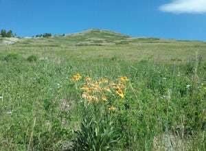
0.2 miDrive to the peak on county road 47 to the parking area. Hike around the peak and admire the beautiful views of the mountains and the resort below. Be sure to take pictures of the abundant wildflowers around the peak. The drive to the peak is very scenic.Read more -
Duck Creek Village, Utah
Hike The Narrows: Top Down
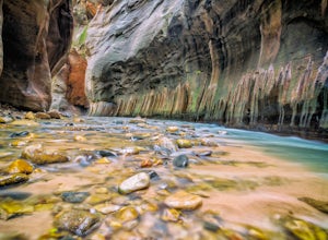
5.015.38 miTHE NARROWS This by far one of the most scenic and awesome hikes available in any National Park. There is no place in Zion National Park more sublime in its beauty and awe inspiring in its creation as you hike through the crystal clear Virgin River and marvel at the myriad of red, orange, yellow...Read more -
Boulder, Utah
Camp and Fish Deer Creek Lake
2.7 mi / 702 ft gainThere is something magical about Deer Creek Lake. The views are amazing, the hike is revitalizing, and the mountain air speaks to your soul. Stars seem to shine brighter here than any other trip you will go on. Out here, it is you and the wild. You will be able to see fish colored with bright cut...Read more -
Page, Arizona
Hiking the Ropes Trail in Page Arizona
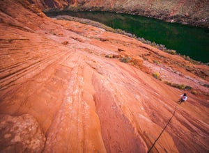
5.0The Ropes Trail is an old hiking trail below Glen Canyon Dam that has long since been abandoned by the park service. It is also one of the few trails that leads down the steep walls into the canyon. Let me say that again, it's steep. Getting there Take Highway 89 from Page going north and take th...Read more -
Page, Arizona
Hike the Glen Canyon Dam Overlook
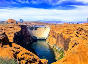
5.00.11 mi / 124 ft gainThe Glen Canyon Dam separates the Colorado River from Lake Powell. The terrain on this hike is uneven and rocky. The overlook is located on Scenic View Drive off of highway 89. Glen Canyon Dam is located in Glen Canyon National Recreation Area.Read more -
Page, Arizona
Kayak Antelope Canyon
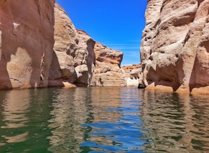
5.0Antelope Canyon is perhaps the most well-known and most photographed slot canyon in the United States. But many people probably don’t realize that you can also kayak a portion of the canyon. Just five miles north of Lower Antelope Canyon on BIA Highway N22B is access to Lake Powell. From here,...Read more

