Duchesne, Utah
Top Spots in and near Duchesne
-
Hanna, Utah
Explore Grandaddy Basin
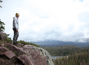
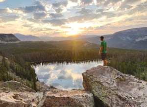
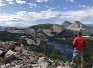
5.0Grandaddy Lake is the largest lake in the High Unitas. While Grandaddy Lake can have plenty of hikers, there are over twenty lakes within a two-hour hike within the Grandaddy Basin. Most hikers don’t go beyond Grandaddy lake, making the area a fantastic area to explore and camp. Elevation in the ...Read more -
Wasatch County, Utah
Hike Little Deer Creek to Cataract Gorge
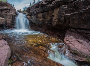
4.04 miLittle Deer Creek Canyon can be accessed from the Emerald Lake Highway (150) in the Uinta National Forest east of Kamas, Utah. Turn right onto Murdoch Basin Road (Forest Service Road 137) until it splits off to the road to Cataract Gorge (Forest Service Road 027). It is recommended you park her...Read more -
Evanston, Utah
Backpack to Dead Horse Lake
5.021 mi / 1400 ft gainDead Horse Lake is a lightly trafficked and highly scenic route in the High Uintas Wilderness. The trail is easy enough to do overnight but I recommend taking an extra day to explore the area around Dead Horse Lake. From the trailhead you will hike south on the West Fork Blacks Fork trail. The...Read more -
Hanna, Utah
Camp at Pyramid Lake in Murdock Basin of Utah's Uinta Mountains
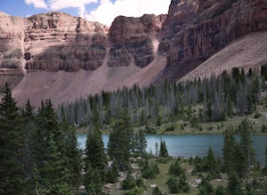
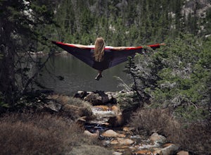
Grab a fishing pole, hammock, or book. Pyramid Lake is the perfect setting to kick back and relax in Murdock Basin of Utah's Uinta Mountains! Pyramid Lake is at an elevation of 9,700 feet with a 1,000-foot tall mountain directly to the west of the lake. Due to this steep face butting up to the e...Read more -
Kamas, Utah
Camp up Murdock Basin Road
4.0Murdock Basin Road is located about 22 miles up Mirror Lake Highway (UT-150) from Kamas, UT. After turning right onto Murdock Basin Rd, you'll cross a bridge over the Provo River and then it's onto the dirt road. Sites are scattered on the left and right (I suggest the left side spots) with plent...Read more -
Kamas, Utah
Backcountry Ski Mt. Watson in the Uinta Mountains
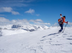
Mt. Watson is a beauty. It is one of the tallest peaks directly outside of the High Uintas Wilderness area and has a stunning East face that is very steep and littered with cliff bands. Many people hike around Mt. Watson in the summer, when the Mirror Lake Highway is open and the trailhead is eas...Read more -
Kamas, Utah
Hike Bald Mountain in the Uintas
4.54 mi / 1250 ft gainBald Mountain is one of the most popular hikes in the Uintas, so get an early start if you want to beat the crowds. Those willing to hike in before dawn will be rewarded with an unforgettable sunrise at the summit. I HIGHLY recommend this as a sunrise hike. The trail starts out with steep switchb...Read more -
Kamas, Utah
Photograph Bald Mountain in Utah
Bald Mountain is a 12,000' peak in the Uintas, and of the most popular hikes in the Uinta Mountains of Utah. If you're looking for more details on the hike, check out the adventure Hike Bald Mountain in the Uintas. Not only is it incredible to photograph from the top, with panoramic views of doze...Read more -
Kamas, Utah
Backpack to Notch Lake
5.04.6 mi / -600 ft gainThe hike to Notch Lake begins at the Bald Mountain trailhead. You'll need to display a recreation pass in your vehicle to park at the trailhead. You can purchase a pass for $6 at the fee station entering the forest boundary (east of Kamas) or at the Forest Service office right in Kamas. Take the ...Read more -
Kamas, Utah
Camp at Shallow Lake Meadow
Located 1.5 hours from Salt Lake Cityand just 1 hour from Park City this mountain meadow is a great placeto take your next adventure! Getting there was a piece of cake, theroad is mainly paved then turns to lava...I mean gravel for the lastmile. Along the road are several already established camp...Read more -
Evanston, Utah
Backpack Naturalist Basin and Summit Mount Agassiz
4.015 mi / 3700 ft gainNaturist Basin is a beautiful area in the High Uintas Wilderness with an abundance of mountains, lakes, meadows, and wildlife. It is best hiked July-September. To get to the trailhead, drive up the Mirror Lake Scenic Byway until you reach the Highline Trailhead Campground, about 3 miles past Mi...Read more -
Evanston, Utah
Hike to Hayden Peak in the High Uintas
3.63 mi / 2053 ft gainHayden Peak is by all means the monarch mountain of the Mirror Lake Highway. By that, I mean that Hayden Peak is easily the most rugged and impressive peak that can be viewed from the road. Driving over Bald Mountain Pass towards Evanston, WY, this peak looks amazing. There are few mountains out ...Read more -
Hanna, Utah
Hike to Cuberant Lake
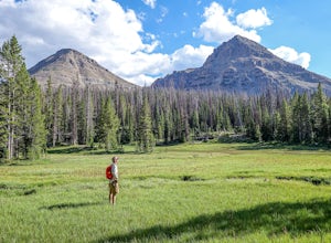
6 mi / 1066 ft gainThe hike to Cuberant Lake is 3-miles with a couple of steeper sections, but for the most part, it is a flat hike. From the Pass Lake Trailhead, you will head west on the Lofty Lake Loop Trail. On this part of the trail, you pass through meadows with Bald and Reid Peaks in the background, which is...Read more -
Hanna, Utah
Hike the Lofty Lake Loop Trail
4.54.2 mi / 935 ft gainLofty Lake Loop Trail is located in the High Uintas near Kamas, Utah. The trail can be found right off the Mirror Lake Scenic Byway about 32 miles east of Kamas and starts at the Pass Lake Trailhead. This is a fairly mellow trail with some areas of good elevation gain, enough to get your heart w...Read more -
Oakley, Utah
Backpack to Cutthroat Lake
4 mi / 280 ft gainThere isn't a trail to Cutthroat Lake so for a portion of the hike will be cross-country. I highly recommend bringing a GPS but with intermediate route-finding skills you should be able to find your way. We used the Gaia GPS app and this made the hike much easier. The distance depends on the r...Read more -
Oakley, Utah
Scale the Cliffs at Ruth Lake
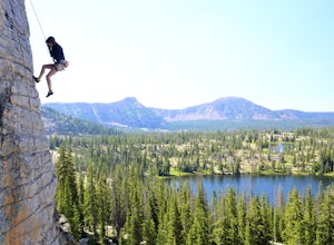
4.8Getting There From Evanston, take the Mirror Lake Highway 150 about 42 miles to the Ruth Lake trailhead and follow the easy hike up from the highway; just look for the signs directing you to Ruth Lake. The Trail/The Climbs Once on the trail, keep an eye out to your left and soon you'll see the cl...Read more
Top Activities
Camping and Lodging in Duchesne
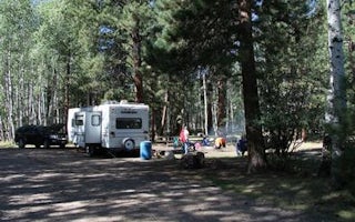
Altonah, Utah
Yellowstone Group Campground
Overview
Yellowstone Group Campground lies along its pretty namesake river on the southern slope of the Uinta Mountains, about 40 miles f...
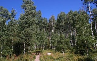
Hanna, Utah
Miners Gulch
Overview
Miners Gulch Campground is located next to Rock Creek in the Rock Creek Drainage at an elevation of 7,500 feet. The drainage sit...
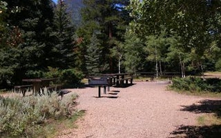
Hanna, Utah
Rock Creek Group
Overview
Rock Creek Group Campground is located next to Rock Creek in the Rock Creek Drainage at an elevation of 7200 feet. The drainage ...
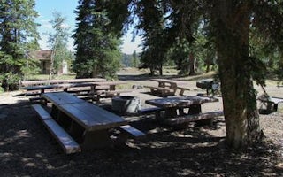
Duchesne, Utah
Avintaquin Campground
Overview
Avintaquin Campground is located atop scenic Indian Canyon, just off Highway 191 between Duchesne and Helper. Visitors come to t...
Duchesne County, Utah
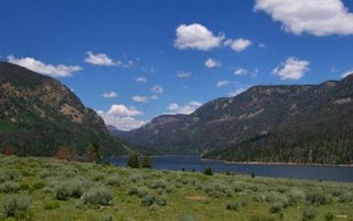
Moon Lake Group Campground
Overview
Moon Lake Group Campground is located on the shores of scenic Moon Lake on the southern slope of the Uinta Mountains. Visitors c...
Duchesne County, Utah
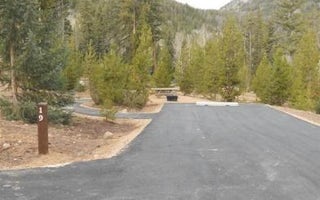
Moon Lake Campground
Overview
Moon Lake Campground is located on the shores of the scenic two mile long Moon Lake on the southern slope of the 13,000 foot pea...

