Antimony, Utah
Top Spots in and near Antimony
-
Sevier, Utah
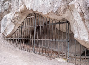
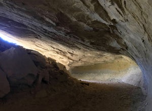
Cave of 100 Hands Trail
0.5 mi / 50 ft gainThe Cave of 100 Hands is a fascinating archeological/historical site that is easy all-ages and strollers. Over a thousand years ago, the valleys along what is now Interstate 70 near Sevier, Utah were home to the largest community of Fremont Indians ever discovered, and the Cave of 100 Hands has s...Read more -
Boulder, Utah
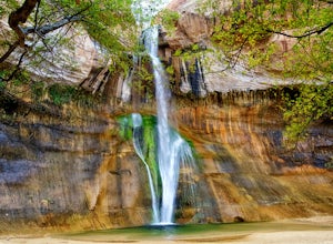
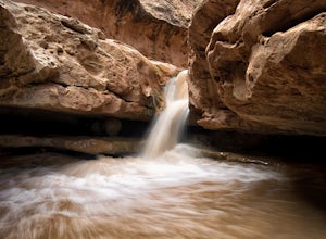
Lower Calf Creek Falls
4.65.74 mi / 515 ft gainThe trailhead for lower calf creek falls begins at the Calf Creek Campground. There is a small fee to park in the campground and a larger fee if you plan on camping in the campground. There is potable water and outhouses at the trailhead but parking can be difficult to find during the spring and ...Read more -
Boulder, Utah
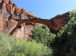
Escalante Natural Bridge
5.03.25 mi / 266 ft gainThis is a 3.2 mile hike in the Escalante River Canyon near Escalante, Utah. This hike features a number of brief river crossings, so be prepared to get wet! The hike traverses a number of small boulder fields and dense riverside vegetation before concluding at the Escalante Natural Bridge. This h...Read more -
Boulder, Utah
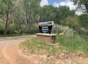
Camp at Deer Creek Campground
5.0Deer Creek campground is off of the Burr Scenic drive and right outside of the lower part of Capitol Reef National Park. This campground is perfect if you are driving from Bryce Canyon to Capitol Reef. There are a total of 7 tent sites in the campground. There are no spots for RVs and no turn aro...Read more -
Escalante, Utah
Covered Wagon Natural Bridge Trail
4.00.59 mi / 66 ft gainCovered Wagon Natural Bridge Trail is an out-and-back trail where you may see beautiful wildflowers located near Escalante, Utah.Read more -
Torrey, Utah
Capitol Reef's Sulphur Creek Route
4.85.87 mi / 1191 ft gainThis is a point-to-point hike that either requires a shuttle or 3 mile walk along highway 24. The starting trailhead is the Chimney Rock Trailhead which has limited parking. The ending trailhead is the Capitol Reef National Park Visitors Center. We only had one car so I dropped everyone off at th...Read more -
Torrey, Utah
Hike the Chimney Rock Loop, Capitol Reef NP
5.03.46 mi / 909 ft gainFrom the trailhead, the trek starts off pretty step. You will reach a fork near the top of the plateau which starts the official loop. At the junction go left (counterclockwise). The trail offers wonderful views along the way. The loop will bring you on top of "chimney rock" for views over Hwy 24...Read more -
Torrey, Utah
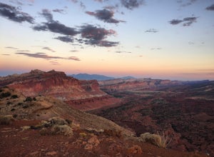
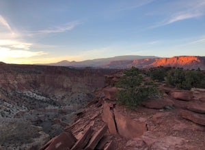
Sunset Point, Capitol Reef NP
2.53 mi / 1047 ft gainSunset Point Trail is an quick and easy 0.4 mile hike near the entrance of the park that provides you with beautiful views of the Capital Reef rim from the opposite side of the park. As the evening descends the setting sun illuminates the red rim rock formations giving them the best photographic ...Read more -
Henrieville, Utah
Angel's Palace Trail
5.0Kodachrome Basin State Park is located about 9 miles south of Cannonville which is on Highway 12 - midway between Bryce Canyon National Park and Escalante Petrified Forest State Park. It is slightly out of the way, but well worth the detour.Angel's Palace Trail is an excellent option if you have ...Read more -
Torrey, Utah
Drive the Scenic Drive in Capitol Reef National Park
5.0Inside Capitol Reed National Park there is a scenic drive. The drive you do have to pay for ($15 bucks a car) but considering the park is free, you may as well! The drive is about 8 miles long, with pull offs for ideal picture taking, the landscape is vast and ever changing with every turn, incl...Read more -
Fruita Campground, Utah
Explore the Orchards and Gifford House of Capitol Reef
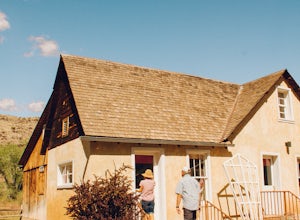
4.5Inside Capitol Reef National Park, you’ll find a wonderful treasure. There are acres of orchards inside the park, all of which you are welcome to roam around and explore, you’ll see old farms buildings from the Mormon settlers that came through that are still kept up! Not to mention they have hor...Read more -
Henrieville, Utah
Cottonwood Canyon Road
38.66 mi / 2192 ft gainCottonwood Canyon Road is a point-to-point trail that takes you by a river located near Cannonville, Utah.Read more -
Torrey, Utah
Grand Wash Trail, Capitol Reef National Park
4.37.09 mi / 1644 ft gainThe Grand Wash is a canyon in Capitol Reef National Park featuring several-hundred-foot-tall sandstone walls. The canyon walls are, for the most part, widely spaced, except for a half mile long section of scenic "narrows". Hike to nearby Cassidy Arch if you have extra time. Beware of potentiall...Read more -
Wayne County, Utah
Navajo Knobs
9.11 mi / 2018 ft gainNavajo Knobs is one of Capital Reef’s most spectacular hikes. It brings you, moderately, to one of Capital Reef’s most spectacular viewpoints of the main park’s viewpoints. (Tip: Upon arriving at the park the Ranger recommended this as her favorite hike, and it lived up to the hype! If you’re lo...Read more -
Wayne County, Utah
Hickman Natural Bridge Trail
4.51.82 mi / 413 ft gainStarting at 5350' in elevation, the hike to Hickman natural bridge is one of the best hikes in Capitol Reef National Park for families with small children. The hike is just under two miles round trip and doesn't include any steep or exposed sections. You'll begin your hike next to the Fremont Ri...Read more -
Torrey, Utah
Cassidy Arch Trail
4.43.08 mi / 1283 ft gainFollow the scenic road just past the Fruita Campground to the first dirt road on the left. The dirt road meanders through cool rock formations (great for night photography) and eventually dramatic cliffs that you will be climbing up. The parking area is obvious and there are primitive restrooms. ...Read more

