Antimony, Utah
Looking for the best photography in Antimony? We've got you covered with the top trails, trips, hiking, backpacking, camping and more around Antimony. The detailed guides, photos, and reviews are all submitted by the Outbound community.
Top Photography Spots in and near Antimony
-
Bryce, Utah
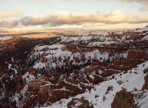
Bryce Canyon Scenic Drive
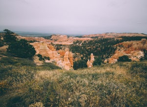
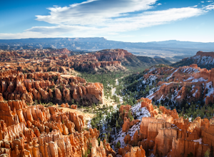
4.520.8 mi / 2516 ft gainInspiration Point: All who look out from this point are bound to be inspired. The intricacies of the hoodoos and their formation through the erosion of the Claron Formation is simply beautiful. You get the most spectacular perspective of the main amphitheater in Bryce Canyon here. Swamp Canyon: ...Read more -
Sevier, Utah
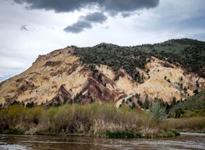
Photograph Big Rock Candy Mountain
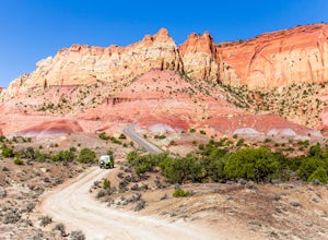
As you head south on Hwy 89 south of I-70 in central Utah, you wind through a picturesque canyon along the Sevier River. As the canyon opens up, Big Rock Candy Mountain's caramel colored hillside comes into full view. The caramel color is a stark contrast to the other mountains covered in pinion ...Read more -
Tropic, Utah
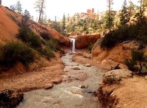
Hike Mossy Cave in Bryce Canyon
3.31 miThis short hike cannot be reached from the main area of Bryce Canyon, but with a 15 minute drive from the main entrance you can access this less crowded portion of the park. Check out a park map for the directions. This is very family-friendly, and is actually more of a "walk" than a "hike."It is...Read more -
Tropic, Utah
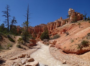
Hike the Tropic Ditch Trail
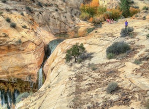
5.02 miFrom the Mossy Cave trailhead, follow the wide easy trail along the Tropic Ditch stream for .35 miles. At that point, the trail splits. To the left is Mossy Cave and to the right is Water Canyon Falls. The trail is lined with beautiful colored cliffs and hoodoos that Bryce Canyon is famous for. T...Read more -
Panguitch, Utah
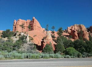
Drive the Scenic Byway 12 in Utah
5.0The Scenic HWY 12 is a great stretch en route to Bryce Canyon. Stop at the overlooks and take in the beautiful surrounding scenery. The red rocks are spectacular!Read more -
Escalante, Utah
Backpack the Escalante River
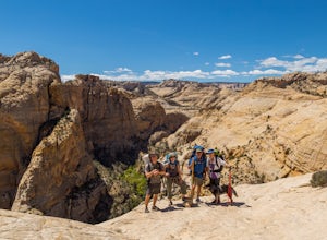
14 mi / 400 ft gainThe Escalante River trail is an easily accessible, moderately strenuous hike within Grand Staircase-Escalante National Monument. The national monument encompasses over 2 million acres of wilderness, choc-full of large canyons, narrow slot canyons, rivers, hoodoos, arches, natural bridges and more...Read more -
Bryce, Utah
Hike the Fairyland Loop Trail at Bryce Canyon NP
4.77.8 mi / 1545 ft gainLet's face it: Bryce Canyon National Park is stunning. Its remarkable and unique hoodoos bring people from all over the world, and lots of them. If you're looking to enjoy this incredible park with a little more solitude than the main lookouts or the more popular Under the Rim trail, make sure to...Read more -
Boulder, Utah
Backpack Death Hollow in Grand Staircase-Escalante
22 mi / 1600 ft gainThe most popular route into Death Hollow is from the Boulder airstrip near the town of Boulder, Utah. The trailhead for the Boulder Mail Trail begins, or ends here depending on which way you are hiking. Leave a car at the Highway 12 bridge over the Escalante River for the thru hike, or get luck...Read more -
Garfield County, Utah
Camp at Dave's Hollow Campground
4.2 mi / 800 ft gainWe all know the crowds well at our favorite National Parks, and Bryce Canyon is no exception. When you're looking to get a little further away from the noise, lights, and experience of a National Park campground, you often don't have to go very far off the main road. This adventure is for those w...Read more -
Boulder, Utah
Drive the Burr Trail Scenic Backway
5.066.2 mi / 4124 ft gainThe Burr Trail is a 66 miles mostly-paved road connecting Boulder, Utah / Highway 12 with the Notom-Bullfrog road that passes through some of the most scenic (and largely untouched) painted-rock backcountry in three of our national parks/monuments including Grand Staircase-Escalante, Capitol Reef...Read more -
Bryce Canyon City, Utah
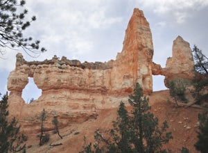
Tower Bridge via Fairyland Loop
4.03.56 mi / 935 ft gainGetting there is half the fun on this hike below the canyon rim. While there are fewer hoodoos in this area of the park, the scenery is still incredible and the crowds are much lighter. Starting at Sunrise Point, the trail boasts big views immediately. During the first mile you can look out a...Read more -
Bryce, Utah
Wall Street Loop in Bryce Canyon
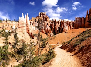
4.73.25 mi / 610 ft gainHoodoos? What's that you say? Hoodoos are these amazing rock formations that Bryce Canyon is famous for. This hike is hands down the best way to see the hoodoos of Bryce Canyon. This hike allows for stunning lookout points from the rim and the experience of hiking through the hoodoos of the cany...Read more -
Bryce, Utah
Navajo Loop and Queens Garden Trail
4.92.93 mi / 679 ft gainThere are many many trails that explore the hoodoos of Bryce Canyon and this is just one option of a combination of trails that is about 3.5 miles. The Navajo trail begins at Sunset Point and you head straight down dozens of switchbacks to what is called "Wall Street". It doesn't take long to get...Read more -
Bryce, Utah
Peek-a-Boo Loop in Bryce Canyon
4.54.98 mi / 1388 ft gainThis 5 mile hike begins at an elevation of 8000' at the Navajo Loop trailhead at Sunset Point. The view from the lookout of Sunset Point is only just a small taste of the sweeping vistas you will see on the hike. From Sunset Point follow the sign for the Navajo Trail and begin descending into a s...Read more -
Boulder, Utah
Upper Calf Creek Falls
5.01.76 mi / 571 ft gainFinding the trailhead for the Upper Calf Creek Falls can be a little difficult. Head east out of Escalante and follow highway 12 for about 20.6 miles. There will be a dirt turnout on the left hand side that leads to a dirt parking lot and a trail sign with registration for the Upper Calf Creek Fa...Read more -
Bryce, Utah
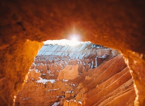
Winter Camping in Bryce Canyon National Park
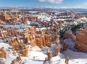
5.0The incredible views at Bryce Canyon National Park can be described with little else than a “Wow.” During a snowy winter, especially, these sights are not to be missed.There is only one campground open during the winter, Sunset Campground, and it is first come, first serve. Most visitors shy away...Read more

