Antimony, Utah
Looking for the best camping in Antimony? We've got you covered with the top trails, trips, hiking, backpacking, camping and more around Antimony. The detailed guides, photos, and reviews are all submitted by the Outbound community.
Top Camping Spots in and near Antimony
-
Escalante, Utah
Backpack the Escalante River
14 mi / 400 ft gainThe Escalante River trail is an easily accessible, moderately strenuous hike within Grand Staircase-Escalante National Monument. The national monument encompasses over 2 million acres of wilderness, choc-full of large canyons, narrow slot canyons, rivers, hoodoos, arches, natural bridges and more...Read more -
Escalante, Utah
Escalante River Trail: Escalante to UT-12
12.97 mi / 3373 ft gainEscalante River Trail: Escalante to UT-12 is a point-to-point trail that takes you by a river located near Eggnog, Utah.Read more -
Boulder, Utah
Backpack Death Hollow in Grand Staircase-Escalante
22 mi / 1600 ft gainThe most popular route into Death Hollow is from the Boulder airstrip near the town of Boulder, Utah. The trailhead for the Boulder Mail Trail begins, or ends here depending on which way you are hiking. Leave a car at the Highway 12 bridge over the Escalante River for the thru hike, or get luck...Read more -
Garfield County, Utah
Camp at Dave's Hollow Campground
4.2 mi / 800 ft gainWe all know the crowds well at our favorite National Parks, and Bryce Canyon is no exception. When you're looking to get a little further away from the noise, lights, and experience of a National Park campground, you often don't have to go very far off the main road. This adventure is for those w...Read more -
Boulder, Utah
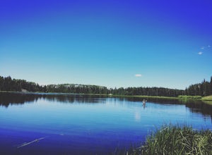
Camp and Fish Deer Creek Lake
2.7 mi / 702 ft gainThere is something magical about Deer Creek Lake. The views are amazing, the hike is revitalizing, and the mountain air speaks to your soul. Stars seem to shine brighter here than any other trip you will go on. Out here, it is you and the wild. You will be able to see fish colored with bright cut...Read more -
Boulder, Utah
Drive the Burr Trail Scenic Backway
5.066.2 mi / 4124 ft gainThe Burr Trail is a 66 miles mostly-paved road connecting Boulder, Utah / Highway 12 with the Notom-Bullfrog road that passes through some of the most scenic (and largely untouched) painted-rock backcountry in three of our national parks/monuments including Grand Staircase-Escalante, Capitol Reef...Read more -
Bryce, Utah
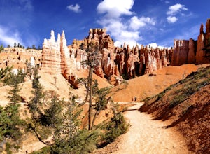
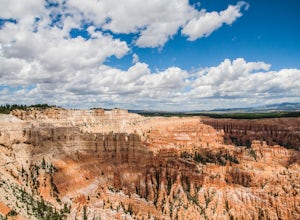
Navajo Loop and Queens Garden Trail
4.92.93 mi / 679 ft gainThere are many many trails that explore the hoodoos of Bryce Canyon and this is just one option of a combination of trails that is about 3.5 miles. The Navajo trail begins at Sunset Point and you head straight down dozens of switchbacks to what is called "Wall Street". It doesn't take long to get...Read more -
Bryce, Utah
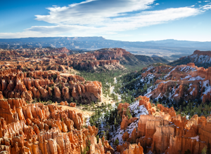
Winter Camping in Bryce Canyon National Park
5.0The incredible views at Bryce Canyon National Park can be described with little else than a “Wow.” During a snowy winter, especially, these sights are not to be missed.There is only one campground open during the winter, Sunset Campground, and it is first come, first serve. Most visitors shy away...Read more -
38.089236,-111.343124, Utah
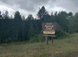
Camp at Oak Creek Campground
This campground is extremely easy to get to and is in a good location. It is located in the Dixie National Forest along Utah highway 12. The campground has a total of 9 spots most are good for small RV but nothing longer than 20ft. The campground has no electricity or water hookups but a water sp...Read more -
Sevier, Utah
Camp at Castle Rock Campground
Castle Rock Campground is located within Utah's Fremont Indian State Park just off Interstate 70, which according to the camp host, is a favorite place to camp for people traveling between California and Colorado. At 6,200 feet in elevation, the temps are manageable in the summer, and the large ...Read more -
Tropic, Utah
Under the Rim Trail to Swamp Canyon Camp
5.023.79 mi / 5794 ft gainThis trail is just about the only way I would see Bryce Canyon. When we initially drove in it was like we were at Disneyland, with crowds of people everywhere. We soon discovered, however, that very few people enter Bryce Canyon's backcountry. We chose to visit Bryce in July due to it's higher el...Read more -
Boulder, Utah
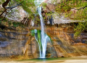
Lower Calf Creek Falls
4.65.74 mi / 515 ft gainThe trailhead for lower calf creek falls begins at the Calf Creek Campground. There is a small fee to park in the campground and a larger fee if you plan on camping in the campground. There is potable water and outhouses at the trailhead but parking can be difficult to find during the spring and ...Read more -
Boulder, Utah
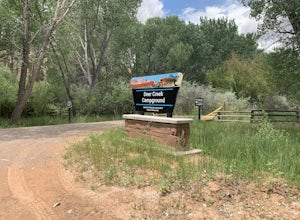
Camp at Deer Creek Campground
5.0Deer Creek campground is off of the Burr Scenic drive and right outside of the lower part of Capitol Reef National Park. This campground is perfect if you are driving from Bryce Canyon to Capitol Reef. There are a total of 7 tent sites in the campground. There are no spots for RVs and no turn aro...Read more -
Wayne County, Utah
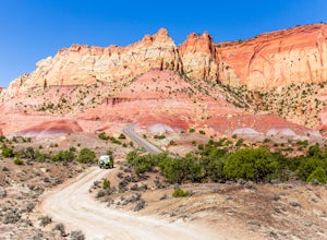
Drive the Cathedral Valley Loop
60 miThese set of roads are classified as 4x4 high clearance vehical roads. Not to mention this part of the park is remote and only about 10% of visitors access it. To get to Cathedral Valley, we were recommended to drive a “loop” by the park ranger, that entailed about 60 miles of high clearance dirt...Read more -
37.475289,-112.240302
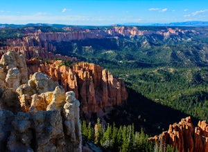
Hike Bryce Canyon's Riggs Spring Loop
5.08.71 mi / 2044 ft gainBryce Canyon National Park in Utah is a spectacular place. It really has to be seen to be believed. Some of the most scenic parts of Bryce are easily accessible by the average visitor via car-accessible overlooks. However, if you're not into crowds or want to hike/backpack in Bryce...there are so...Read more -
Cathedral Road, Utah
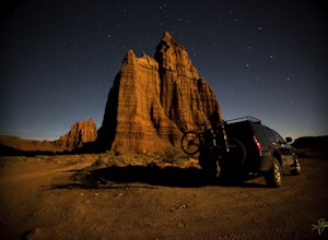
Camp and see the Temple of the Sun in Cathedral Valley
5.03 miCathedral Valley is a scenic backcountry area in Capitol Reef National Park. It is a remote, stark desert, characterized by amazingly beautiful sandstone monoliths that some say resemble cathedrals. Many of the valleys structures have interesting, highly descriptive names: Temple of the Sun, Temp...Read more

