Texas
Whether you're looking for adventure near a city like Austin, Houston, or Dallas, or headed into the remote and beautiful Big Bend National Park, we've got you covered with Texas sized adventures.
Top Spots in and near Texas
-
San Marcos, Texas
Hike Limbo, Dante, Old West, Beatrice, And Ovid East Loop
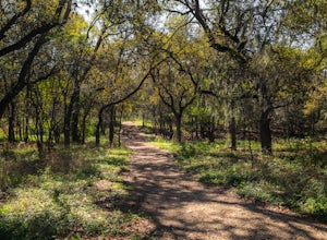
5.03 mi / 131 ft gainThe Limbo, Dante, Old West, Beatrice, and Ovid East Loop is a 2.98 mile loop trail that begins in Prospect Park and makes a loop around through the Purgatory Greenspace in San Marcos, Texas. The trail is mostly shaded and a little rocky at certain sections. However, this is a great hiking trail ...Read more -
Austin, Texas
Stephenson Preserve Loop
2.17 mi / 243 ft gainThe Stevenson Preserve Trail is a 1.5 mile loop hike located in South Austin. The outer trail makes a large loop around the entire park, however there are several interconnecting trails within the loop. This trail system is part of the Stephenson Preserve, which is also connected to the Longview ...Read more -
Culberson County, Texas
Smith Springs Loop
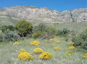
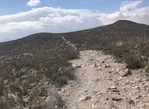
5.02.49 mi / 400 ft gainParked at the trail head of Frijoles Ranch. Started my hike on the paved trail to Manzanita springs. After that the trail winds trough desert landscape with numerous desert wildflowers in the early fall, The trail ends up at the base of the mountains where I saw the springs. Returned to the park...Read more -
Mexia, Texas
Springfield Nature Trail
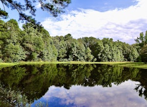
5.02.62 mi / 236 ft gainSpringfield Nature Trail is a loop trail that runs along the southeast side of Springfield Lake in Fort Parker State Park located near Mexia, TX. This trail is used by both hikers and runners and is family friendly. Dogs are permitted on this trail.Read more -
Concan, Texas
Crystal Cave via Foshee and Old Horse Trail
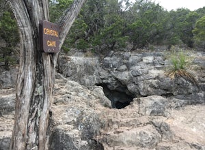
5.02.55 mi / 499 ft gainCrystal Cave via Foshee and Old Horse Trail is a loop trail that takes you past a cave located near Rio Frio, TX.Read more -
Johnson City, Texas
Hike Wolf Mountain, Juniper Ridge And South Loop Equestrian Trail
6.6 mi / 374 ft gainThe Wolf Mountain, Juniper Ridge and South Loop Equestrian Trail is a 6.6 mile loop hike within Pedernales Falls State Park, right outside of Johnson City, Texas. The trail is pretty wide and great for all sorts of exercising and social distancing. The trail is relatively moderate, with few incl...Read more -
Austin, Texas
Hike Valburn Switchback Party
1.1 mi / 203 ft gainThe Valburn Switchback Party is a 1.1 mile loop hike located within the Bull Creek Greenbelt of northwest Austin. This trail is part of the Valburn trail system and is mostly shaded. It features several mild inclines and the switchbacks on the trail are decently moderate. It's a great exercising ...Read more -
Pittsburg, Texas
Lake Bob Trail Loop
5.06.29 mi / 351 ft gainLake Bob Trail in Lake Bob Sandlin State Park is a 6.3 loop trail where you may see beautiful wild flowers located near Winfield, TX. The trail is well-marked and has signs describing the flowers and plants you see along the trail. There are a few ups and downs along the trail, but not major elev...Read more -
1700 McKinley Avenue, Texas
Hike the Ranger Peak and Directissimo Trails
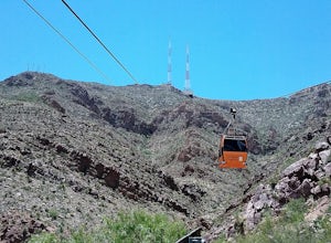
5.02.6 mi / 1230 ft gainTake the Aerial Tramway up to the top. The ride up is short but scenic. Once on the platform, hike the Ranger Peak Trail which affords you good views of the El Paso area and the Franklin Mountains. Return to the parking lot below via the Directissimo trail, which is a rather steep and difficult t...Read more -
El Paso, Texas
Hike Franklin Mountains Ridgeline Hike
5.010.3 mi / 3946 ft gainNote that this trail is only recommended for very experienced or expert hikers. There are some short sections that require rock climbing and there are steep cliffs. Significant upper body strength is needed. If you decide to do the full trail, bring lots of water and food for hydration and energy...Read more -
Mexia, Texas
Navasota River Trail
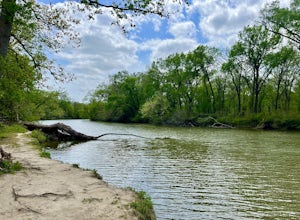
5.03.37 mi / 197 ft gainNavasota River Trail is an approximately 3.4 mile out and back trail following along the Navasota with several viewpoints located near Mexia, TX. This is a great trail for hiking, running, or simply stretching your legs. Dogs are welcome on the trail on-leash.Read more -
El Paso, Texas
Hike the Agave Loop Trail
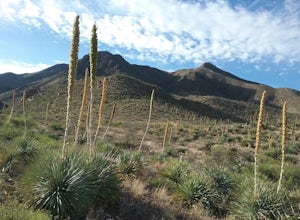
1.9 mi / 370 ft gainStart your hike at the West Cottonwood trail parking lot. The ascent on the trail is not too difficult. First the trail will take you to the top of the Sneed Cory with good views of the State Park. After that, continue up the mountainside, which has with lots of sotols and agaves as well as many ...Read more -
Amarillo, Texas
Explore the Route 66 Historic District of Amarillo
Just off I-40, this charming area is worth stretching your legs and working the camera lenses. I took Georgia Street a few minutes northward to Sixth Avenue and easily found parking near several welcoming shops. I certainly perused the local fares for merch and memorabilia, as there were so many ...Read more -
Austin, Texas
Hike Main Trail to Meadow Loop to Taylor Creek Loop
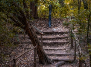
0.6 mi / 55 ft gainThe Main Trail to Meadow Loop to Taylor Creek Loop is a 0.6 loop hike found within Mayfield Park just west of downtown Austin. The trail is completely shaded and is a relatively easy hike. The trail does descend down stairs in some spots, but nothing too significant. This is a great family trail ...Read more -
Big Bend National Park, Texas
Hike Oak Spring Trail
5.07.4 mi / 1 ft gainOak Spring Trail is a 4.3 mile out and back hike where you may see beautiful wild flowers located near Big Bend National Park, TX.Read more -
Fort Davis, Texas
Clayton’s Overlook Loop
5.01.5 miClayton’s Overlook is a moderate hike at the Chihuahuan Desert Nature Research Center. This climb will take you to the highest spot in the park. Visit the Chihuhuan Desert Institute website for an area map and additional information.Read more

