New Braunfels, Texas
Looking for the best photography in New Braunfels? We've got you covered with the top trails, trips, hiking, backpacking, camping and more around New Braunfels. The detailed guides, photos, and reviews are all submitted by the Outbound community.
Top Photography Spots in and near New Braunfels
-
San Marcos, Texas
Hike Spring Lake Wetland Walk
5.00.7 mi / 6 ft gainThe Spring Lake Wetland Walk is a 0.7 mile loop hike located in The Meadows Center for Water and Environment. It's a great walk with a self-guided tour purposed for learning about the surrounding nature, wildlife, and invasive species. This area is not particularly great for exercising or anythin...Read more -
San Antonio, Texas
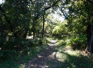
Hike the Mud Creek Loop at McAllister Park
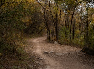
1.5 mi / 181 ft gainI love McAllister Park. Sure it can get a little stinky after the torrential Texas rains sweep through, but on a clear, dry day you can always find a new and LOVELY trail. The Mud Creek Loop (or the Green Loop) is a 1.5 mile dirt trail used by hikers and mountain bikers. The trail itself is rela...Read more -
Niederwald, Texas
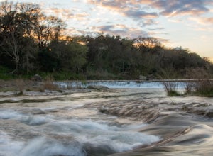
Explore the Five Mile Dam Park
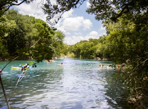
Located about 6 miles from downtown San Marcos, the Five Mile Dam Park is a popular destination for swimming, boating, and other outdoor activities. It has a large flat field for playing soccer as well as many bathrooms. The Blanco River flows through the park and as the name implies, there is a ...Read more -
San Antonio, Texas
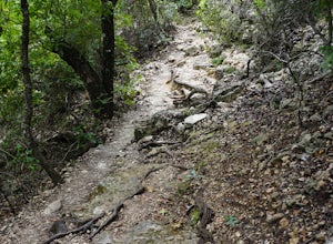
Hike Cedar Flats Trail at Eisenhower Park
4.02 mi / 170 ft gainEisenhower Park is located on the north side of San Antonio, outside of loop 1604. Take the road to Camp Bullis, and you'll see the entrance to the park on your left a few hundred feet before the gate to the military base. The Cedar Flats trail will get you to your destination. It's an easy mile ...Read more -
San Antonio, Texas
Hike the Vista Loop at Friedrich Wilderness Park
3.73 mi / 85 ft gainJust north of 1604, off I10 is Friedrich Wilderness Park. This park, within the city limits of San Antonio, has about 10 miles of hiking trails varying from paved and appropriate for all ages and abilities, to challenging uphills and quick drop offs.This is just for pedestrian, so if you have a b...Read more -
Austin, Texas
Hike Mary Moore Searight Park Trail
2.1 mi / 65 ft gainThe outer loop trail at Mary Moore Searight park is 2.1 miles and is interconnected by several smaller trails, which can be used to shorten the length of the hike. The trail is relatively easy with very few inclines and declines. The trail is mostly very thin crushed gravel and great for an easy ...Read more -
Travis County, Texas
Hike Violet Crown Trail: Zilker to 360 Trailhead
3.03.7 mi / 282 ft gainThe Violet Crown Trail: Zilker to 360 is 3.7 mile out-and-back stretch through the Barton Creek Greenbelt. The trail begins in Zilker Park and follows Barton Creek all the way south to Loop 360. Parking can be found at Zilker Park. Though on weekends and during the summer time, the park is usuall...Read more -
Austin, Texas
Visit the Cathedral of Junk
4.7The Cathedral of Junk is a hidden gem within the Austin City Limits, actually located in the Artists backyard. Construction was started back in 1988 by Vince Hahnemann and he still continues to add to it to this day! Climb to the top of the tower to rock out on the drum set or maybe even catch a ...Read more -
Austin, Texas
Twin Falls and Sculpture Falls via Barton Creek Greenbelt Trail
3.03.23 mi / 141 ft gainThis hike is about 3.2 miles in total and is an out-and-back trail found within the Barton Creek Greenbelt stretch. The trail follows along the Barton Creek and is popularly known for the two major waterfalls it entails: Twin Falls and Sculpture Falls, which are very popular swimming destinations...Read more -
Austin, Texas
Hike the Violet Crown Trail: 360 to 290 Trailhead
1.8 mi / 239 ft gainThe Violet Crown Trail: 360 Trailhead to 290 trail is a 1.8 mile point-to-point hike that stretches from Loop 360 to Highway 290. Only a portion of the trail follows alongside Barton Creek before heading south towards HWY 290 while the creek veers off to the west. Dogs are more than welcome as lo...Read more -
Austin, Texas
Hike Barton Greenbelt Trail Via Barton Creek Plaza
6.6 mi / 380 ft gainThe Barton Greenbelt Trail via Barton Creek Plaza is a 6.6 mile out-and-back hike located within the Barton Creek Greenbelt. This trail follows along the creek and features a couple prominent waterfalls that also serve as popular swimming holes in the summer months. Depending on the rainfall for ...Read more -
Austin, Texas
Rock Climb at Gus Fruh
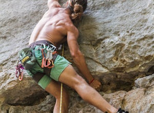
0.5 mi / 50 ft gainNOTICE:For this activity it is necessary to have someone with lead climbing and belaying expertise. There is a wide range of difficulties on the routes. A guide that has climbed at this wall before is recommended. GETTING THERE:You can enter Gus Fruh from a couple of different points starting in ...Read more -
Austin, Texas
Swim at Gus Fruh
4.00.26 mi / 79 ft gainThe trailheads are located in neighborhoods and parking isn't really too much of an issue. The shortest entrance is located off Barton Hills Dr. A quick google search and you will find it and the labeled trail. You walk down into the Barton Creek Green Belt and your spirits are uplifted. That cra...Read more -
Barton Creek Greenbelt: Trail 11, Texas
Barton Creek Greenbelt Trail via Spyglass Trailhead
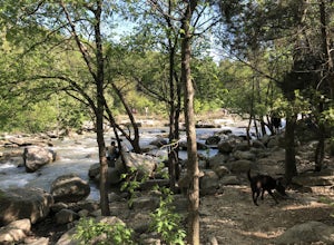
5.03.03 mi / 128 ft gainOutside of the fantastic job market, one of the most magical things about Austin is how quickly you can go from city life to being immersed in nature. Nearly every day, I take a quick jaunt down to the Barton Creek Greenbelt with my trusty companion, Sage the Chocolate Lab. We live within walking...Read more -
Austin, Texas
Hike Hill of Life Hiking Trail
4.53.1 mi / 328 ft gainThe Hill of Life hiking trail is an out-and-back hiking trail around 3 miles long total. Parking is parallel parking on the street and can be found in the neighborhood where the trailhead is located. The trail begins with a half mile descent down a very rocky and gravel-ridden trail. The descent ...Read more -
Round Mountain, Texas
Explore Westcave Outdoor Discovery Center
0.7 mi / 80 ft gainLocated about 25 miles from downtown Austin, Westcave Preserve is a beautiful and family-friendly day adventure. The trail is out-and-back about .7 miles long. It leads down into a very lush green canyon filled with a variety of plant species and ferns. At the end of the trail is the main feature...Read more


