New Braunfels, Texas
Looking for the best photography in New Braunfels? We've got you covered with the top trails, trips, hiking, backpacking, camping and more around New Braunfels. The detailed guides, photos, and reviews are all submitted by the Outbound community.
Top Photography Spots in and near New Braunfels
-
Dripping Springs, Texas
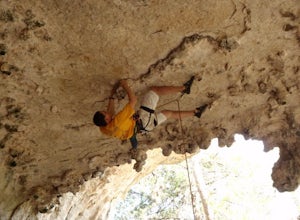
Sport Climbing at Milton Reimer's Ranch
5.0Milton Reimer's Ranch is a limestone sport-climbing crag in Dripping Springs, Texas near Austin, Texas with hundreds of routes. The park is divided into two main sections--Reimer's and North Shore, each with their own parking lot. Approaches are quite easy and well marked. The original Reimer's a...Read more -
Austin, Texas
Bike through Iconic Graffiti Landmarks in Austin
5.0You don't have to rent a bike but it's the "Austin" thing to do. With plenty of pick up and drop off locations all throughout the city you can start the trip and end it whenever you feel like it! It's recommended to start the trip on South Congress at the bike rental located near Doc's Motorworks...Read more -
Dripping Springs, Texas
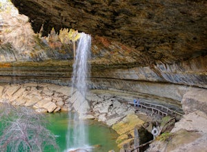
Swim at Hamilton Pool Preserve
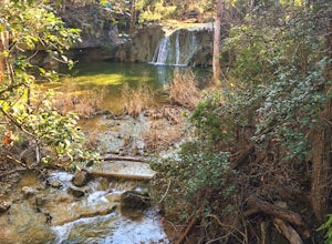
4.10.46 mi / 26 ft gainHamilton Pool Preserve, about a 45 minute drive from Austin, TX, is one of the most beautiful places to spend a hot, Texas afternoon. A short hike from the parking lot through a wooded forest opens up onto a scenic, natural pool. The small beach to one side is usually dotted with sunbathers and p...Read more -
Johnson City, Texas
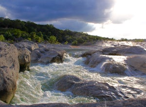
Explore Pedernales Falls
4.80.6 mi / 104 ft gainPedernales Falls drops 50 feet in elevation over 3,000 feet of titled, layered steps of limestone along the Pedernales River in Blanco County. In order to reach the falls you must enter Pedernales Falls State Park and follow the park road until the very end. There you'll find a parking lot and it...Read more -
Austin, Texas
Catch a Sunrise at the Look Out Point
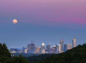
0.1 miThis look out point is less than a quarter mile hike and is located within the Rollingwood neighborhood, just west of Loop 1 (Mopac Expressway). It faces east and is a great location for catching sunrise. The trail to the overlook is crushed gravel, but is very flat. This overlook is kid- and dog...Read more -
Austin, Texas
Hike along Lady Bird Hike & Bike Trail
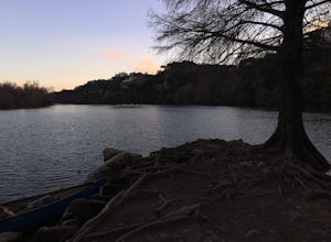
10 miThe Hike and Bike Trail around Lady Bird Lake provides great views of the city skyline from several different perspectives. It's perfect for exercising or just taking a stroll on. It's about a 10 mile looping trail however there are several points in which you can cross the river and make the loo...Read more -
Austin, Texas
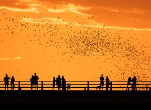
Watch the Mexican-Free-Tailed Bats Emerge from Congress Street Bridge
Every evening, just as the sun sets, you can watch the 1.5 million bats take flight into the evening sky. This is great family fun and a must if you visit/are new to Austin. Parking is easy and nearby, however it is paid. There is a separate lot located in the Austin American Stateman parking lot...Read more -
Austin, Texas
Take a Stroll around Red Bud Isle
1 mi / 0 ft gainThis small isle is a nice feature of the section of the Colorado River that flows through Austin. The isle is pretty small and is a good scenic location for a quick 1-2 hour outing. All the trails are pretty flat and easy to walk. Definitely worth checking out if you are looking for a nice park i...Read more -
Austin, Texas
Wild Basin Wilderness Preserve Loop
4.01.8 mi / 262 ft gainWild Basin Wilderness Preserve is managed as part of the Balcones Canyonlands Preserve and consists of 227 acres of beautiful Hill Country woodlands owned jointly by Travis County (164.4 acres) and St. Edwards University (62.6 acres). Wild Basin is open to visitors who can hike the 2.5 miles of t...Read more -
Austin, Texas
Watch the Sunrise at Highway Scenic Overlook
This spot is located right off of the North Capital of Texas Highway (Loop 360) on the west side of Austin. It faces east and is perfect for catching the sunrise over the city or just overall chillin'. It provides easy and accessible parking. It's a popular spot for sunset and sunrise. There are ...Read more -
Austin, Texas
University of Texas Walk
2.99 mi / 197 ft gainThe University of Texas Walk is about a 3-mile loop trail around the University of Texas at Austin. Beginning at the LBJ Presidential Library, the trail loops around all of UT's most prominent landmarks, including the LBJ fountain, the Blanton Museum of Art and of course the renowned school tower...Read more -
Austin, Texas
Turkey Creek Trail
2.72 mi / 259 ft gainTurkey Creek trail is a 2.7 mile out-and-back hike located within Emma Long Metropolitan Park in Northwest Austin, Texas. This trail is perfect for cycling, running, walking, and general exercise. The trail is made of dirt with few inclines. Please note, however, at the beginning of the trail the...Read more -
Austin, Texas
Hike Main Trail to Meadow Loop to Taylor Creek Loop
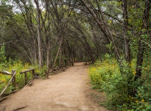
0.6 mi / 55 ft gainThe Main Trail to Meadow Loop to Taylor Creek Loop is a 0.6 loop hike found within Mayfield Park just west of downtown Austin. The trail is completely shaded and is a relatively easy hike. The trail does descend down stairs in some spots, but nothing too significant. This is a great family trail ...Read more -
Austin, Texas
Hike the Mayfield Park Lake Trail
3.01 mi / 0 ft gainMayfield Nature Preserve is a 21-acre park located just west of downtown Austin, Texas. This nature preserve is unique from all other parks in Austin in that it that features free-roaming peacocks. It's a beautiful park full of beautiful nature and the trail leads down near the lake. The trail is...Read more -
Austin, Texas
Photograph Pennybacker Bridge (Austin 360 Bridge)
4.30.5 mi / 75 ft gainIf you're looking for excellent views of hill country, the skyline, or just an awesome place to watch the sunset this is the place to be. If you're heading southbound from 183 on 360 just before you reach the bridge there will be a dirt parking lot on your right. There are trailheads on the easts...Read more

