Bertram, Texas
Top Spots in and near Bertram
-
Austin, Texas
Swim and Relax at Common's Ford Ranch
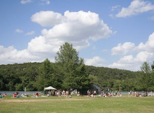
3.0Commons Ford is a lakefront park offering a boathouse that can be reserved, fishing, volleyball net and picnicking. Many people go to the park with the expectation of lounging on the large grassy area for many hours so be sure to pack food, blankets, sunscreen, and tubes if you plan to float in ...Read more -
Bend, Texas
Hike to Spicewood Springs via Spicewood Canyon Trail
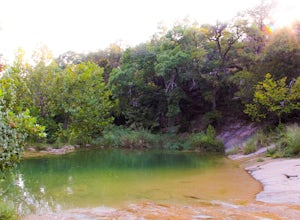
5.03.81 mi / 367 ft gainSpicewood Spring is a spring-fed swimming hole in Colorado Bend State Park and can be reached in one of two ways. There is an out and back trail that will take about 3.6 miles round trip if you just want to swim, but I prefer turning it into a scenic hike that takes you through Spicewood Canyon a...Read more -
Austin, Texas
Bull Creek Trail
4.04.04 mi / 531 ft gainThe Bull Creek trail is a dog-friendly loop trail found in the Bull Creek Greenbelt area of northwest Austin, Texas. This trail, which may be confused with the South-to-North Bull Creek Trail, actually does not follow the creek and instead winds around the hills of the Austin Hill Country. The t...Read more -
Austin, Texas
Hike Lost Trail
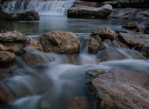
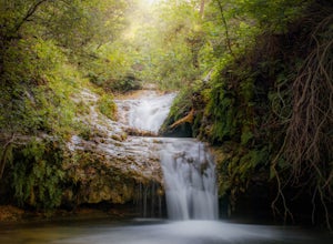
1.5 mi / 52 ft gainLost Trail is a 1.3 mile loop hike through the Upper Bull Creek Greenbelt in northwest Austin, Texas. The trail features a beautiful waterfall, an abundance of wildlife and wildflowers, several benches, and many beautiful scenes. During the wet season, the creek fills up and flows very nicely. T...Read more -
Austin, Texas
Hike Valburn Switchback Party
1.1 mi / 203 ft gainThe Valburn Switchback Party is a 1.1 mile loop hike located within the Bull Creek Greenbelt of northwest Austin. This trail is part of the Valburn trail system and is mostly shaded. It features several mild inclines and the switchbacks on the trail are decently moderate. It's a great exercising ...Read more -
Austin, Texas
Hike Valburn South Loop
1.02.3 mi / 334 ft gainThe Valburn South Loop is a 2.3 mile loop trail within the Bull Creek Greenbelt in Northwest Austin, Texas. The trail is known for its grand views of the surrounding Hill Country. The trail is shaded for the most part and is pretty rocky, good shoes are highly recommended. The trail is made up of...Read more -
Austin, Texas
Valburn to Bull Creek Loop
1.6 mi / 170 ft gainThe Valburn to Bull Creek Loop is a 1.6 mile loop hike through the Bull Creek Greenbelt located in Northwest Austin, Texas. The trail follows alongside the creek and is pretty rocky and steep with many changes in elevation. The trail is very scenic and has many wildlife watching opportunities, a...Read more -
Austin, Texas
Hike the Lower Bull Creek Greenbelt Trail
5.02.86 mi / 78 ft gainPark in the lot off of Lakewood Drive (see map) to access the trail. This trail is good for all skill levels and is dog-friendly.Read more -
Austin, Texas
Bull Creek South to North
3.67 mi / 335 ft gainThe Bull Creek Trail is an Out-and-Back trail along Bull Creek; it's a pretty beginner to intermediate hike. The trail follows along Bull Creek which runs between the hills of the Austin Hill Country. There are several waterfalls which can be found along the creek. The trail has multiple access p...Read more -
Johnson City, Texas
Explore Pedernales Falls
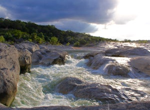
4.80.6 mi / 104 ft gainPedernales Falls drops 50 feet in elevation over 3,000 feet of titled, layered steps of limestone along the Pedernales River in Blanco County. In order to reach the falls you must enter Pedernales Falls State Park and follow the park road until the very end. There you'll find a parking lot and it...Read more -
Austin, Texas
Turkey Creek Trail
2.72 mi / 259 ft gainTurkey Creek trail is a 2.7 mile out-and-back hike located within Emma Long Metropolitan Park in Northwest Austin, Texas. This trail is perfect for cycling, running, walking, and general exercise. The trail is made of dirt with few inclines. Please note, however, at the beginning of the trail the...Read more -
Austin, Texas
Photograph Pennybacker Bridge (Austin 360 Bridge)
4.30.5 mi / 75 ft gainIf you're looking for excellent views of hill country, the skyline, or just an awesome place to watch the sunset this is the place to be. If you're heading southbound from 183 on 360 just before you reach the bridge there will be a dirt parking lot on your right. There are trailheads on the easts...Read more -
Austin, Texas
Hike the 360/Pennybacker Bridge Overlook Trail
1.8 mi / 167 ft gainThis is a pretty challenging hike but the view is most definitely worth the effort. There are two sides you can hike up on: the east and west. The west side is more popular as it gives a view of the Austin skyline as well the Pennybacker Bridge. However, the east side is good for sunset viewing. ...Read more -
Round Mountain, Texas
Twin Falls Nature Trail at Pedernales Falls State Park
0.51 mi / 75 ft gainTwin Falls Nature Trail is a half mile loop trail located within Pedernales Falls State Park between Dripping Springs and Johnson, City, Texas. The trail head is located near the campgrounds and parking can be found near the bathrooms. It is an easy trail with a very slight descent. The trail its...Read more -
Johnson City, Texas
Hike the Wolf Mountain Trail
7.4 mi / 416 ft gainThe Wolf Mountain Trail is a 7.2 mile loop hike within Pedernales Falls State Park, right outside of Johnson City, Texas. The trail is pretty wide and great for all sorts of exercising and social distancing. The trail is relatively moderate and well maintained. There is little shade but it is st...Read more -
Austin, Texas
Hike Walnut Creek Metro Loop
4.08.8 mi / 534 ft gainWalnut Creek Metro Loop is an 8.8 mile loop hike located within Walnut Creek Metro Park in north Austin, Texas. The trail is moderately hiked and relatively easy. It's great for walking/running/cycling. There are many smaller trails that connect portions of the main loop and it's easy to get conf...Read more

