Grandview, Tennessee
Top Spots in and near Grandview
-
Sparta, Tennessee
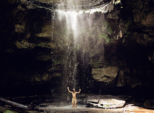
Hike to Lost Creek Falls
5.00.16 mi / 62 ft gainGPS Coordinates: 35.84102,-85.36123 Why We Love It: NO CROWDS- We only came across a few other people so, it’s a little more low key than some other popular Tennessee waterfalls. DISNEY LOVED IT- This was a filming location for Disney’s 1994 The Jungle Book!CAVE- Across the path there is a lar...Read more -
Oak Ridge, Tennessee
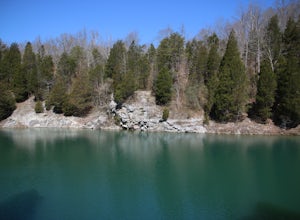
Hike to North Boundary Quarry
5.01 mi / 100 ft gainThe parking at the trailhead is right off of the Oak Ridge turnpike so its very easy to park and there are plenty of spots to park. The trail is very wide and is a great place for taking kids and riding your bike. There are more than one trail that you can take to get to the quarry from the trail...Read more -
Wartburg, Tennessee
Old Mac Mountain and Frozen Head Firetower
6.42 mi / 1906 ft gainOld Mac Mountain and Frozen Head Firetower is an out-and-back trail that takes you past scenic surroundings located near Wartburg, Tennessee.Read more -
Wartburg, Tennessee
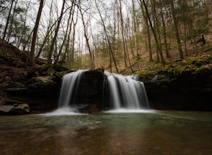
Hike to Debord and Emory Gap Falls in Frozen Head SP
4.33.2 mi / 465 ft gainThe trail head begins just over the bridge and is labeled as the Panther Branch trail head. To began you will continue straight and within .6 miles of hiking you will come to the first waterfall on a branch off on the right side of the trail. This first waterfall is Debord Falls and it can be eas...Read more -
Wartburg, Tennessee
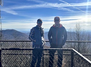
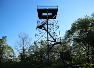
Hike to Frozen Head State Park Fire Tower
4.54.5 mi / 1300 ft gainTo get to this hike the easiest way is to go up Petros hwy near the closed Brushy Mountain State prison. The trailhead is a large gravel lot on the side of the road. The trail is an old road so it is wide and well taken care of. However, the trail is very steep all the way up. The trail has only ...Read more -
Tellico Plains, Tennessee
Drive the Cherohala Skyway National Scenic Byway
5.0The Cherohala Skway is one of the National Scenic byways in America it spans over 43 curvy miles from Tellico Planes, Tennessee to Robbinsville, North Carolina. On the Skyway there are many overlooks ranging elevations from 2000-5200 feet all have beautiful views and different view points. The pa...Read more -
Soddy-Daisy, Tennessee
Bouldering Stone Fort, TN
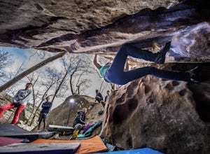
4.50.25 miStone Fort sits atop the Cumberland Plateau just half an hour from downtown Chattanooga, and is one of the premiere bouldering locations in the Southeast. One of the three sites of the annual Triple Crown Bouldering competition, Stone Fort offers a wealth of climbing problems for any climber's a...Read more -
Soddy-Daisy, Tennessee
Hike the Hogskin Upper and Lower Loop
5.01.4 miAfter an easy 25 minute drive from Chattanooga you will reach North Chickamauga Gorge on Montlake Road in Soddy Daisy. Park any where in the gravel loop just make sure other cars can get through. From the Montlake Road Trailhead Kiosk the trail begins on an old mining road. Hogskin Upper Loop Tr...Read more -
Soddy-Daisy, Tennessee
Hike the Hogskin Loop to Stripmine Falls
2.51.3 miStripmine Falls is not the biggest waterfall in the area, but it is both beautiful and accessible with just a short and easy out-and-back (or loop) hike. The additional attraction of cool swimming pools along Chickamauga creek make this an ideal destination for a day full of relaxation and adven...Read more -
Tellico Plains, Tennessee
Hike to Conasauga Falls
4.51.5 mi / 400 ft gainGetting to the trailhead can be a challenge if there has been any heavy precipitation or icy conditions due to the fact the last two miles are one mile of broken pavement and the last mile a dirt road. You should be fine in good conditions in any car; however, just make sure to take it easy on th...Read more -
Jamestown, Tennessee
Northrup Falls
4.21.39 mi / 98 ft gainTruly a hidden gem, this trail seems to get little to no attention, yet is absolutely amazing. To get to the trail from I-40 near Crossville, Tennessee, take Highway 127 north toward Jamestown. Before getting to Jamestown, turn right on State Route 296 east, toward the town of Allardt. In Allardt...Read more -
Benton, Tennessee
Hike to Benton Falls
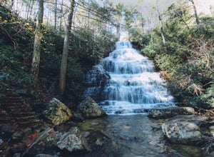
5.03.2 mi / 318 ft gainStart this hike from the parking lot of the Chilhowee Day Use Area (here you must remember to bring $3 cash to pay the day use fee). To begin, walk along the path to the left of the facilities until you come to the trailhead. Start here continuing along the left-side of the lake. After passing t...Read more -
Ocoee, Tennessee
Whitewater Raft the Middle Ocoee River
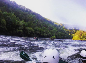
5.0The middle Ocoee River offers Class III and Class IV rapids through the southern Appalachian Mountains. Those with their own vessels can put into the river just below the Ocoee #2 TVA Dam. For those who do not have a vessel, there are numerous river guide companies who offer guided adventures. Th...Read more -
Rock Island, Tennessee
Twin Falls, Rock Island State Park
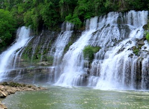
4.40.3 mi / 125 ft gainUpon entering Rock Island State Park from the east, the parking area for this trail is located right after the old cotton mill (my friend and I actually ended up getting lost because it is tucked away there quite nicely). The trail that leads to Twin Falls actually starts at the westernmost part ...Read more -
Rock Island, Tennessee
Camp at Rock Island State Park
4.8This little campground is nestled in Rock Island State Park. There are two campgrounds, this one is specifically tents only. Each campsite is pull in and provides you with enough room to set up two tents. In addition each campsite has a four sided picnic bench, fire pit, trash can, charcoal grill...Read more -
Palmer, Tennessee
Hike the North Plateau-North Rim Loop at Savage Gulf
4.014.7 mi / 2483 ft gainFrom the Savage Ranger Station, take the Savage Day Loop for roughly 2.2 miles until you reach the junction. From there take the North Plateau trail and return on the North Rim trail. The elevation gain on this trail is rather gradual and and subtle, but it is a long trek that requires endurance ...Read more

