Newcastle, South Dakota
Top Spots in and near Newcastle
-
Hermosa, South Dakota
Explore the Spokane Ghost Town
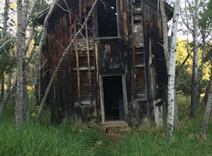
1 mi / 4521 ft gainSpokane will always be one of my favorite locations in the hills. The town was founded in 1890 and features 3 intact structures from that time. The most intact structure is the manager's house which you can find up on a hill behind the other buildings. A few years ago the old school house finally...Read more -
Custer, South Dakota
Hike the Lookout Point Loop at Wind Cave National Park
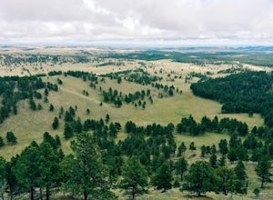
3.54.5 miThe Lookout Point Loop actually combines parts of three trails to bring you through some of Wind Cave's best prairieland. Begin at the trailhead for Centennial and Lookout Point off of Hwy 87 and take Lookout Point trail east to Beaver Creek. At Beaver Creek, you'll catch the Highland Creek Trail...Read more -
Keystone, South Dakota
Hippie Hole
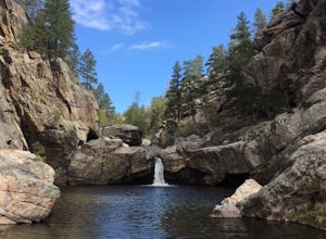
4.80.3 miWhile making your way to the parking area, you'll keep right for the most part. You'll also need a high clearance vehicle or the patience to drive very slowly. The dirt road to the trailhead is full of dips, holes, rocks, and essentially could be a close relative of off roading. If you do not hav...Read more -
Hot Springs, South Dakota
Camp at Elk Mountain Campground in Wind Cave National Park
4.0Elk Mountain Campground is in a secluded area of the park, providing plenty of peace and quiet. Sites operate on a first come, first serve basis, although the campground was less than half full when we stayed in the middle of busy summer months. There are about 64 sites available in the campgroun...Read more -
Custer, South Dakota
Drive the Custer State Park Wildlife Loop
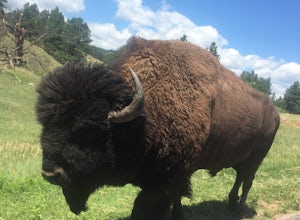
4.7The Custer State Park Wildlife Loop runs for 18 miles across beautiful grasslands and pine-speckled slopes that are home to much of the park's wildlife. Bison, pronghorn, whitetail, mule deer, elk, coyotes, burros, prairie dogs, eagles, hawks, and a variety of other birds may be spotted along the...Read more -
Lead, South Dakota
Hike the Roughlock Falls Trail
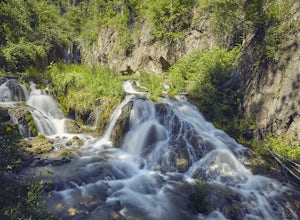
4.04.2 mi / 50 ft gainThe trailhead to Roughlock Falls is in the town of Savoy, SD in the Black Hills. From Spearfish on I-90, head south on Route 14 for 15 miles into Savoy. There is only one road to make a right onto in town, Roughlock Falls Road. You can cheat and drive this all the way up to the falls for a quick ...Read more -
Lead, South Dakota
76 Trail
1.24 mi / 499 ft gainThe '76 Trail is only 3/4 of a mile long but elevates 1,000 feet, making this hike difficult for many. Plan to take a couple breaks but admire the gorgeous surroundings! The hike is not a leisurely one but the views at the top are well worth the effort.Read more -
North Lawrence, South Dakota
Spearfish Falls
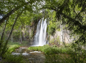
1.6 mi / 60 ft gainThis is a super short and very easy hike that has an incredible payoff. It is an out-and-back trail that is accessible for all skill levels. The trail slowly descends along a path that varies between paved sections and very well-groomed gravel leading to an observation deck of a super scenic wate...Read more -
Hot Springs, South Dakota
Tour Wind Cave
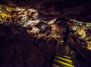
4.80.67 mi / 6 ft gainEstablished in 1903, Wind Cave National Park is home to over 140 miles of mapped cave passages. The cave features 95% of the world's known boxwork calcite formations and got its name from the sound of rushing wind created at its few small openings.A guided tour is the only way to see the cave sys...Read more -
Rapid City, South Dakota
Hike to the Stratobowl Rim
2 mi / 100 ft gainThe winding trail to the Stratobowl is a gradual and easy hike, which is perfect for the whole family or for a quick excursion if you don't have a lot of time. It is roughly a mile to the Rim overlook, where there is a plaque commemorating the November 11th, 1935 balloon flight that launched 72,3...Read more -
Rapid City, South Dakota
Hike to Falling Rock Overlook
0.5 mi / 50 ft gainThe beautiful hike is a tremendous spot to get out of town and enjoy the scenery and a great view of Rapid Creek down in the canyon below. Parking is right off Falling Rock Rd. then the trail is a very well marked path through the trees, easy to follow, and leads you right to the edge of limesto...Read more -
Hot Springs, South Dakota
Photograph Sunset at Wind Cave NP
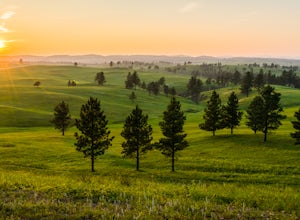
5.0Above the famous Wind Cave, miles of natural mixed-grass natural prairie cover the Black Hills. In summer, the lush grasses attract the park's free-roaming bison herd as well as elk, pronghorn antelope, prairie dogs, and black-footed ferrets.One of the best spots for capturing sunset over the pra...Read more -
Lead, South Dakota
Hike to Devil's Bathtub, Black Hills National Forest
5.01 miBefore you start this adventure, make sure you're wearing shoes that will not be ruined by crossing creeks. There are several stream crossings so wear waterproof boots or sturdy hiking sandals (I prefer my Original Universal Tevas or my KEEN Whisper Sandal). The pull off to start the hike is abo...Read more -
Deadwood, South Dakota
Bike the George S. Mickelson Trail
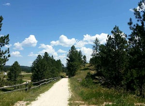
5.0108.8 mi / 2300 ft gainBiking the George S. Mickelson Trail is a very popular activity for many people in the Black Hills, locals, visitors, and tourists all enjoy the Mickelson Trail. Not only can you bike, but you can run, walk, or even ride horses, and you most definitely do not have to do the entire length of the ...Read more -
Spearfish, South Dakota
Cross-Country Ski the Big Hill Trails
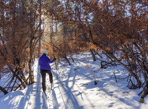
13.6 mi / 300 ft gainFrom Spearfish, head south on Tinton Rd. for roughly 8 miles. There will be a large parking lot to your right with a pit toilet and an information kiosk. The actual trail head is across the road from the parking lot. There are four different loops in the system all of varying difficulty and lengt...Read more -
Lead, South Dakota
Hike to Mt. Roosevelt Tower
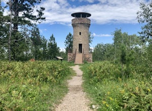
0.8 mi / 160 ft gainTo get to the trailhead for Mt. Roosevelt, you will need to travel about a mile north of Deadwood, on HWY 85, then you will see signs for it near the Lodge of Deadwood, from there you will eventually hit a gravel road and it is about 2.5 miles from the highway. The trailhead has picnic tables, an...Read more
Top Activities
Go Great Places in South Dakota
In the Mount Rushmore state, travels to South Dakota are full of one-of-a-kind adventure with wide-open spaces as endless as the horizons. Between legendary landscapes and scenic drives, you can always find space that shifts life into park. When you’re ready, go great places.
Learn More

