Hill City, South Dakota
Looking for the best photography in Hill City? We've got you covered with the top trails, trips, hiking, backpacking, camping and more around Hill City. The detailed guides, photos, and reviews are all submitted by the Outbound community.
Top Photography Spots in and near Hill City
-
Rapid City, South Dakota
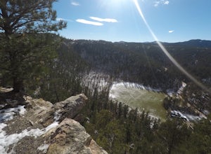
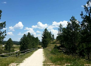
Hike to the Stratobowl Rim
2 mi / 100 ft gainThe winding trail to the Stratobowl is a gradual and easy hike, which is perfect for the whole family or for a quick excursion if you don't have a lot of time. It is roughly a mile to the Rim overlook, where there is a plaque commemorating the November 11th, 1935 balloon flight that launched 72,3...Read more -
Hermosa, South Dakota
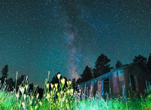
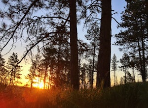
Stargaze at Spokane Ghost Town
Great all year long but, especially stunning when the galactic center of the Milky Way is visible from Spring to Fall, Spokane Ghost Town is a local favorite and a hidden gem. Set up your camera, and light paint some old buildings! The ghost town was originally a mine founded in the late 1800's w...Read more -
Hermosa, South Dakota
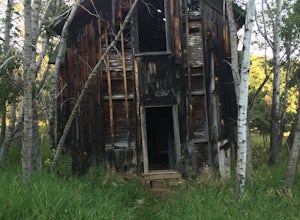
Explore the Spokane Ghost Town
1 mi / 4521 ft gainSpokane will always be one of my favorite locations in the hills. The town was founded in 1890 and features 3 intact structures from that time. The most intact structure is the manager's house which you can find up on a hill behind the other buildings. A few years ago the old school house finally...Read more -
Custer, South Dakota
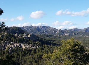
Hike the Stockade Lake Trail
1.2 mi / 500 ft gainThe trail starts near the East side of Stockade Lake just outside Custer, South Dakota. The trail is a 1.2 mile loop, and climbs up to 5,650 feet above sea level. The trail is easy to follow and is well worn. Also the trees have blue diamonds nailed to them for even easier route finding. Once you...Read more -
Hill City, South Dakota
Camp at Black Fox Campground
Black Fox is 9 miles west of Rochford has nine campsites along the Rhoads Fork Creek where it meets up with the South Fork of Rapid Creek. Campsites are nicely arranged for the most part with a fire pit and picnic table at each site. From the campground there are many things to do, many people en...Read more -
Custer, South Dakota
Hike Grace Coolidge Walk-In Area
6 mi / 150 ft gainGrace Coolidge Walk-In area is a fantastic place to go for a hike and do some fly fishing! There are 6 dams built along the 3 mile trail. You can start on either from Center Lake off of Playhouse Rd. or you can start at the southern trailhead near Highway 16A, that is not too far west from the St...Read more -
Custer, South Dakota
Fly Fish French Creek
0.5 mi / 15 ft gainThe creek has two main sections, there is Upper French Creek and Lower French creek, the upper/lower refer to the section of creek above or below Stockade Lake. The better fishing is below Stockade Lake. There you can find numerous sections of the creek that are on public land and easily accessib...Read more -
Custer, South Dakota
Hike through Hell Canyon
5.3 miThe Trailhead lies down in the canyon bottom, just one mile west of Jewel Cave National Monument and 13 miles west of Custer. Upon arrival, you are greeted by the parking lot, which is right off the highway and boasts a spacious gravel lot to park in. Since the trail is a loop, you can go either ...Read more -
Custer, South Dakota
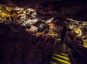
Tour Jewel Cave
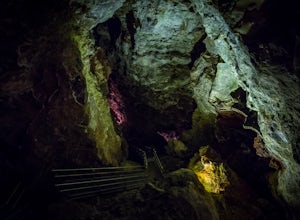
4.00.5 mi / 20 ft gainEstablished in 1908, Jewel Cave National Monument is home to over 179 miles of mapped cave passages. The cave features larger chambers and more interesting formations then nearby Wind Cave NP, and much of it is covered in spar crystals.A guided tour is the only way to see the cave system unless y...Read more -
Custer, South Dakota
Drive the Custer State Park Wildlife Loop
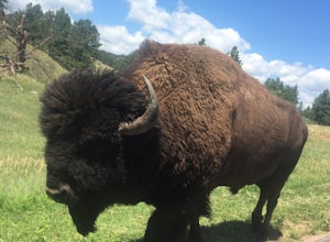
4.7The Custer State Park Wildlife Loop runs for 18 miles across beautiful grasslands and pine-speckled slopes that are home to much of the park's wildlife. Bison, pronghorn, whitetail, mule deer, elk, coyotes, burros, prairie dogs, eagles, hawks, and a variety of other birds may be spotted along the...Read more -
Rapid City, South Dakota
Explore the Skyline Wilderness Area
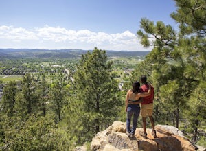
3 mi / 0 ft gainDividing Rapid City's East and West sides, the Skyline Wilderness Area is a 150-acre park that features numerous walking, biking and hiking trails. This area can also be enjoyed as a beautiful drive that offers one of the best views of Rapid City. The road stretches about two miles long and giv...Read more -
Lead, South Dakota
Camp at Hanna Campground
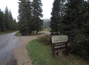
0.25 mi / 0 ft gainThe campground is located 7.5 miles south of Lead on Highway 85, then turn left on road 196, there will be a sign for Hanna CG, from there it is just over 2 miles to the campground. The campground has 13 total sites, the main area of the CG is closed during the fall winter and spring, but there a...Read more -
Deadwood, South Dakota
Bike the George S. Mickelson Trail
5.0108.8 mi / 2300 ft gainBiking the George S. Mickelson Trail is a very popular activity for many people in the Black Hills, locals, visitors, and tourists all enjoy the Mickelson Trail. Not only can you bike, but you can run, walk, or even ride horses, and you most definitely do not have to do the entire length of the ...Read more -
Hot Springs, South Dakota
Camp at Elk Mountain Campground in Wind Cave National Park
4.0Elk Mountain Campground is in a secluded area of the park, providing plenty of peace and quiet. Sites operate on a first come, first serve basis, although the campground was less than half full when we stayed in the middle of busy summer months. There are about 64 sites available in the campgroun...Read more -
Hot Springs, South Dakota
Tour Wind Cave
4.80.67 mi / 6 ft gainEstablished in 1903, Wind Cave National Park is home to over 140 miles of mapped cave passages. The cave features 95% of the world's known boxwork calcite formations and got its name from the sound of rushing wind created at its few small openings.A guided tour is the only way to see the cave sys...Read more -
Lead, South Dakota
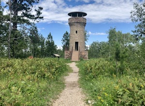
Hike to Mt. Roosevelt Tower
0.8 mi / 160 ft gainTo get to the trailhead for Mt. Roosevelt, you will need to travel about a mile north of Deadwood, on HWY 85, then you will see signs for it near the Lodge of Deadwood, from there you will eventually hit a gravel road and it is about 2.5 miles from the highway. The trailhead has picnic tables, an...Read more
Top Activities
Go Great Places in South Dakota
In the Mount Rushmore state, travels to South Dakota are full of one-of-a-kind adventure with wide-open spaces as endless as the horizons. Between legendary landscapes and scenic drives, you can always find space that shifts life into park. When you’re ready, go great places.
Learn More

