United States
Looking for the best running in United States? We've got you covered with the top trails, trips, hiking, backpacking, camping and more around United States. The detailed guides, photos, and reviews are all submitted by the Outbound community.
Top Running Spots in and near United States
-
Fort Collins, Colorado
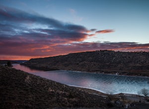
Hike to Horsetooth Rock
4.55 mi / 1440 ft gainThe Horsetooth Mountain Park Open Space is located just 4 miles from Fort Collins. The 2,886 acre park offers 29 miles of hiking, biking, and horse back riding trails.Having taken both the multi use trail and the hiking only trail, I recommend the hiking only. This trail offers you the views and ...Read more -
Hunt, New York
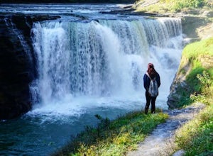
Hike the Gorge Trail in Letchworth State Park
5.07 miThere are over 66 miles of trails to explore at Letchworth State Park; however, the most popular and the one I chose is the Gorge Trail. This trail runs 7 miles from point-to-point passing by three lovely waterfalls. It travels parallel to the main road for the majority of the hike. You can star...Read more -
Mount Pleasant, Tennessee
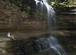
Stillhouse Falls
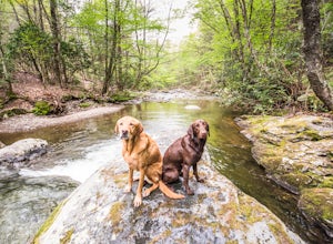
5.01.23 mi / 295 ft gainThis waterfall is a fun short hike that can be done quick, or a nice place to hangout for the day in your hammock to read a book! From Nashville, take I-65 south and take the Saturn Parkway toward Columbia. Turn right on Hwy 43 and proceed about 21 miles. The natural area parking area is on the ...Read more -
Telluride, Colorado
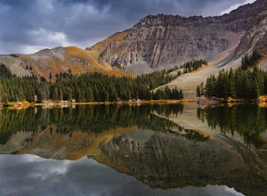
Alta Lakes Dispersed Camping
4.7Note: Camping is permitted around the lake. There are approximately 20 undeveloped campsites. For more information, head to the US Forest Service website. Camping Facilities20 campsites that are completely undevelopedCamping is permitted at only the designated campsitesPortable toilets are avail...Read more -
Oglesby, Illinois
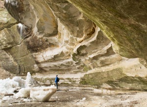
Hike Ottawa Canyon at Starved Rock State Park
5.03.9 miThis canyon is not as popular as some of the others in this park but it is my favorite by far. You can either hike the full 3.9 miles from the visitor center or you can jump in your car and head over to one of the parking lots on the east side for a shorter hike. Either way you will not be disap...Read more -
Boulder Creek, California
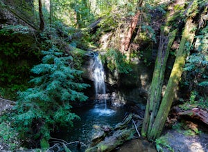
Hike to Sempervirens Falls
4.02.1 mi / 100 ft gainThe hike to Sempervirens Falls is an easy 2.1 mile out-and-back hike on the Sequoia Trail. You'll travel through the redwood forest and some of the campgrounds located in Big Basin State Park. The hike is pleasant but on occasion, you'll be too close to the road to feel like you're deep in the wi...Read more -
Carmichael, California
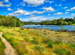
Hike through the Effie Yeaw Nature Preserve
4.34.48 mi / 161 ft gainDetailsEffie Yeaw Nature Preserve is named after Effie Yeaw, a teacher, conservationist and environmental educator who frequented the area on educational nature walks. She was one of the leading forces behind preserving the land now known as The American River Parkway.Effie Yeaw Nature Preserve...Read more -
Houston, Texas
Hit the Trails at Memorial Park
3.5Memorial Park is a hub for Houstonians looking to escape that busy day-to-day urban rush. With a 3 mile running loop and 10 miles worth of multi-use trails to offer, the park does tend to get pretty busy, however it is rare that you would not be able to find parking on any given day.The best trai...Read more -
Crozet, Virginia
Hike Moorman's River
4.52.5 miAlong the hike, there are four "official" swimming holes to jump in, but you can make your own at any time. Go in the springtime for a great waterfall at the end the feeds into a swimming hole, and in the fall for a wonderland of foliage. The official name of this hike is Moorman's River, but an...Read more -
Point Reyes Station, California
Sky Trail Loop
5.09.55 mi / 1818 ft gainSky Trail in Point Reyes National Seashore is a dramatic, mostly single-track trail that runs along the main spine of the Inverness Ridge and across highest mountains in Point Reyes, looming above the Olema Valley and Highway 1 which mark the San Andreas Fault rift zone and the dividing line betw...Read more -
Winters, California
Hike the Homestead-Blue Ridge Loop
5.0From the official trailhead, start off by taking the Homestead Trail, which forks towards the right. A trail connecting Homestead and Blue Ridge will take you to a creek nearby. Veer off the trail along the creek and there is a water hole for cooling off on hot days. Onward into the trail, you wi...Read more -
Atlanta, Georgia
Eastside Trail of the Atlanta Beltline
4.71.93 mi / 164 ft gainTo visit the Eastside Trail of the Atlanta Beltline, park in the paid public parking (different pricing Monday-Thursday & Friday-Sunday) at the far southeast corner of Piedmont Park, behind the Park Tavern restaurant and brewery. From there, walk to the intersection of Monroe Dr. and 10th St....Read more -
Atlanta, Georgia
Morningside Nature Preserve Loop
4.52.01 mi / 154 ft gainPark your car on the residential road and look across the street into the woods for the trail. The trail winds around through a bamboo forest with streams winding in and out. The trail splits and you can either take the high road or low road closer to the river. Both trails meet back up near the...Read more -
Chattanooga, Tennessee
Stroll Chattanooga's Walnut Street Bridge
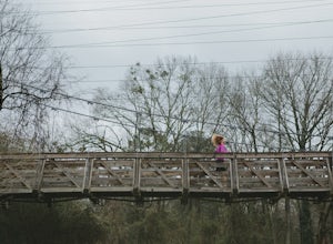
5.0Chattanooga's Walnut Street Bridge was once almost demolished, but instead it was revitalized to be one of the longest pedestrian bridges in the world. Connecting the Downtown Arts District to Northshore's Frazier Avenue, this bridge hosts visitors and locals year round. Whether you walk, bike, o...Read more -
Concrete, Washington
Dock Butte
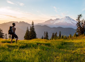
4.53.92 mi / 1388 ft gainDock Butte is an easy hike offering truly spectacular 360 degree views of the Mt. Baker region. In summer this summit can be done as an easy walk up. It is especially good during the late summer for hikers and introducing someone into hiking. From the parking lot the trail goes through forest wi...Read more -
Warner Springs, California
Eagle Rock via the Pacific Crest Trail
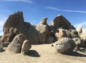
5.06.2 mi / 807 ft gainWith doing more hikes in the SoCal area, I've realized half the battle is just trying to find the damn trailhead.Technically you have 2 ways to enter this trail ... Start from 79 and add a very enjoyable extra 3ish miles, or start from the Warner Springs Fire Station, for a total 7 mile hike.We c...Read more

