United States
Looking for the best running in United States? We've got you covered with the top trails, trips, hiking, backpacking, camping and more around United States. The detailed guides, photos, and reviews are all submitted by the Outbound community.
Top Running Spots in and near United States
-
Clark County, Nevada
Exploring Nevada's Pastel Canyon
4.7Pastel Canyon or Pink Canyon is part of wash no. 5 in The Valley of Fire State Park and sits close to The Fire Wave and the White Dome trail yet since there is no official trail and isn't on any map it's hardly noticed.To get to the slot canyon drive on Mouse's Tank Rd. in the Valley of Fire to P...Read more -
Honolulu, Hawaii
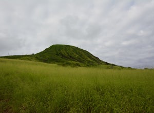
Koko Head Crater Trail
4.41.6 mi / 961 ft gainWhile hiking up the Koko Head trail, don't get too intimidated, there are grandparents and young kids hiking up these tracks. Take a sip of water, muster your mental toughness, and put one foot in front of the other along the rail trail. Once you're moving, there's no way you'll turn back! When y...Read more -
Birmingham, Alabama
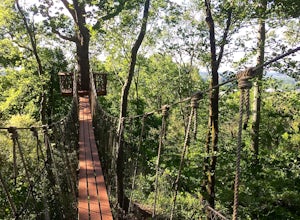
Trail Run to Skyhy Tree House at Red Mountain Park
4.84.5 mi / 250 ft gainFrom the park entrance there are several ways to get to Skyhy Tree House, and the trail system allows for loops of varying distances and difficulty. There’s a large map about a quarter mile down the main trail from the park entrance, and paper trail maps are usually available at this sign. The tr...Read more -
Sand Ladder, California
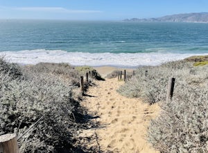
Baker Beach Sand Ladder
4.40.25 mi / 138 ft gainThe Baker Beach Sand Ladder is a section of the Pacific Coast Trail that is comprised of 200 ten foot poles tied together to form stairs down to North Baker Beach from Lincoln Blvd. If you’re looking for a lung and butt-busting workout, and you’d like a break from your standard routine, you need...Read more -
Boulder, Colorado
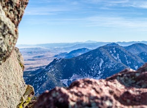
Boulder's Skyline Traverse
5.014.77 mi / 4583 ft gainHave you ever reached the bottom of a hike with some friends and thought, 'That was nice, but I'd still like to hike more... a lot more.'? Then the Skyline Traverse is for you. Instead of hiking just Green Mountain or Bear Peak, the Skyline Traverse links South Boulder Peak, Bear Peak, Green Mou...Read more -
Knoxville, Maryland
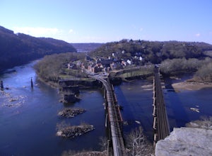
Hike to Maryland Heights
4.82.8 mi / 900 ft gainMaryland Heights is at the convergence of Maryland, West Virginia and Virginia, as well as the Potomac and Shenandoah Rivers. The Appalachian Trail and C&O Canal Towpath are also easily accessible from the trailhead parking lot. The parking lot holds about 16 cars and is between Locks 33 and ...Read more -
Plano, Texas
Arbor Hills Nature Preserve Loop
3.92.44 mi / 20 ft gainArbor Hills Nature Preserve is a free, fantastic get-away for a quick dose of the outdoors in the middle of the busy city. Safe and family-friendly, this preserve has a wide variety of visitors doing every type of activity, from jogging to mountain biking to drone flying. The playground sits nex...Read more -
Half Moon Bay, California
Gray Whale Cove Trail
4.52.23 mi / 367 ft gainGray whale cove trail is a splendid, short, and easy hike for the entire family with beautiful ocean views. The starting point is conveniently located near a parking lot that accesses Montara State Beach. From the south end of the parking lot, follow the trail up through the coastal scrub. Within...Read more -
Redwood City, California
Hike Purisima Creek Redwoods OSP
4.67 miThere are two places to park for this specific loop- the main parking area on Highway 35 (Skyline Boulevard) and a smaller parking lot on the western end of the park. I would recommend parking at whichever is closest. Find directions to both on Openspace.org. From the main parking lot, the trail ...Read more -
Stinson Beach, California
Matt Davis-Coastal Trail Loop
4.76 mi / 2231 ft gainThis hike is an alternative to the famous Matt Davis to Steep Ravine Loop. The hike starts at Stinson Beach, just behind the fire Station. I recommend parking at the Beach parking lot. The Matt Davis trail is one of the best constructed trails I have ever seen. After 2.2 miles, turn left on the ...Read more -
Birmingham, Alabama
Hike to Ruffner Mountain's Hawk's View Overlook
4.82 mi / 200 ft gainPark at the little league baseball fields that are across the road from the access point where the trail meets the road on the southeastern corner of the preserve that you can see on the map. Hike up a gentle incline NW on the Ridge and Valley Trail for about fifteen minutes to the trail intersec...Read more -
Estes Park, Colorado
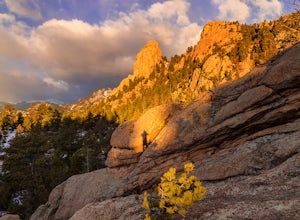
Lumpy Ridge to Gem Lake
4.33.12 mi / 950 ft gainBegin by parking at the Lumpy Ridge trailhead, which is a couple miles outside of Estes Park on McGregor Avenue. At the trailhead, there are numerous signs indicating hiking trails, climbing routes, and other information about the area. After parking start hiking on the trail to the right of the ...Read more -
Winthrop, Washington
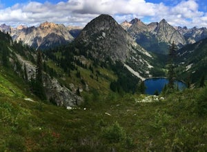
Heather-Maple Pass Loop
5.07.5 mi / 2185 ft gainNote to any hikers taking on this trail, this is a non-repeating trail meaning it goes in a big loop. The trailhead has 2 trail points of entrance. To the right (the pathway that is not paved) is the counter-clockwise route, a little less steep and more scenic at the start. To the left, the trail...Read more -
Austin, United States
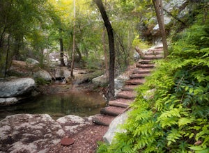
Riverplace Nature Trail
4.45.41 mi / 768 ft gainThis is a great trail to get some exercise close to downtown Austin, Texas. The trail at Natural Preserve at River Place is well maintained and has stairs and plenty of elevation gain to make your legs a little wobbly by the time you get back to your car. The trail is a 5.5-mile out-and-back hike...Read more -
Rising Fawn, Georgia
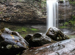
Hike the West Rim Trail to Cherokee Falls
4.54.77 mi / 814 ft gainGood luck finding something you dislike about Cloudland Canyon State Park - one of Georgia's largest and most scenic parks. Sitting on the western edge of Lookout Mountain, it is home to a plethora of luscious trails, easily-accessible campgrounds or yurts, and flowing waterfalls. The West Rim L...Read more -
Bellevue, Washington
Coal Creek Trail
4.05.55 mi / 545 ft gainThis trail takes you through Coal Creek park and follows the creek along the trail with minimal elevation gain. This trail can also be accessed from the northern end of the park if that's a more convenient drive. For the lower parking lot, park at the Red Town lot (exit 13 off I-90) and cross the...Read more


