Wayne, Pennsylvania
Top Spots in and near Wayne
-
Newtown, Pennsylvania
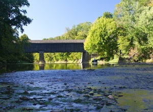
Canoe Neshaminy Creek at Tyler State Park
1 miEnjoy a peaceful paddle on Neshaminy Creek by canoe in Tyler State Park. The park is in a beautiful part of Bucks County and also offers paved and unpaved trails for running and bike riding, an extensive disc golf course, swimming in the creek, and picnic areas. It is likely that you will see a h...Read more -
Birdsboro, Pennsylvania
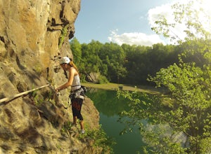
Climb at Birdsboro Quarry
To get there follow back roads to the parking lot that is tagged in the description. From here, follow the trail/road paralleling Hay Creek until you reach a few large buildings. There is an obvious sign here on the regulations of the area. Do not go through the fence to the right and instead ...Read more -
Langhorne, Pennsylvania
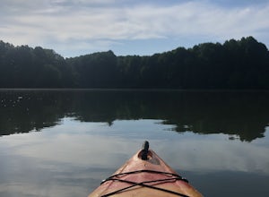
Kayak at Core Creek Park
Kayak on Lake Luxembourg at Core Creek Park! It's a beautiful and quiet lake with serene views of the forest and park. You can rent boats and water bikes at the park, or bring your own, and launch directly onto the lake. To access the Lake, use the entrance to Core Creek Park on Bridgetown Pike. ...Read more -
Langhorne, Pennsylvania
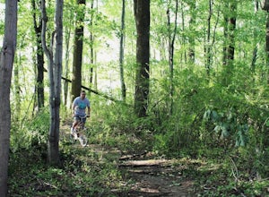
Mountain Bike at Core Creek Park
3 miA well-kept mountain biking trail right in Core Creek Park! The trail can easily be ridden by beginners, although there are several parts with lots of roots and/or logs where beginners may want to carry bikes over rather than riding. You can access the trail by using the entrance to Core Creek P...Read more -
Newark, Delaware
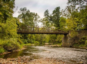
Hike White Clay Creek Preserve Loop Trail
11.5 mi / 856 ft gainThis trail runs through a wooded area and is great for all skill levels. It is mostly used for walking, hiking, running, and mountain biking. Though the entire loop itself is quite lengthy, there are connecting trails that you can embark on to add to or shorten your trip. The trails are well main...Read more -
Pennsville, New Jersey
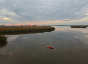
Paddle Mannington Meadow
Paddle out into the winding tributaries of Mannington Meadow, paddle past tall reeds, and plenty of wildlife! Access is a small lot capable of fitting roughly 15 cars at the end of the road. There is a concrete ramp, however due to low water levels paddle craft are best used. Once you get on the ...Read more -
Newark, Delaware
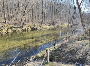
Hike the PennDel Trail at White Clay Creek SP
5.01.9 mi / 0 ft gainWhite Clay Creek State Park is a large expanse of beautiful woods and streams with over 37 miles of trails. The PennDel Trail follows White Clay Creek and winds through the hardwood forests. The PennDel Trail actually begins at the Pennsylvania state line, but the easiest way to access the trail...Read more -
New Hope, Pennsylvania
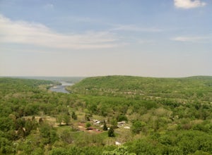
Visit Bowman’s Hill Tower
4.0Right off of River Road (Rt. 32), Bowman's Hill is one of the best views in Bucks County. When driving on River Road, you will see a sign for Bowman's Tower that leads to the top, where there is an ample amount of parking. From there, walk a short distance and then climb the tower for the view. ...Read more -
Tinicum Township, Pennsylvania
Hike the High Rocks State Park Loop
4.61.5 miHigh Rocks State Park, a section of Ralph Stover State Park, offers visitors some of the best views in Eastern Pennsylvania. Across from the parking lot on Tory Road, you will find the main trailhead. This will lead you to several different trail options, all varying in length, and all bringing y...Read more -
Stockton, New Jersey
Explore Kugler Woods Waterfall
4.00.5 miDrive 5.2 miles north on Route 29 from the center of Stockton, NJ and you will come across a very small parking lot on the left side of the road. If you park your car there, walk back south on Route 29 about 50 feet, and cross over to the woods-side of the road. There you will find the trailhea...Read more -
Lambertville, New Jersey
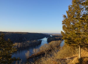
Hike the Goat Hill Overlook
1 miHike a short and easy path up a hill to the Goat Hill Overlook where you'll have a wonderful view of the Delaware River and New Hope, PA. Put 'Goat Hill Overlook' into your maps and you will be led right to the trailhead where you can easily park in the gravel parking lot or on the side of the pa...Read more -
Lambertville, New Jersey
Mountain Bike Dry Run Creek Trail
1 miThis short trail runs alongside a small creek, and is a perfect spot for mountain biking and running. There is a small parking lot right at the trailhead, making this spot very convenient to access. It is not a very challenging ride, although there are a few ruts that can be messy if it has recen...Read more -
Morrisville, Pennsylvania
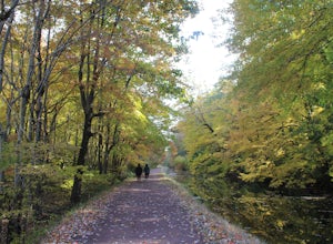
Run or Bike the Delaware Canal Towpath: Yardley to New Hope
4.010 miThe Delaware Canal is a 60-mile path along a historic canal that runs parallel to the Delaware River. The canal runs from Bristol (closer to Philly) all the way to Easton, near Bethlehem, PA. One of the most scenic parts of the canal starts in the Lower Bucks County town of Yardley with an access...Read more -
Frenchtown, New Jersey
Hike to the Devil's Tea Table
3.00.5 mi / 20 ft gainApart from the rock, there's more trail to follow for a stunning overview and a great spot to hang out and relax. The view is a must-see, it is so much better in person. The hike is not challenging at all, it is basically a straight trail. Climbing some medium sized rocks might be required, but i...Read more -
Delaware City, Delaware
Hike Michael Castle Trail
5.012.4 mi / 288 ft gainThis trail welcomes people of all skill levels. It’s mostly flat with just a few inclines and is nicely paved. It’s a relatively wide trail, leaving enough room for multiple walkers, hikers, skaters, or bikers. It’s the perfect trail for those looking to train long distances, whether running or...Read more -
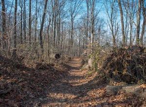
Hopewell Township, New Jersey
Hike the Baldpate Mountain Loop
5.01.25 miThe parking lot on Pleasant Valley Road provides access to the trailhead for this 1.25 mile loop hike.Starting at the trailhead, take the Ridge Trail (white) going West. The ridge trail is wide and flat, and branches off to many other smaller trails throughout the preserve.After about 0.25 miles...Read more

