Nazareth, Pennsylvania
Looking for the best hiking in Nazareth? We've got you covered with the top trails, trips, hiking, backpacking, camping and more around Nazareth. The detailed guides, photos, and reviews are all submitted by the Outbound community.
Top Hiking Spots in and near Nazareth
-
Penn Forest Township, Pennsylvania
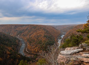
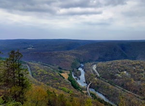
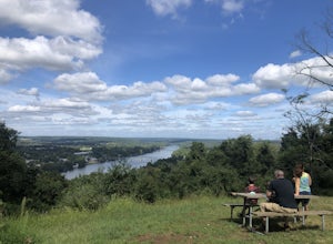
Tank Hollow Vista
4.03.33 mi / 272 ft gainThis is a simple, short hike to a fantastic vista looking out over the Lehigh River Gorge. The trailhead for the hike to Tank Hollow Vista is along Behrens Road just outside of Jim Thorpe, PA. Most of the hike is on state game lands. If the gate is open from the first lot, you can shorten this h...Read more -
Jim Thorpe, Pennsylvania
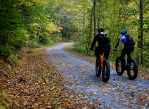
Bike the Lehigh Gorge Trail: Lock #2
4 miIt was a rainy day, which brings along mud (but I think mountain biking is better in the rain and mud anyways).Enter the trail by going through the county parking lot and to the left end under the bridge. The trail starts along the tracks and you can admire the restored old rail cars. Cross ove...Read more -
Jim Thorpe, Pennsylvania
Bike the Switchback Trail around Mauch Chunk Lake Park
5.011 miThe trail entrance can be found by going up Broadway and taking Hill Road to the right at the Opera House. At the top of Hill Road will be the entrance to the trail; there is a nice little wooden sign so you don't miss it. This trail can be hiked or biked; we chose to do some mountain biking.Th...Read more -
Califon, New Jersey
Bike the Columbia Trail: Califon to High Bridge
There are multiple places to pick up the Columbia Trail (High Bridge, Califon, Long Valley, Flanders) but this post is for biking or running from Califon to High Bridge and back. The best place to park is at the old town railroad station on, of course, Railroad Ave. You will be able to see the en...Read more -
Albrightsville, Pennsylvania
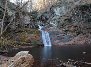
Hawk Falls in Hickory Run State Park
4.10.68 mi / 108 ft gainHawk Falls is located in Hickory Run State Park, Pennsylvania in the Poconos Mountains. The trail is mostly downhill, with some slippery sections so wear adequate shoes and take caution when you approach the falls. A rock outcrop at the top of the falls makes for a great lookout point. The 0.7 ou...Read more -
Stockton, New Jersey
Explore Kugler Woods Waterfall
4.00.5 miDrive 5.2 miles north on Route 29 from the center of Stockton, NJ and you will come across a very small parking lot on the left side of the road. If you park your car there, walk back south on Route 29 about 50 feet, and cross over to the woods-side of the road. There you will find the trailhea...Read more -
Jim Thorpe, Pennsylvania
Hike to Glen Onoko Falls
4.64.1 mi / 987 ft gain*Again, this hike is CURRENTLY CLOSEDThere are several WRONG ways to do this trail. Follow these simple instructions to get the most out of all Glen Onoko has to offer: Parking: Parking in the correct location is the most important step to this trail. Beware: typing in Glen Onoko Falls in Google ...Read more -
Stockton, New Jersey
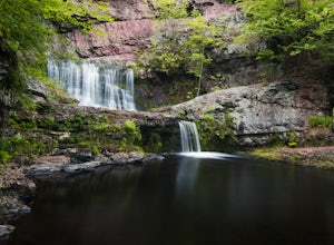
Hike to the Hidden Lockatong Waterfall
3.72 miIf you're on Kingwood Stockton Road, there will be a dirt road with a Lockatong Nature Preserve sign before it (going north on Kingwood Stockton Road, the sign will be on your left. If you're driving south, the sign will be on your right). Just drive all the way until the end of the dirt road and...Read more -
Lake Harmony, Pennsylvania
Explore Boulder Field in Hickory Run State Park
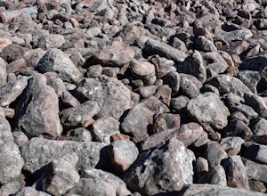
3.0Boulder Field is easily found following signs in Hickory Run State Park and has its own parking lot. Boulder Field is a small piece of landscape leftover from the last ice advance thousands of years ago. It covers an area of 400 feet wide by 1,800 feet long and about 10 feet deep. Boulders rang...Read more -
Lake Harmony, Pennsylvania
Shades of Death Trail
4.51.89 mi / 223 ft gainThe trailhead and parking are available by the park office or along PA 534 by the nature center and amphitheater. This trail is beautiful and seemed to change around every bend. Sand Spring Run flows alongside the entire trail. Rock formations and rhododendron mix with remains of a logging mill a...Read more -
Washington Township, New Jersey
Hike Hacklebarney State Park's Trout Brook Riverbanks
5.0This is a relatively easy hike through Hacklebarney State Park that is great for families with younger children, rock scrambling, photography, and just hanging out in nature. There are two different ways to explore Hacklebarney, either by staying on the packed gravel path or by following the bank...Read more -
Bushkill, Pennsylvania
Bushkill Falls Loop
3.81.89 mi / 331 ft gainBushkill Falls offers visitors a choice of 4 different trails to explore. All trails are very well maintained, making this trip safe for the whole family. The most rewarding trail is the Red Trail. This route brings you to all 8 of Bushkill's waterfalls. Taking the trail counter-clockwise, you w...Read more -
Lambertville, New Jersey
Hike the Goat Hill Overlook
1 miHike a short and easy path up a hill to the Goat Hill Overlook where you'll have a wonderful view of the Delaware River and New Hope, PA. Put 'Goat Hill Overlook' into your maps and you will be led right to the trailhead where you can easily park in the gravel parking lot or on the side of the pa...Read more -
White Haven, Pennsylvania
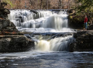
Choke Creek Falls
5.01.45 mi / 128 ft gainHiking to Choke Creek Falls is easy! The hike down to the waterfall is less than a mile and the payoff is a scenic two story waterfall. From the curve in Phelps Road, take the gated forest road downhill about 1/3 of a mile to a clearing. From here, the trails splits. Take the trail to the right,...Read more -
Barrett Township, Pennsylvania
Hike to the Indian Ladder Falls at Skytop
3.25 miThis 1.75 Mile one-way walk is beautiful. Located on the Skytop Lodge property, the trail winds its way through the forest and along side a creek with benches and picnic areas. Park in the falls trail parking lot on the east side of rt. 390. Google maps will take you right there if you search Ind...Read more -
Lehman township, Pennsylvania
Hike to Hornbeck's Creek Waterfall
4.31.2 miGPS Coordinates: 41.187148,-74.885454Driving Directions: From 209, enter into the Delaware Water Gap and in between the 10 and 11 mile markers you will see a sign for Hornbecks Creek with a gravel road adjacent to it. Follow the road back until you reach the parking lot and the trail will be to t...Read more

