Lewisberry, Pennsylvania
Looking for the best hiking in Lewisberry? We've got you covered with the top trails, trips, hiking, backpacking, camping and more around Lewisberry. The detailed guides, photos, and reviews are all submitted by the Outbound community.
Top Hiking Spots in and near Lewisberry
-
Lewisberry, Pennsylvania
Hike Quaker Race's Lakeside Trail
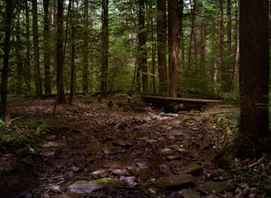
4.03 miThis trail is best accessed from the Quaker Race Day Use Area or from the Cabin Colony for cabin occupants. This trail has a dirt or rocky surface, uneven terrain and one steep but short hill. This trail connects to Lakeside Trail at its end to form a 3-mile loop that passes through diverse habit...Read more -
Marysville, Pennsylvania
Hike Trout Run
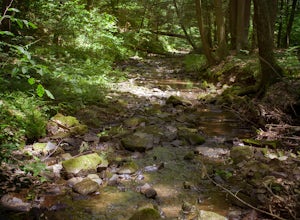
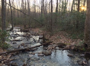
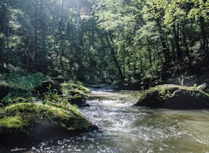
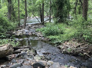
1.01 miHike along the creek for about a half mile, we stop where the trail meets the stream and let the kids play in the water for a bit and then head back. There are 2 large pull-off parking areas alongside of the road. The spot is exactly 3.7 miles from Adventure Park in Mechanicsburg. If you are unfa...Read more -
Carlisle, Pennsylvania
Hike to the Cumberland Valley Overlook
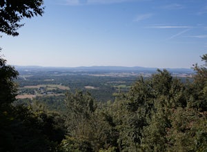
4.06 miThis hike is steep at points but the climb up the mountain has lots of switchbacks so it isn't just straight up. The hike is beautiful and during the summer there are lots of blackberry and raspberry bushes along the trail that we stopped to snack on. The Overlook is just before you crest the top...Read more -
Marysville, Pennsylvania
Hike to the Susquehanna Overlook
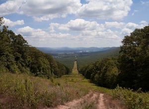
3.57 miOnce you reach the power lines, about a mile after cresting the top of the mountain you can look one way and you’ll see the Susquehanna River. Look the other way, and you’ll see beautiful woods and farm fields in Perry County. Return by the same route for a total of about 7 miles.Parking is at th...Read more -
Duncannon, Pennsylvania
Hike Hawk Rock, PA
4.02 mi / 750 ft gainThis is a steep and rocky hike, but is well worth the absolutely stunning view of Perry County - including Shermans Creek and the Susquehanna River.This particular trail is also part of the Appalachian Trail and the AT can be accessed part way up the trail if you wish to head north on the AT, oth...Read more -
Newville, Pennsylvania
Hike Pole Steeple, Pine Grove Furnace SP
3.61.5 mi / 1250 ft gainPole Steeple begins in Pine Grove Furnace State Park and ends in Michaux State Forest. The hike is short, only a .75 mile climb up, and ends at the rock outcropping where you get a great view of the entire park. Pole Steeple is the main trail to the summit but there is also a longer, less steep o...Read more -
Gardners, Pennsylvania
Hike to Sunset Rocks in Michaux State Forest
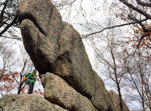
4.08.3 mi / 1000 ft gainSunset Rocks is a scenic two-mile spur off the Appalachian Trail in southern Pennsylvania's Michaux State Forest. If you hike it as a loop--incorporating 6 miles of the AT into the circuit--you can visit some of the AT's most notable landmarks in this area, including the remains of Michaux Camp (...Read more -
Spring Grove, Pennsylvania
Hike the Ranger Trails at Codorus State Park
4.05 miI'll be honest. I wasn't expecting much from Codorus State Park. But, my Saturday was open and I wanted to go somewhere I wouldn't have to fight for legroom. I didn't need anything majestic--just some space. Codorus, centrally located in the picturesque hills of York County, PA, seemed to fit the...Read more -
Newville, Pennsylvania
Camp at Tom's Run Shelter
3 mi / 85 ft gainStarting from the small parking area on Bunkerhill Rd, head north (turn right) onto Michaux Rd. After about 1/3 of a mile you will reach the Appalachian Trail where you will want to head west (turn left).This will lead you on a leisurely hike through the woods (follow the white blazes). It won't ...Read more -
New Bloomfield, Pennsylvania
Hike the Buffalo Ridge Trail
2.5 miThis hike is marked as one of the most difficult at Little Buffalo, but we didn't find it to be overly exhausting. For someone that is used to hiking, this trail is a breeze. There are a few semi-steep inclines, but for the most part the trail is easy to navigate. There are picnic tables located ...Read more -
Freeland, Maryland
Hike Hemlock Gorge
5.03.5 mi / 300 ft gainThis is one of Baltimore's little known gems. The area contains an ecosystem which is essentially non-existent outside of the Appalachian mountain regions. It has also been seemingly under-appreciated and abused by locals. I am trusting that the Outbound Collective community will do its part to e...Read more -
Jonestown, Pennsylvania
Climb Boxcar Rocks
5.01 mi / 0 ft gainThe parking lot can be tricky to find your first time. From I-81 Take Tower City exit on Rt. 325 W. Before airport, take Gold Mine Rd south over first major ridge. After ridge look for a driveway/parking lot on the left, it is the one just downhill of the big wide open parking lot. The road has...Read more -
Airville, Pennsylvania
Hike the Mason-Dixon Trail to Peavine Island
2 miThe Mason-Dixon Trail is a 200-mile trail that begins and ends in Pennsylvania, passing through Maryland and Delaware along the way. The trail connects the AT to the Brandywine Trail and spends considerable time adjacent to the wide and wondrous Susquehanna River. One of the Mason-Dixon trail's m...Read more -
Parkton, Maryland
Hike the Gunpowder Falls North and South Loop Trail
5.013.3 mi / 1180 ft gainPark in the lot on Bunker Hill Road and then continue a short ways to the trailhead (see map). There are no bridges for crossing the water so be prepared to pick your way across.Read more -
Pylesville, Maryland
Hike to Kilgore Falls
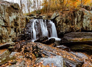
3.81.2 miThis 1.2 mile roundtrip hike leads to the second tallest waterfall in the state of Maryland. It is a short hike that's great for families and bringing the dog. In the warmer months, you can swim in the pool at the base of the waterfall. People have cliff jumped here, but exercise caution and do s...Read more -
Street, Maryland
Hike the White Trail
5.03.4 mi / 643 ft gainPark in the lot off of St. Clair Bridge Rd to access the trail. Be aware that some parts of the trail are rocky and/or steep. This trail is dog friendly and is accessible from October through November.Read more

