Cascadia, Oregon
Top Spots in and near Cascadia
-
Marion County, Oregon
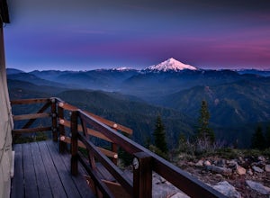
Gold Butte Fire Lookout
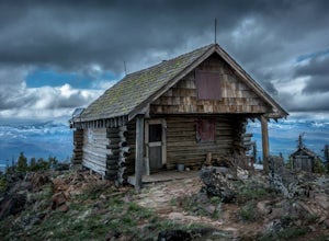
4.32.44 mi / 741 ft gainGold Butte Fire Lookout is a real gem in the Willamette National Forest. At 4618 feet elevation, the nearby Cascade Mountain views are nothing short of spectacular! At the summit, sits a L-4 Ground Structure Type Fire Lookout that was built in1934 to be used as a Fire Lookout. Additionally, durin...Read more -
Deschutes County, Oregon
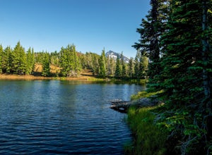
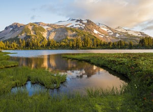
Matthieu Lakes via Lava Camp Lake Trail
2.06 mi / 922 ft gainBegin your hike at the Lava Camp Lake Trailhead. The trail winds through a forest flush with hemlock and fir while opening up into black lava flows. Continue for a little over two miles until you reach North Matthieu Lake. This is your first stop. Go for a swim out to the little island and have a...Read more -
Deschutes County, Oregon
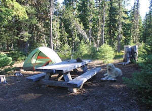
Camp at Lava Lake
4.5Beautiful spot to set your tent up for a night or longer.About 12 spots scatter the immediate campground area, but while hiking we spotted several more dispersed throughout the towering Ponderosa Pine trees. Most of the spots circle a small lake. The ground in this site is a VERY soft dirt, perfe...Read more -
Scotts Mills, Oregon
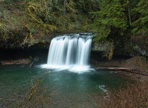
Upper Butte Creek Falls
4.00.73 mi / 308 ft gainFrom Scott Mills Follow Crooked Finger RD NE for 13.3 Miles to the Upper Butte Creek Trailhead. The last 2-3 miles or so is gravel road with some potholes but most cars shouldn't have a problem. The path down to the falls starts near the bathrooms. A short .3 mile walk on a few switchbacks and...Read more -
Deschutes County, Oregon
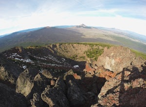
Summit Black Crater
5.08 mi / 2211 ft gainThe Black Crater Trailhead parking lot is accessed off the McKenzie Pass (Hwy 242). The trailhead starting elevation is 5,040ft. (using the iPhone app "Topo Maps". Great app) with a 3.8 Mile hike one way to the Black Crater Summit at 7,251ft of elevation. Some parts of the trail are steep and g...Read more -
Detroit, Oregon
Russell Lake via Whitewater Creek Trailhead
4.811.4 mi / 1926 ft gainThis hike begins 7.5 miles down Whitewater Road at the Whitewater Trailhead, about 10 miles east of Detroit Lake. The road is bumpy, but can be navigated at slow speeds, even without four-wheel drive. Make sure to fill out a wilderness pass once you arrive at the trailhead. The trail is very wel...Read more -
Scotts Mills, Oregon
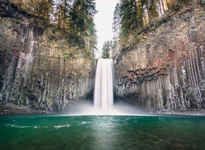
Abiqua Falls
4.90.69 mi / 115 ft gainThis trail is unmarked and a little rough and rugged. The land is privately owned by Mount Angel Abbey, but they don't appear to have problems with courteous hikers. Walking out of the parking area back up the road in the direction you came from, you’ll pass one dirt trail right at the ending of ...Read more -
Sisters, Oregon
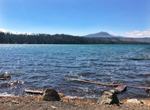
Suttle Lake Loop
5.03.66 mi / 128 ft gainBeginning at the Suttle Lake Lodge just off Highway 20, the Suttle Lake Loop follows a wide dirt path that circumnavigates the entire lake. Hug the lake whenever the trail opens up to camping areas or pavement - it's nearly impossible to become lost on this track. Pass campsites, kayakers, and r...Read more -
Deschutes County, Oregon
Skylight Cave
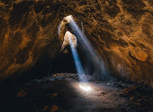
4.40.2 mi / -25 ft gainThe hardest part about getting to Skylight Cave is the drive. Start by coming from Sisters, Oregon, and use the driving directions below to find it. The Google Maps pin is accurate, and if you like coordinates, you can use 44°20'55.3"N 121°42'55.9"W as well. It's recommended you download an offl...Read more -
Corvallis, Oregon
Mary's Peak
4.452 mi / 4020 ft gainThis ride takes you from the banks of the Willamette River at the Corvallis waterfront to the top of Mary's Peak, 26 miles and 4,000 vertical feet away. While it starts out with a warm-up through the flats of the Willamette Valley, it quickly starts climbing up around the west side of Mary's Pea...Read more -
Camp Sherman, Oregon
Black Butte
4.53.94 mi / 1493 ft gainJust outside of Sisters Oregon is the stunning and popular day hike to the summit Black Butte (Elevation 6,436 feet). At the top, spectacular views of the surrounding Cascades await the intrepid hiker. To get to the trailhead, turn off of Highway 22 onto National Forest Road (NFR) 11, also known...Read more -
Clackamas County, Oregon
Bagby Hot Springs
4.32.91 mi / 397 ft gainBagby Hot Springs is actually a set of amazing bathhouses nestled in the forest outside of Estacada. They are one of Oregon’s most poplar hot springs, and for good reason. The hike into the hot springs is easy and quite scenic. You’ll cross a bridge over Nohorn Creek and follow the Hot Springs Fo...Read more -
Camp Sherman, Oregon
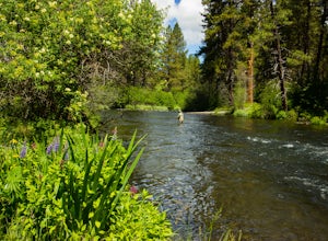
Fly Fishing the Metolius
5.0If there were a river in heaven it would be the Metolius. This gem located near Sisters Oregon offers year-round fly-fishing (only) to anyone who wishes to do so. The area offers multiple types of accommodations from tent camping to staying in resort-like cabins on the river. The best time to go...Read more -
Corvallis, Oregon
Hike Woodland Meadow Park Loop
0.5 mi / 59 ft gainThis trail is perfect for jogging or walking, with your pup! The loop is located near a popular dog park in Corvallis, and so can get crowded in the evenings after work. There is ample room for you dog and you to get out and enjoy nature.Read more -
Eugene, Oregon
Spencer Butte Loop
4.51.6 mi / 564 ft gainGetting There Searching Spencer Butte Trailhead Parking Lot on Google Maps will direct you to exactly where you need to go. From downtown Eugene/ UO you'll drive south on Willamette St. until you see an official park sign for Spencer Butte Park. Take a left on the gated road (will be locked duri...Read more -
Corvallis, Oregon
Explore the Finley Wildlife Refuge
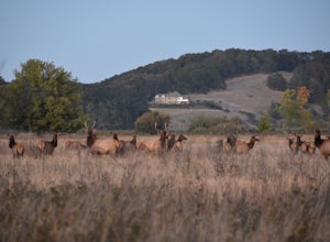
4.3Starting at the visitor center, the trail begins west heading into the forest where you’ll only gain around a couple hundred feet of elevation. While you are hiking on this trail you are surrounded by conifer trees, little open areas of sitting water, and look outs that are hidden within the trai...Read more

