Cascadia, Oregon
Top Spots in and near Cascadia
-
Eugene, Oregon
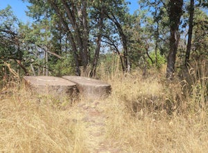
Wild Iris Ridge Loop from Summit Sky Boulevard
5.01.58 mi / 220 ft gainWild Iris Ridge Loop from Summit Sky Boulevard is a loop trail where you may see beautiful wildflowers located near Eugene, Oregon.Read more -
Camp Sherman, Oregon
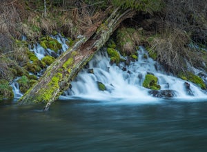
Hike the West Metolius River Trail
8 mi / 280 ft gainThe West Metolius River trail is one of the finest river trails in Central Oregon due to its easy terrain, beautiful blue water, volcanic spring fed waterfalls, and forest views. The hike starts just downstream from the Lower Canyon Creek Campground, where there is a bathroom and some picnic tab...Read more -
Marion County, Oregon
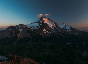
Explore Mt. Jefferson
5.0I went for a quick overnighter. The end of August is great for weather, very little bugs, and perfect time to meet and chat with PCT through hikers.The weather was absolutely perfect for night photography and lounging around camp. It's also one of the best views in Oregon if you ask me.If you're ...Read more -
Marion County, Oregon
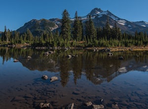
Hike Mt. Jefferson's Park Ridge
5.07.4 mi / 1500 ft gainFrom the Breightenbush Lake PCT trailhead (5,600ft Elevation) you hike through a thick forest until you reach an old burn area. This area was burned from a forest fire and has rebirthed lush green plants and bushes to help feed all the animals in the area. After a mile of climbing through the bur...Read more -
Deschutes County, Oregon
Chush Falls
3.35.75 mi / 823 ft gainJust outside of Sisters, Oregon, near Bend, is a beautiful hike to a picturesque waterfall. It is rarely crowded thanks (and no thanks) to the Pole Creek Fire, which ravaged the area several years ago. Because of the fire, the hike and landscape have been drastically altered. What used to be a 2-...Read more -
Corvallis, Oregon
Dimple Hill Via Patterson Road 600
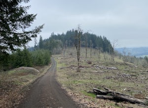
4.86 mi / 715 ft gainDimple Hill Via Patterson Road 600 is a loop trail where you may see local wildlife located near Corvallis, Oregon.Read more -
Corvallis, Oregon
Baker Creek Loop
9.42 mi / 1936 ft gainBaker Creek Loop is a loop trail that takes you by a river located near Adair Village, Oregon.Read more -
Corvallis, Oregon
Vineyard Mountain Loop
3.36 mi / 505 ft gainVineyard Mountain Loop is a loop trail located near Corvallis, Oregon.Read more -
Corvallis, Oregon
Lewisburg Saddle Upper Horse Trail Loop
4.53.17 mi / 630 ft gainLewisburg Saddle Upper Horse Trail Loop is a loop trail in McDonald-Dunn Forest located near Adair Village, Oregon. The trail is dog, horse, and Mountain Bike friendly. If bringing your pup, please be sure to keep in on-leash with horses and other wildlife potentially on the trail. The loop sin...Read more -
Corvallis, Oregon
Hike Bald Hill
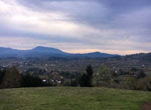
4.02.7 mi / 452 ft gainThis is a short hike on the outskirts of Corvallis. It's a popular hiking/trail running destination. There are several vantage points that overlook the city of Corvallis and Willamette Valley. It's a great place to visit if you want to do a short hike in the town of Corvallis.Read more -
Corvallis, Oregon
420, 300, and 400 Trails Loop
4.06.64 mi / 1043 ft gain420, 300, and 400 Trails Loop is a loop trail that takes you through a nice forest located near Corvallis, Oregon.Read more -
Deschutes County, Oregon
South Sister via Devil's Lake Trailhead
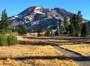
5.011.8 mi / 4900 ft gainNot only is South Sister a stunning image and visible from hundreds of miles throughout Central Oregon, but it is a great beginner climb to introduce hikers to high altitude mountain life. As long as you’re mentally prepared, have good physical endurance, and pack right, there’s no reason why thi...Read more -
Deschutes County, Oregon
Hike to Moraine Lake Beneath South Sister
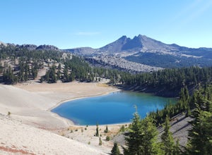
5.05 mi / 1476 ft gainThe lake is less than 3 miles from Devils Lake. Starting from the Trail head along Cascade Lakes Highway you gain 1,476 feet of elevation. You will follow the South Sisters Climbers trail, it is well traveled, and well marked. The majority of the elevation gain occurs in the first two miles, as y...Read more -
Lowell, Oregon
Mount June Trail
5.02.21 mi / 833 ft gainMount June Trail in Lowell, Oregon, is a moderate difficulty hiking trail that stretches for 2.21 miles. The trail is known for its steep inclines and rocky terrain, making it a challenging yet rewarding hike. The trailhead is located off of Lost Creek Road, with a small parking area available fo...Read more -
Corvallis, Oregon
McCulloch Peak Loop
5.07.17 mi / 1719 ft gainMcCulloch Peak Loop is a loop trail where you may see local wildlife located near Corvallis, Oregon.Read more -
Molalla, Oregon
Huckleberry, Mark's and Looney's Gate Loop
4.03.72 mi / 702 ft gainHuckleberry, Mark's and Looney's Gate Loop is a loop trail that takes you through a nice forest located near Molalla, Oregon.Read more

