Corvallis, Oregon
Top Spots in and near Corvallis
-
Corvallis, Oregon
Hike Woodland Meadow Park Loop
0.5 mi / 59 ft gainThis trail is perfect for jogging or walking, with your pup! The loop is located near a popular dog park in Corvallis, and so can get crowded in the evenings after work. There is ample room for you dog and you to get out and enjoy nature.Read more -
Corvallis, Oregon
Mary's Peak
4.452 mi / 4020 ft gainThis ride takes you from the banks of the Willamette River at the Corvallis waterfront to the top of Mary's Peak, 26 miles and 4,000 vertical feet away. While it starts out with a warm-up through the flats of the Willamette Valley, it quickly starts climbing up around the west side of Mary's Pea...Read more -
Corvallis, Oregon
Hike Bald Hill
4.02.7 mi / 452 ft gainThis is a short hike on the outskirts of Corvallis. It's a popular hiking/trail running destination. There are several vantage points that overlook the city of Corvallis and Willamette Valley. It's a great place to visit if you want to do a short hike in the town of Corvallis.Read more -
Corvallis, Oregon
McCulloch Peak Loop
5.07.17 mi / 1719 ft gainMcCulloch Peak Loop is a loop trail where you may see local wildlife located near Corvallis, Oregon.Read more -
Corvallis, Oregon
Hike the Fitton Green Natural Area Trail
5.05 mi / 1190 ft gainThis is a moderately trafficked trail near Corvallis, OR. It is great for rainy days as much of the trail is paved or has gravel. It is a popular spot for mountain bikers and hikers alike. Some parts of the trail have little shade. There are amazing views of the tall grassy hills and the town...Read more -
Corvallis, Oregon
Baker Creek Loop
9.42 mi / 1936 ft gainBaker Creek Loop is a loop trail that takes you by a river located near Adair Village, Oregon.Read more -
Corvallis, Oregon
Dimple Hill Via Patterson Road 600
4.86 mi / 715 ft gainDimple Hill Via Patterson Road 600 is a loop trail where you may see local wildlife located near Corvallis, Oregon.Read more -
Corvallis, Oregon
Vineyard Mountain Loop
3.36 mi / 505 ft gainVineyard Mountain Loop is a loop trail located near Corvallis, Oregon.Read more -
Corvallis, Oregon
Lewisburg Saddle Upper Horse Trail Loop
4.53.17 mi / 630 ft gainLewisburg Saddle Upper Horse Trail Loop is a loop trail in McDonald-Dunn Forest located near Adair Village, Oregon. The trail is dog, horse, and Mountain Bike friendly. If bringing your pup, please be sure to keep in on-leash with horses and other wildlife potentially on the trail. The loop sin...Read more -
Corvallis, Oregon
420, 300, and 400 Trails Loop
4.06.64 mi / 1043 ft gain420, 300, and 400 Trails Loop is a loop trail that takes you through a nice forest located near Corvallis, Oregon.Read more -
Corvallis, Oregon
Explore the Finley Wildlife Refuge
4.3Starting at the visitor center, the trail begins west heading into the forest where you’ll only gain around a couple hundred feet of elevation. While you are hiking on this trail you are surrounded by conifer trees, little open areas of sitting water, and look outs that are hidden within the trai...Read more -
Monroe, Oregon
Alsea Falls and Green Peak Falls
4.32.4 mi / 269 ft gainThis is a great and easy day hike that features two waterfalls - Alsea Falls and Green Peak Falls - amid beautiful Oregon Coast Range scenery. This hike is perfect for a family trip as the trail is dog-friendly, the Alsea River serves as a swimming hole on hot days, and there is a picnic area jus...Read more -
Falls City, Oregon
Ride Black Rock Mountain Bike Trails
5.010 mi / 2000 ft gainBlack Rock Mountain Bike area is the perfect place to hone your MTB skills and take your riding to the next level. Black Rock offers clearly marked single track trails riddled with wooden ramps, berms and dirt features. There are trails ranging from "green" to "double black diamond", ensuring the...Read more -
Sweet Home, Oregon
Horse Rock Ridge Research Natural Area
5.03.74 mi / 951 ft gainHorse Rock Ridge Research Natural Area in Sweet Home, Oregon, offers a unique hiking trail that spans approximately 3.74 miles. The trail is moderately difficult, with an elevation gain of 951 feet, making it suitable for intermediate hikers. The trail begins in a dense forest of Douglas fir and ...Read more -
Lebanon, Oregon
Hike McDowell Creek County Park
4.9GPS coordinates Lat: 44.46389 Long: -122.68278Exit off I-5 in Albany onto Highway 20 and proceed for approximately 20 miles to McDowell Creek Road and turn left, follow McDowell Creek Road - watching for signs for the park - for about 6 ½ miles, to the first of three parking areas within the park...Read more -
Blachly, Oregon
Triangle Lake Rock Slides and Lake Creek Falls
4.7Stay cool on a hot summer day with a natural rock water slide, multiple swimming hole areas, and multiple waterfalls. This is perfect for relaxing in the sun! The sign for the parking area is upstream of the falls. There is a store across from the lake if you need any last minute food and drinks...Read more
Top Activities
Camping and Lodging in Corvallis
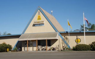
Albany, Oregon
Albany / Corvallis KOA Journey
At Albany/Corvallis KOA, you'll have easy access to area attractions. Visit the many wineries in Linn and Benton counties. You're within ...
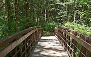
Monroe, Oregon
Alsea Falls Recreation Site
Overview
Alsea Falls Recreation Site is located along a Bureau of Land Management National Back Country Byway, located in the Oregon Coas...
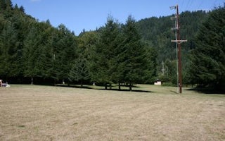
Alsea, Oregon
River Edge
Overview
River Edge is a group campground nestled on the banks of the Alsea River, surrounded by large Sitka spruce, Douglas fir, alder t...
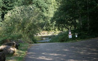
Tidewater, Oregon
Blackberry
Overview
Blackberry Campground is perched on a heavily wooded bluff overlooking the Alsea River. The well-maintained campground offers pl...

Marcola, Oregon
Shotgun Creek Recreation Site
Overview
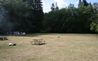
The refreshing location with its lush, forest setting, coupled with comforts normally associated with an urban park, blend seaml...
Waldport, Oregon
Canal Creek
Overview
Canal Creek is a group campground where campers can truly get away from the hustle and bustle of the city and immerse themselves...


