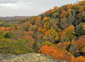
West Jefferson, Ohio
Looking for the best hiking in West Jefferson? We've got you covered with the top trails, trips, hiking, backpacking, camping and more around West Jefferson. The detailed guides, photos, and reviews are all submitted by the Outbound community.
Top Hiking Spots in and near West Jefferson
-
Yellow Springs, Ohio
Rock Climb at John Bryan SP
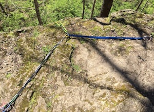
If you are new to climbing, someone who really enjoys toprope climbing or if you live in west central Ohio and are looking to climb somewhere within a reasonable driving distance, John Bryan State Park is a great option. Equipment is not provided and all climbers are encouraged to use safe climbi...Read more -
Yellow Springs, Ohio
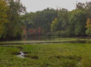
Hike the North Rim of the Little Miami River
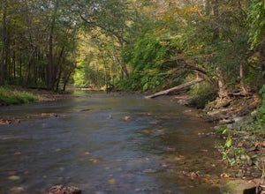
4.52.7 mi / 250 ft gainStarting at the lower parking lot, follow the signs that direct you to the trails near the shelterhouse. Within 0.2 of a mile the trail forks; follow the left fork heading east along the Little Miami River. This is the Pittsburgh-Cincinnati Stagecoach Trail, which for 1.3 miles winds its way alon...Read more -
Yellow Springs, Ohio
Visit the Tecumseh Sunflower Field
4.0If you're driving along US 68 towards Yellow Springs, Ohio in early September, you just may be lucky enough to come upon the Tecumseh Sunflower Field in full bloom! You only have about two-three weeks where the flowers will be bright, happy and alive, so make plans to hit it in time. There is f...Read more -
Springfield, Ohio
Explore the History of George Rogers Clark Park
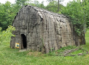
5.0The George Rogers Clark Park has over 6 miles of nature hiking trails as well as a fishing pond. There are large A-frames at several points in the park to set up for the afternoon and grill some hotdogs, and plenty of field space to lay out some blankets and break out the picnic basket. The bigge...Read more -
Yellow Springs, Ohio
Glen Helen Nature Preserve Loop
2.77 mi / 367 ft gainGlen Helen is located just next to downtown Yellow Springs, a small but well-known town popular for its eclectic and artistic community. This preserve was set to close permanently in 2020 due to lack of funding, but the former owner Antioch College sold the preserve to the Glen Helen Association ...Read more -
Bellefontaine, Ohio
Visit Campbell Hill
0.1 mi / 10 ft gainOne of the easiest of the 50 State Highpoints in the United States to visit, Campbell Hill sits just outside Bellefountaine (pronounced Bell-fountain), Ohio. Sitting on the grounds of the Hi-Point Career Center, Campbell Hill is open to visitors virtually everyday of the year during daylight hour...Read more -
Saint Paris, Ohio
Camp at Kiser Lake
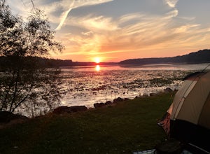
5.0This pet-friendly park has some great sites for lakeside camping, all on the east-end of the lake, giving campers a great view of the sunset. The sites are near a 'field' of lily pads, and the frog calls that emanate from the area make for a relaxing sound to sleep to. There are few trees lakes...Read more -
Chillicothe, Ohio
Hike the Shawnee Ridge Trail
10 miStarting at the northern parking lot, head south along the Shawnee Ridge Trail. Several spur and loop trails intersect the trail along the 10 mile out-and-back hike. Many of these spur trails include difficult hikes up large hills like Sugarloaf Mountain, Sand Hill, and Mt. Ives. At each trail in...Read more -
Rockbridge, Ohio
Hike to Ramona Lake
11 mi / 1600 ft gainStarting at the Creekside Meadows Parking Lot, follow the Creekside Meadows Trail for 0.3 of a mile until it forks into two trails. Follow the left fork towards the road, and as soon as you cross the road, the Cemetery Ridge Trail begins. Once across Clear Creek Road, the trail gains elevation fa...Read more -
Rockbridge, Ohio
Hike the Cantwell Cliffs Loop
5.01 mi / 100 ft gainCantwell Cliffs is one of the more northern units of the overall Hocking Hills State Park Region. Located off of OH SR 374, a short 0.1 spur trail takes you from the parking lot to the rim of the gorge and the area's namesake cliffs. From there, you have two choices: Turn left and descend through...Read more -
Laurelville, Ohio
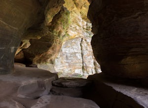
Explore the Rock House
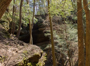
5.00.5 mi / 150 ft gainFrom the Rock House parking lot, follow the trail for 0.1 mile down the hill until you come to a fork in the trail, at which point follow the yellow marked Lower Rim Trail that continues downhill through a set of carved sandstone steps and then turns to parallel the cliffs. From there, it's less ...Read more -
Sugarcreek Township, Ohio
Trail Run at Sweet Arrow Reserve
4.03.1 mi / 164 ft gainLike forests? Like fields? How bout running in them? If so, this is the park for you! There's a map at the parking lot to help you navigate each trail and plan your route. The parking lot also has plenty of space and a porta-john. Trails are short, but you can mix and match them to create the dis...Read more -
Logan, Ohio
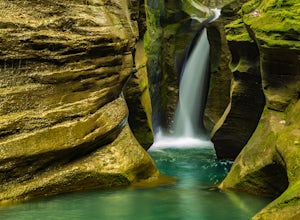
Corkscrew Falls
3.81 mi / 35 ft gainI like to describe this waterfall as the "elusive" Corkscrew Falls (aka Robinson Falls). A couple of years ago, only one or two people had blogged on the internet about these falls. They were not super, descriptive details, so most of the time I wandered around till I found the trail. There is no...Read more -
Huntsville, Ohio
Hike the Pew Island Trail, Indian Lake
1 miI hiked this trail on a very cold, blustery day. A winter storm was blowing in across the ice and temperatures were downright frigid. Nevertheless, this trail was enjoyable and offered some great views of the lake. It is a very easy one mile loop and has a couple of side trails for fishing and hu...Read more -
Rockbridge, Ohio
Hike the Gorge at Conkle's Hollow
4.63 mi / 200 ft gainStarting from the parking lot, cross the small foot bridge before coming to where the trail splits. You will have 3 options (straight, left or right). My personal opinion on route will be described below.Take the paved path that explores the valley floor first. It is an easy 1/2 mile out and b...Read more

