Grove City, Ohio
Top Spots in and near Grove City
-
Springfield, Ohio
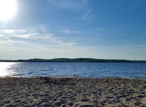
Swim at Buck Creek SP
2.5Officially opened in 1975, Buck Creek State Park is home to a 2,120 acre lake with 1,896 acres of land consisting of forests, meadows, a beach, and two dams. On a warm summer day, this beach is the place to be! Plenty of free parking and plenty of space to spread out. It is the only beach in Spri...Read more -
Springfield, Ohio
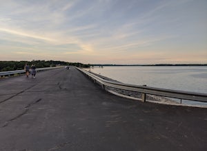
Stroll along the Dam at the CJ Brown Reservoir
3.01.2 miThis walk is safe, open, flat and perfect for getting some exercise with a view! The dam is 1.2 miles round trip, and open for a variety of activities - walking, jogging, biking, skateboarding, and rollerblading! At the far end of the dam is a long set of stairs leading to the lower parking lot...Read more -
Springfield, Ohio
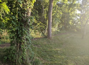
Hike the Stone's Throw Trail
4.00.8 miThis 0.4 trail is tiny but mighty! It is hidden up the hill from the CJ Brown Reservoir Visitor Center, and leads down a small wooded path to a less accessed part of the lake. This is a common spot for birdwatching, and a favorite place for Springfield's elusive Great Blue Herons. Follow the p...Read more -
Rockbridge, Ohio
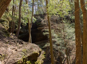
Hike the Cantwell Cliffs Loop
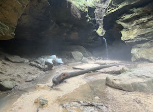
5.01 mi / 100 ft gainCantwell Cliffs is one of the more northern units of the overall Hocking Hills State Park Region. Located off of OH SR 374, a short 0.1 spur trail takes you from the parking lot to the rim of the gorge and the area's namesake cliffs. From there, you have two choices: Turn left and descend through...Read more -
Laurelville, Ohio
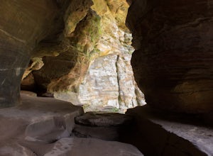
Explore the Rock House
5.00.5 mi / 150 ft gainFrom the Rock House parking lot, follow the trail for 0.1 mile down the hill until you come to a fork in the trail, at which point follow the yellow marked Lower Rim Trail that continues downhill through a set of carved sandstone steps and then turns to parallel the cliffs. From there, it's less ...Read more -
Logan, Ohio
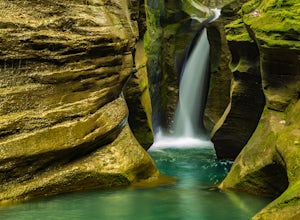
Corkscrew Falls
3.81 mi / 35 ft gainI like to describe this waterfall as the "elusive" Corkscrew Falls (aka Robinson Falls). A couple of years ago, only one or two people had blogged on the internet about these falls. They were not super, descriptive details, so most of the time I wandered around till I found the trail. There is no...Read more -
Yellow Springs, Ohio
Clifton Gorge
4.02.5 mi / 118 ft gainThe entirety of this hike is within the Clifton Gorge State Nature Preserve, a protected park with strict restrictions on off-trail travel with pets prohibited. Starting at the parking lot off of Jackson St, follow the trail northwest along the narrows of Clifton Gorge. Here, the river has carve...Read more -
Springfield, Ohio
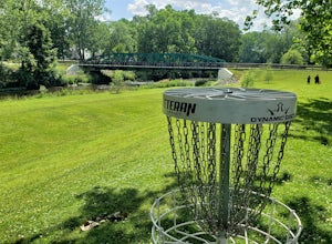
Disc Golf at Snyder Park
4.0This course, sponsored by Hazy Shade, is not for beginners! It is for disc golfers who have some experience and are willing to challenge themselves and live on the edge. Almost every hole has a water hazard, with several of them being in spots that may cause you to need to stop and switch your ga...Read more -
Rockbridge, Ohio
Hike the Gorge at Conkle's Hollow
4.63 mi / 200 ft gainStarting from the parking lot, cross the small foot bridge before coming to where the trail splits. You will have 3 options (straight, left or right). My personal opinion on route will be described below.Take the paved path that explores the valley floor first. It is an easy 1/2 mile out and b...Read more -
Cedarville, Ohio
Hike to Cedar Cliff Falls
4.42.6 mi / 250 ft gainStarting from the Indian Mound Reserve parking lot, follow the private drive back until the signs indicate to follow the trail through the woods to the right, about 1/4 mile. Make sure you stay right of the painted yellow line on the road, trespassers on the private land surrounding the park are ...Read more -
Cedarville, Ohio
Hike the Gorge Trail at Indian Mounds
5.0Cedarville, Ohio is known for its expansive farmland, but in the Indian Mounds Park you'll find several unique features, such as the cavern located on the Gorge Trail! This cave is formed out of the side of a cliff and is perfect for easy exploration and climbing. When the water is low enough yo...Read more -
West Liberty, Ohio
Explore Ohio Caverns
4.81 mi / 80 ft gainOhio Caverns is a locally owned private establishment with guided tours through the cave system that lies beneath the rolling farmland of Central Western Ohio. The caves were formed by the dissolution of the Devonian limestone bedrock below, giving way to some of the most phenomenal cave features...Read more -
Rockbridge, Ohio
Conkle's Hollow Gorge Trail
1.17 mi / 243 ft gainConkle's Hollow Gorge Trail is an out-and-back trail that takes you by a waterfall located near Rockbridge, Ohio.Read more -
Springfield, Ohio
Climb at Mad River Gorge
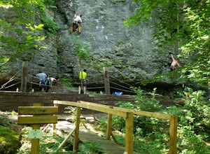
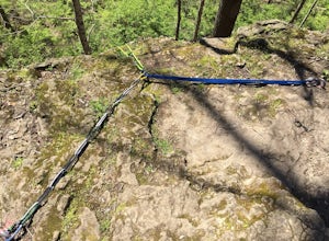
1 miJust a short hike down from the parking lot lies a half mile of cliffside full of climbing opportunities! Plenty of variety for different skill levels, although someone in your group will need to lead climb to set up the route first. There are hooks already in place on each route, and you are not...Read more -
Yellow Springs, Ohio
Rock Climb at John Bryan SP
If you are new to climbing, someone who really enjoys toprope climbing or if you live in west central Ohio and are looking to climb somewhere within a reasonable driving distance, John Bryan State Park is a great option. Equipment is not provided and all climbers are encouraged to use safe climbi...Read more -
Yellow Springs, Ohio
Hike the North Rim of the Little Miami River
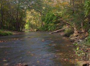
4.52.7 mi / 250 ft gainStarting at the lower parking lot, follow the signs that direct you to the trails near the shelterhouse. Within 0.2 of a mile the trail forks; follow the left fork heading east along the Little Miami River. This is the Pittsburgh-Cincinnati Stagecoach Trail, which for 1.3 miles winds its way alon...Read more

